Near Thurmont in Frederick County, Maryland — The American Northeast (Mid-Atlantic)
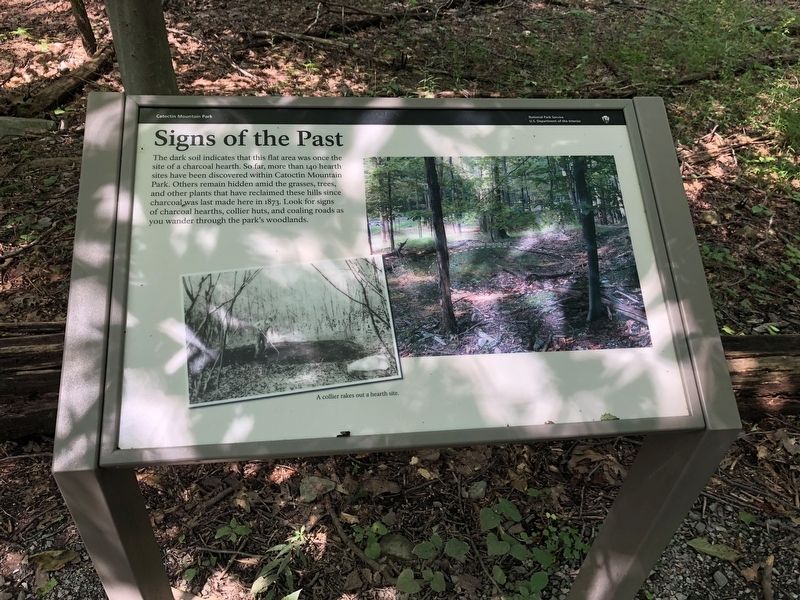
Signs of the Past
Catoctin Mountain Park
— National Park Service, U.S. Department of the Interior —
Erected by National Park Service, U.S. Department of the Interior.
Topics. This historical marker is listed in this topic list: Industry & Commerce. A significant historical year for this entry is 1873.
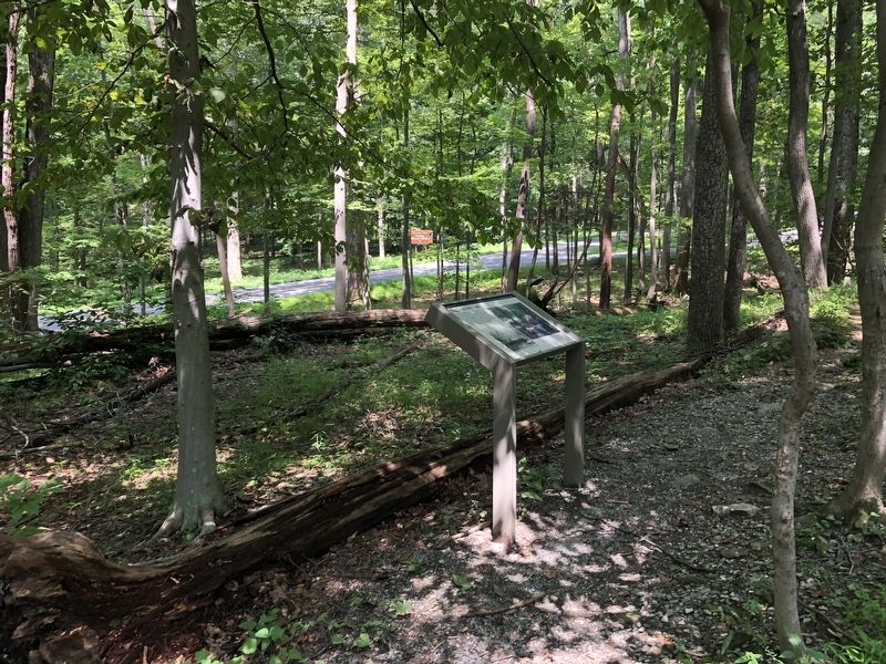
Location. 39° 38.788′ N, 77° 26.649′ W. Marker is near Thurmont, Maryland, in Frederick County. Marker can be reached from Park Central Road north of Foxville Road (Maryland Route 77), on the right when traveling north. On the grounds of Catoctin Mountain Park. Touch for map. Marker is at or near this postal address: 14707 Park Central Road, Thurmont MD 21788, United States of America. Touch for directions.
Other nearby markers. At least 8 other markers are within walking distance of this marker. Fueling the Furnace (within shouting distance of this marker); Collier's Hut (about 300 feet away, measured in a direct line); Wood—the Essential Ingredient (about 400 feet away); Making Charcoal (about 600 feet away); Wood Hauler's Sled (about 700 feet away); Preparing the Hearth (approx. 0.2 miles away); Making Whiskey (approx. 0.6 miles away); Blue Blazes Still (approx. 0.7 miles away). Touch for a list and map of all markers in Thurmont.
Credits. This page was last revised on March 19, 2019. It was originally submitted on August 5, 2018, by Devry Becker Jones of Washington, District of Columbia. This page has been viewed 91 times since then and 9 times this year. Photos: 1, 2. submitted on August 5, 2018, by Devry Becker Jones of Washington, District of Columbia. • Bill Pfingsten was the editor who published this page.

