Liberty in Liberty County, Texas — The American South (West South Central)
Liberty County
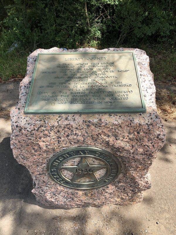
A trail across this region traveled and described by Alonso de Leon in 1690 became the "La Bahía" or "Lower Road" in the 18th century. First settlement, Atascocita, established in 1757. The town established May 5, 1831 as the "Villa de la Santísima Trinidad de la Libertad" (City of the Blessed Trinity of Liberty) became the county seat and gave the county its name when created and organized in 1836.
Erected 1936 by Texas Highway Department. (Marker Number 9669.)
Topics and series. This historical marker is listed in this topic list: Political Subdivisions. In addition, it is included in the Texas 1936 Centennial Markers and Monuments series list. A significant historical year for this entry is 1836.
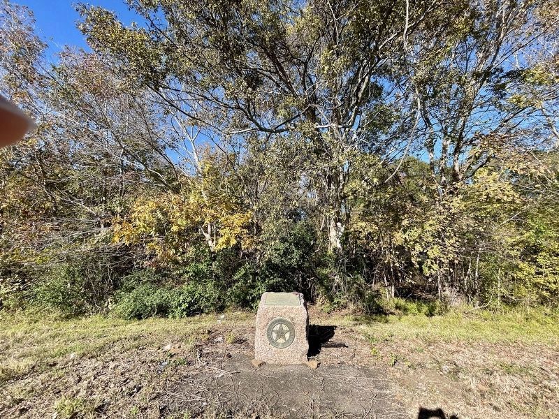
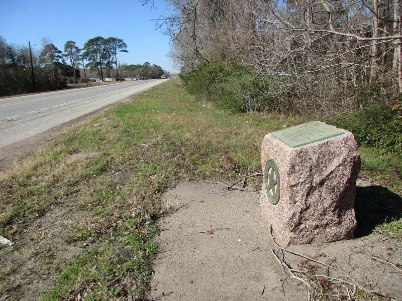
Location. 30° 3.382′ N, 94° 45.63′ W. Marker is in Liberty, Texas, in Liberty County. Marker is on U.S. 90, 0.7 miles east of Texas Highway 146, on the right when traveling west. Touch for map. Marker is in this post office area: Liberty TX 77575, United States of America. Touch for directions.
Other nearby markers. At least 8 other markers are within 2 miles of this marker, measured as the crow flies. Our Mother of Mercy Catholic Church (approx. one mile away); Camp Liberty (approx. 1.2 miles away); Trinity Valley Exposition (approx. 1.2 miles away); Griffin Methodist Cemetery (approx. 1.6 miles away); The Ruth Canfield Park (approx. 1.6 miles away); Mexican Hill (approx. 1.9 miles away); Cleveland-Partlow House (approx. 2 miles away); Liberty Masonic Lodge No. 48, A.F. & A.M. (approx. 2.1 miles away). Touch for a list and map of all markers in Liberty.
Also see . . . Liberty County - The Handbook of Texas Online. Texas State Historical Association (TSHA) (Submitted on August 7, 2018, by Brian Anderson of Humble, Texas.)
Credits. This page was last revised on January 23, 2024. It was originally submitted on August 7, 2018, by Brian Anderson of Humble, Texas. This page has been viewed 784 times since then and 130 times this year. Photos: 1. submitted on August 7, 2018, by Brian Anderson of Humble, Texas. 2. submitted on December 2, 2022, by QuesterMark of Fort Worth, Texas. 3. submitted on January 23, 2024, by Jeff Leichsenring of Garland, Texas. • Andrew Ruppenstein was the editor who published this page.


