Marker Logo HMdb.org THE HISTORICAL
MARKER DATABASE
“Bite-Size Bits of Local, National, and Global History”
Mount Sterling in Montgomery County, Kentucky — The American South (East South Central)
 

Mt. Sterling, Kentucky

Established 1792


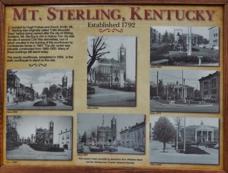
Mt. Sterling, Kentucky Marker image. Click for full size.
Photographed By Cosmos Mariner, September 19, 2017
1. Mt. Sterling, Kentucky Marker
Inscription. Founded by Hugh Forbes and Enoch Smith, Mt. Sterling was originally called "Little Mountain Town" before being named after the city of Stirling, Scotland. Mt. Sterling is rich in history. Our city was the site of several Civil War skirmishes, one of which resulted in the burning of the courthouse by Confederate forces in 1863. The city center was primarily constructed from 1880-1900. Many of those buildings still stand today.

The county courthouse, completed in 1959, is the sixth courthouse to stand on this site.

This marker made possible by donations from Whitaker Bank and the Montgomery County Historical Society

 
Erected by Whitaker Bank and the Montgomery County Historical Society.
 
Topics. This historical marker is listed in this topic list: Settlements & Settlers. A significant historical year for this entry is 1863.
 
Location. 38° 3.372′ N, 83° 56.556′ W. Marker is in Mount Sterling, Kentucky, in Montgomery County. Marker is at the intersection of West Main Street (U.S. 60) and Broadway Street, on the right when traveling east on West Main Street. Marker is located on the sidewalk, directly in front of the Whittier Bank building. Touch for map. Marker is at or near this postal address: 30 West Main Street, Mount Sterling KY 40353, United States of America. Touch for directions.
 
Other nearby markers. At least 8 other
Paid Advertisement
Click on the ad for more information.
Please report objectionable advertising to the Editor.
Click or scan to see
this page online
markers are within walking distance of this marker. Montgomery County. 1797 (within shouting distance of this marker); Courthouse Burned (within shouting distance of this marker); Civil War Robbery / Bank Sues (within shouting distance of this marker); Montgomery County Korean War Memorial (about 300 feet away, measured in a direct line); Montgomery County Kentucky World War I Memorial (about 300 feet away); Montgomery County World War II Memorial (about 300 feet away); Montgomery County Kentucky Vietnam Casualties (about 300 feet away); Battle of Mt. Sterling (about 300 feet away). Touch for a list and map of all markers in Mount Sterling.
 
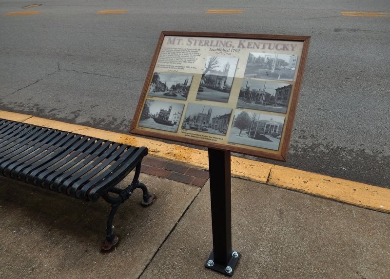
More about this marker. This is a large, wood-framed and glass-covered "poster-style" marker, mounted horizontally on a waist-high post.
 
Mt. Sterling, Kentucky Marker (<i>wide view; Main Street in background</i>) image. Click for full size.
Photographed By Cosmos Mariner, September 19, 2017
2. Mt. Sterling, Kentucky Marker (wide view; Main Street in background)
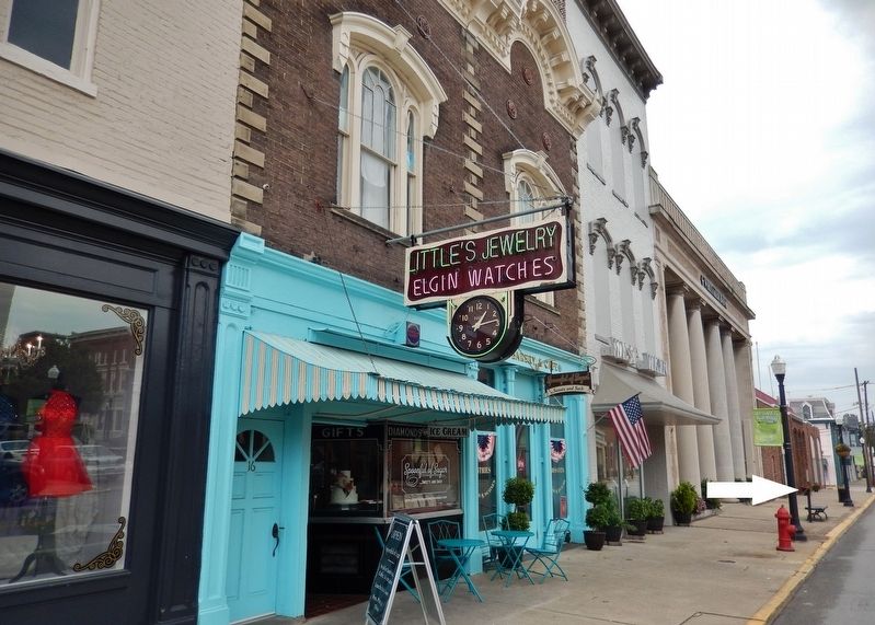
Main Street (<i>wide view looking west toward marker; marker visible edge-on at far right</i>) image. Click for full size.
Photographed By Cosmos Mariner, September 19, 2017
3. Main Street (wide view looking west toward marker; marker visible edge-on at far right)
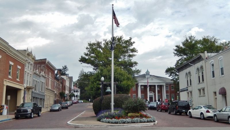
Broadway Street & Old Courthouse (right) (<i>wide view looking north from marker</i>) image. Click for full size.
Photographed By Cosmos Mariner, September 19, 2017
4. Broadway Street & Old Courthouse (right) (wide view looking north from marker)
Montgomery County War Memorial Courthouse (<i>on Broadway Street, 1 block north of marker</i>) image. Click for full size.
Photographed By Cosmos Mariner, September 19, 2017
5. Montgomery County War Memorial Courthouse (on Broadway Street, 1 block north of marker)
 
 
Credits. This page was last revised on November 4, 2020. It was originally submitted on August 9, 2018, by Cosmos Mariner of Cape Canaveral, Florida. This page has been viewed 886 times since then and 140 times this year. Photos:   1, 2. submitted on August 9, 2018, by Cosmos Mariner of Cape Canaveral, Florida.   3. submitted on August 10, 2018, by Cosmos Mariner of Cape Canaveral, Florida.   4, 5. submitted on August 9, 2018, by Cosmos Mariner of Cape Canaveral, Florida. • Andrew Ruppenstein was the editor who published this page.
Share this page.  
Share on Tumblr
m=121383

CeraNet Cloud Computing sponsors the Historical Marker Database.
This website earns income from purchases you make after using our links to Amazon.com. We appreciate your support.
Paid Advertisement
Apr. 25, 2024