Custer in Custer County, South Dakota — The American Midwest (Upper Plains)
An Expedition of Mixed Outcomes
The Custer Expedition of 1874 Ignited Interest in the Black Hills
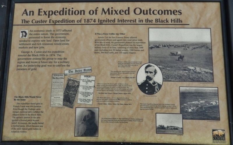
An economic crash in 1873 affected the entire nation. The government, pressured to boost the economy, needed to explore new land. Open land for settlement and rich resources would create markets and new jobs.
George A. Custer and his expedition entered the Black Hills in 1874. The government ordered his group to map the region and locate a future site for a military post. An underlying goal was to confirm the presence of gold.
It Was a Force Unlike Any Other
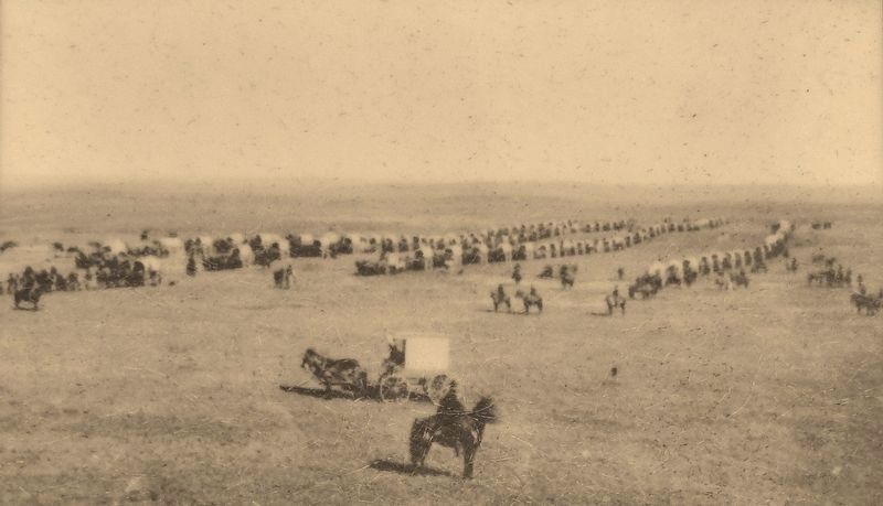
Article 2 of the Fort Laramie Treaty allowed government officers and agents onto reservation lands. With this in mind, the government planned its exploration of the Black Hills. Custer's Expedition was the largest military force of its time, consisting of more than 1000 men (including over 50 Indian scouts), 1900 horses and mules, 300 beef cattle, and 110 supply wagons.
The Black Hills Would Never Be the Same
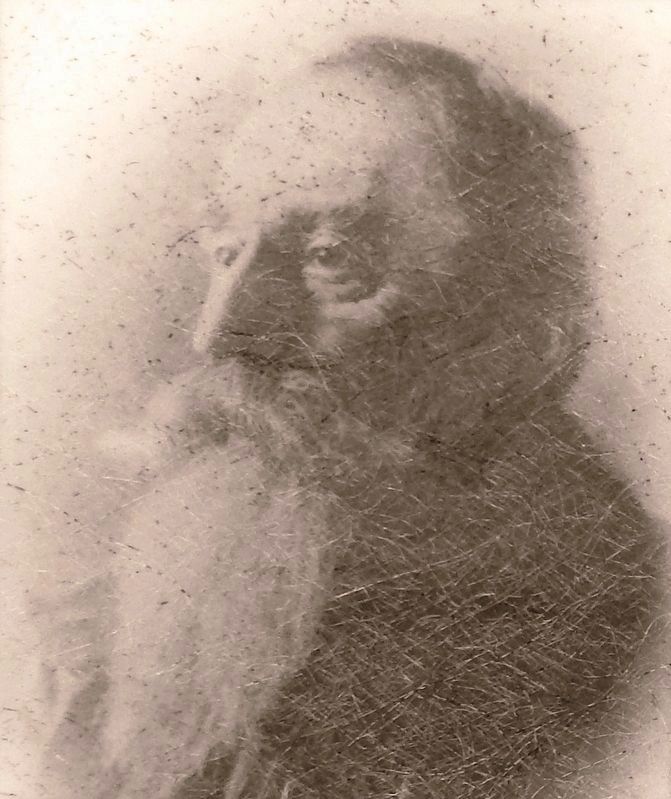
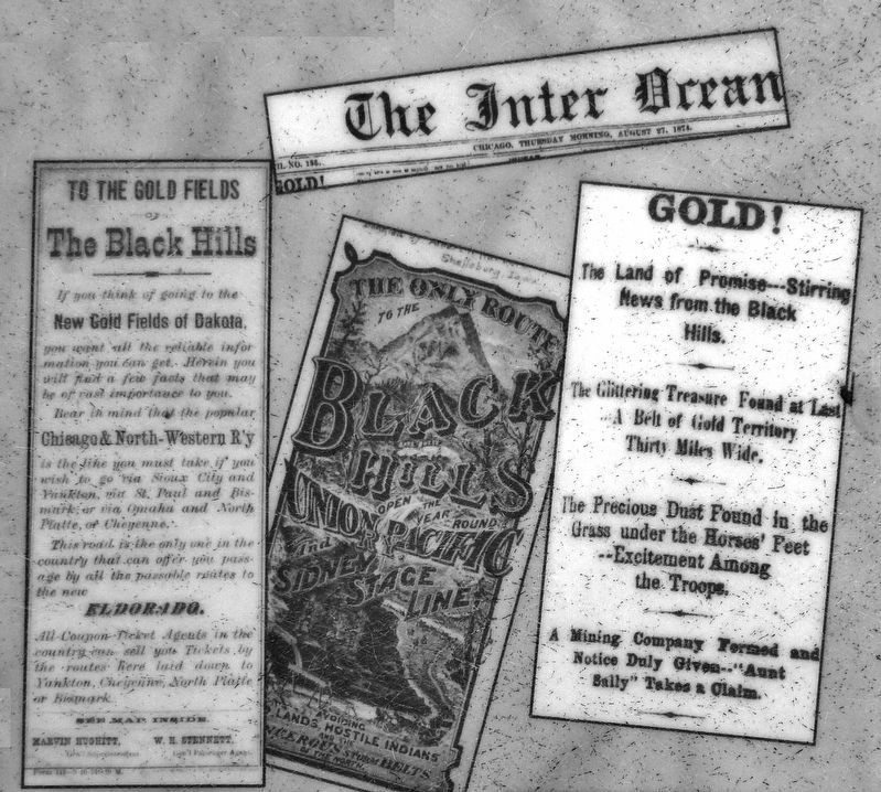
The expedition found gold in French Creek near this location. Even though the findings were meager, national news inflated the alleged riches in the Black Hills. The nation's interest in the area ignited a fevered pitch beyond belief. In essence, the media fueled a thrilled panic, which became one of the most famed gold rushes in American history.
"There is no greed like that for gold, and there is always danger of hasty and precipitate action under the stimulus of an excitement which urges the settler to fields like them. Men should reflect well before they move in such a matter, and weigh well the chances, the hardships, and the possibilities of failure."
The Daily Inter Ocean / Chicago, Illinois, August 1874
”The Black Hills region… as it is supposed to be rich in minerals and lumber, it is deemed important to have it freed an early as possible from Indian occupancy."
Charlie Collins • Editor / Sioux City Times, August 1874
Erected by Custer State Park, South Dakota.
Topics. This historical marker is listed in these topic lists: Exploration • Native Americans • Settlements & Settlers • Wars, US Indian. A significant historical year for this entry is 1874.
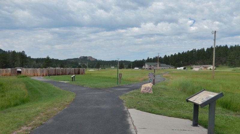
Location. 43° 46.217′ N, 103° 31.783′ W. Marker is in Custer, South Dakota, in Custer County. Marker can be reached from U.S. 16A east of Lower French Creek Road, on the right when traveling east. Marker is located along the path between the restored Gordon Stockade and the associated parking lot, just south of US Highway 16A on the east side of Custer. Touch for map. Marker is at or near this postal address: 25073 US Highway 16A, Custer SD 57730, United States of America. Touch for directions.
Other nearby markers. At least 8 other markers are within 3 miles of this marker, measured as the crow
flies. An Agreement Between Cultures (within shouting distance of this marker); Prospectors in Search of Gold (within shouting distance of this marker); A Legacy of Debate (within shouting distance of this marker); Anna Donna Tallent (about 800 feet away, measured in a direct line); Campsite of General Custer's Expedition (approx. 0.4 miles away); Stockade Lake Bridge (approx. 0.8 miles away); Glen Erin School (approx. one mile away); Fire Tower Lookouts (approx. 3 miles away). Touch for a list and map of all markers in Custer.
More about this marker. This marker is a large composite plaque, mounted horizontally on waist-high posts.
Related markers. Click here for a list of markers that are related to this marker. The Gordon Stockade
Also see . . .
1. 1874 Custer Expedition to the Black Hills. Moving southwest, the expedition reached the Belle Fourche River on July 18. Custer and his party were amazed by the Hills. June was, and still is, the best month to be in the area. The expedition marveled at the trees, sheer cliffs, clear streams, grasses, flowers, and early summer climate of the area. Interestingly, they found few signs of Indian habitation. Custer scaled the 6,000-foot Inyan Kara, carving his name and date
South Dakota State Historical Society
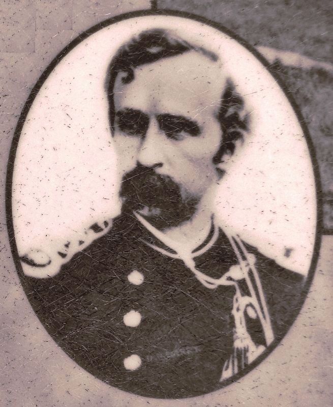
3. Marker detail: George A. Custer – Lt. Colonel, July, 1874
”The expedition has surpassed most sanguine expectations. We have discovered a rich and beautiful country.”
George A Custer was a Lieutenant Colonel during the expedition. However, during the Civil War, Custer rose to the rank of Brevet Major General.
George A Custer was a Lieutenant Colonel during the expedition. However, during the Civil War, Custer rose to the rank of Brevet Major General.
2. Its Equal I Have Never Seen: Custer Explores the Black Hills in 1874. The Black Hills expedition had been mounted in part at Custer's urging, believing that it would open a rich vein of wealth calculated to increase the commercial prosperity of this country. Since the end of the Civil War, Western interests had wanted the Hills opened to white settlement. Despite a treaty signed at Fort Laramie in 1868 granting the Sioux "absolute and undisturbed use and occupation" of the entire area, settler pressure continued to
build. In the end it was General Philip Sheridan, commander of the Division of the Missouri, who, in consultation with General Alfred Terry, commander of the Department of Dakota under him, approved a military reconnaissance of the Black Hills. (Submitted on August 10, 2018, by Cosmos Mariner of Cape Canaveral, Florida.)
Credits. This page was last revised on August 13, 2018. It was originally submitted on August 9, 2018, by Cosmos Mariner of Cape Canaveral, Florida. This page has been viewed 356 times since then and 35 times this year. Photos: 1, 2, 3, 4, 5, 6. submitted on August 10, 2018, by Cosmos Mariner of Cape Canaveral, Florida. • Andrew Ruppenstein was the editor who published this page.
