Pocahontas in Hinds County, Mississippi — The American South (East South Central)
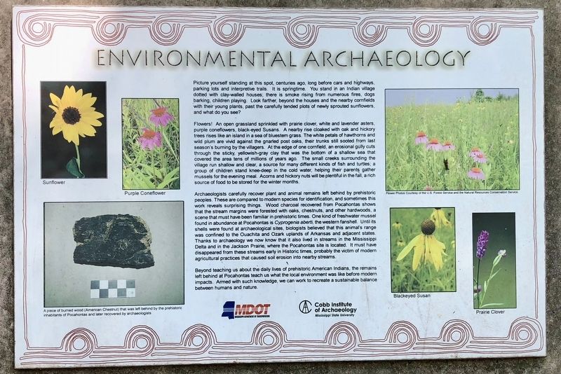
Environmental Archaeology
Flowers! An open grassland sprinkled with prairie clover, white and lavender asters purple coneflowers, black-eyed Susans. A nearby rise cloaked with oak and hickory trees rises like an island in a sea of bluestem grass. The white petals of hawthorns and wild plum are vivid against the gnarled post oaks, their trunks still sooted from last season's burning by the villagers. At the edge of one cornfield, an erosional gully cuts through the sticky, yellowish-gray clay that was the bottom of a shallow sea that covered the area tens of millions of years ago. The small creeks surrounding the village run shallow and clear, a source for many different kinds of fish and turtles; a group of children stand knee-deep in the cold water, helping their parents gather mussels for the evening meal. Acorns and hickory nuts will be plentiful in the fall, a rich source of food to be stored for the winter months.
Archaeologists carefully recover plant and animal remains left behind by prehistoric peoples. These are compared to modern species for identification, and sometimes this work reveals surprising things. Wood charcoal recovered from Pocahontas shows that the stream margins were forested with oaks, chestnuts, and other hardwoods, a scene that must have been familiar in prehistoric times. One kind of freshwater mussel found in abundance at Pocahontas is Cyprogenia aberti, the western fanshell. Until its shells were found at archaeological sites, biologists believed that this animal's range was confined to the Ouachita and Ozark uplands of Arkansas and adjacent states Thanks to archaeology we now know that it also lived in streams in the Mississippi Delta and in the Jackson Prairie, where the Pocahontas site is located. It must have disappeared from these streams early in Historic times, probably the victim of modern agricultural practices that caused soil erosion into nearby streams.
Beyond teaching us about the daily lives of prehistoric American Indians, the remains left behind at Pocahontas teach us what the local environment was like before modern impacts. Armed with such knowledge, we can work to recreate a sustainable balance between humans and nature.
Erected by
Mississippi Department of Transportation, Cobb Institute of Archaeology-Mississippi State University.
Topics. This historical marker is listed in these topic lists: Anthropology & Archaeology • Horticulture & Forestry • Native Americans.
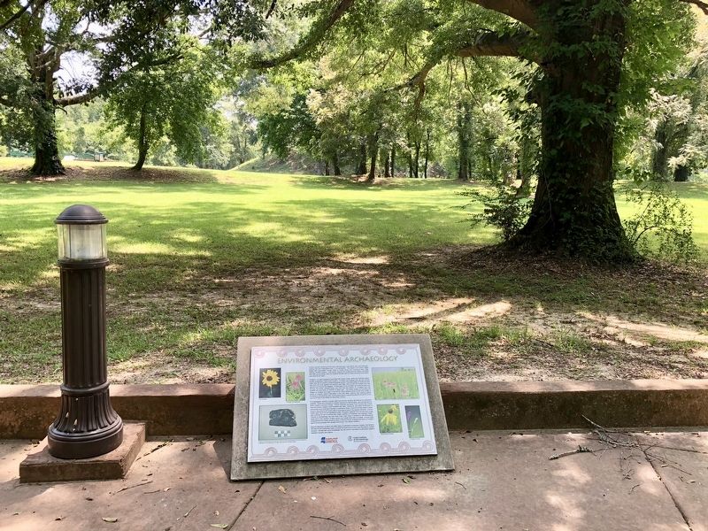
Location. 32° 28.238′ N, 90° 17.309′ W. Marker is in Pocahontas, Mississippi, in Hinds County. Marker can be reached from U.S. 49, 0.7 miles south of Kennebrew Road, in the median. Located at Pocahontas Mounds Roadside Park. Touch for map. Marker is in this post office area: Jackson MS 39209, United States of America. Touch for directions.
Other nearby markers. At least 8 other markers are within 6 miles of this marker, measured as the crow flies. Pocahontas Mounds (a few steps from this marker); The Evolution of the Pocahontas Site (within shouting distance of this marker); Midden: Sifting Through the Trash (about 300 feet away, measured in a direct line); Landscape Modification in Prehistoric Times (about 700 feet away); Ceremonial Mounds Of The Southeast (about 700 feet away); a different marker also named Pocahontas Mounds (approx. 0.2 miles away); Stone Fence Posts Mid-Western Kansas 1880’s (approx. 3.7 miles away); Osburn Stand (approx. 6 miles away). Touch for a list and map of all markers in Pocahontas.
Credits. This page was last revised on August 10, 2018. It was originally submitted on August 10, 2018, by Mark Hilton of Montgomery, Alabama. This page has been viewed 150 times since then and 11 times this year. Photos: 1, 2. submitted on August 10, 2018, by Mark Hilton of Montgomery, Alabama.

