La Cañada in El Marqués, Querétaro, Mexico — The Central Highlands (North America)
The "El Capulín" Reservoir
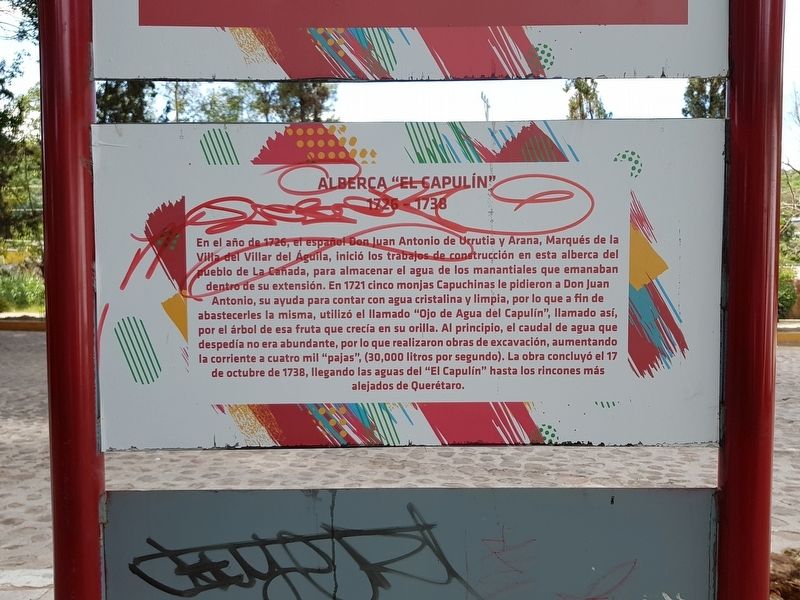
Alberca “El Capulín”
1726-1738
En el año de 1726, el español Don Juan Antonio de Urrutia y Arana, Marqués de la Villa del Villar del Águila, inició los trabajos de construcción en esta alberca del pueblo de La Cañada, para almacenar el agua de los manantiales que emanaban dentro de su extensión. En 1721 cinco monjas Capuchinas le pidieron a Don Juan Antonio, su ayuda para contar con agua cristalina y limpia, por lo que a fin de abastecerles la misma, utilizó el llamado "Ojo de Agua del Capulin", llamado así, por el árbol de esa fruta que crecía en su orilla. Al principio, el caudal de agua que despedía no era abundante, por lo que realizaron obras de excavación, aumentando la corriente a cuatro mil "pajas", (30,000 litros por segundo). La obra concluyó el 17 de octubre de 1738, llegando las aguas del "El Capulín" hasta los rincones más alejados de Querétaro.
The "El Capulín" Reservoir
1726-1738
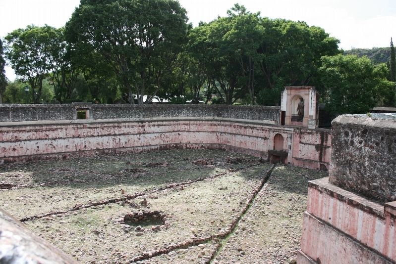
In 1726, the spaniard Juan Antonio de Urrutia y Arana, Marquis of the Villa del Villar del Águila, began construction on this reservoir in the town of La Cañada, to store the water from the springs that emanated within its territory. In 1721 five Capuchin nuns had asked Juan Antonio for his help to deliver clean water to their convent, so in order to supply them, he used the so-called "Spring of the Capulín", named for the fruit of the tree that grew nearby. At first the flow of water that was released was not abundant, so excavation works were carried out, increasing the flow to four thousand "pajas" (30,000 liters per second). The work concluded on October 17, 1738, with the waters of "El Capulín" reaching to the farthest corners of the city of Querétaro.
Topics. This historical marker is listed in these topic lists: Charity & Public Work • Colonial Era • Man-Made Features. A significant historical date for this entry is October 17, 1738.
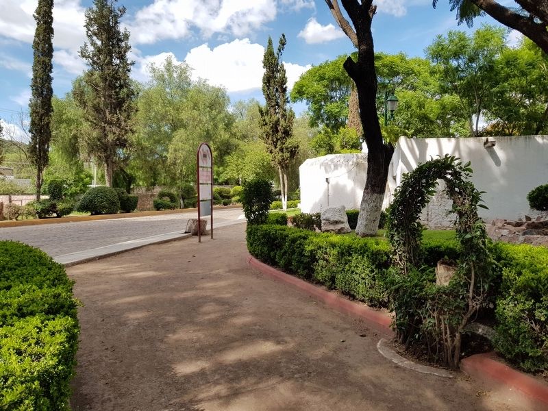
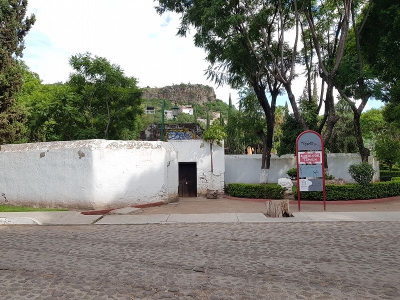
Location. 20° 36.803′ N, 100° 19.439′ W. Marker is in La Cañada, Querétaro, in El Marqués. Marker is on Calle del Marqués just east of Calle El Pinito, on the right when traveling east. Touch for map. Marker is in this post office area: La Cañada QUE 76240, Mexico. Touch for directions.
Other nearby markers. At least 8 other markers are within 3 kilometers of this marker, measured as the crow flies. The Escandón Bathing Pools (approx. one kilometer away); The Small Church (approx. one kilometer away); El Marqués Cultural Center (approx. one kilometer away); The Bicentennial of Mexican Independence (approx. 1.1 kilometers away);
The Temple of San Pedro (approx. 1.1 kilometers away); La Cañada (approx. 1.1 kilometers away); The Foundation of La Cañada (approx. 1.1 kilometers away); Pan Dulce Monument (approx. 2.4 kilometers away). Touch for a list and map of all markers in La Cañada.
Photographed By J. Makali Bruton, August 2, 2018
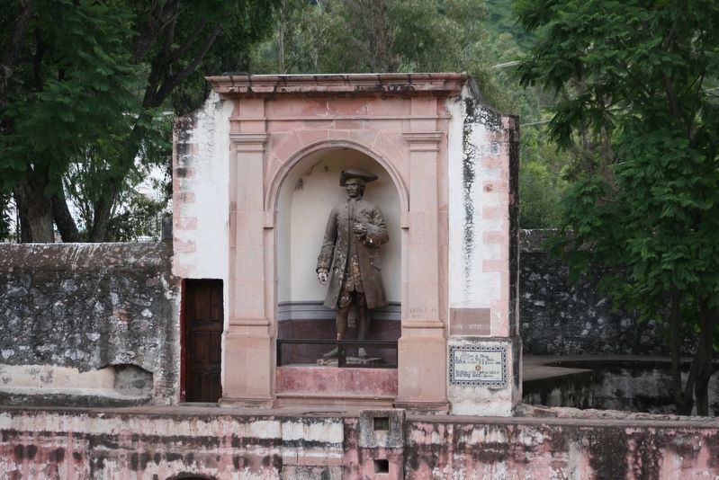
5. The statue of Juan Antonio de Urrutia y Arana at the "El Capulín" Reservoir
The statue is the work of J.J. Espinosa from 1892. To the lower right are two additional markers. The upper marker is the original 1894 dedicatory marker for the statue. The lower marker is from a Rotary Club 1947 restoration.
Photographed By J. Makali Bruton, August 2, 2018
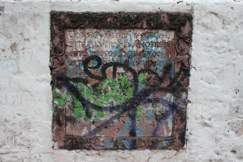
6. The original dedicatory marker for the "El Capulín" Reservoir
This dedicatory marker is on the southwest corner of the reservoir and includes the year 1728.
Consigviose la fabrica d[e]
esta Alverca el año d[e] mil
setecientos y veinte y ocho
Reynand N. Cathol.o Monarc.a
d Phelip: V. (qe Dios G.e) Goven° est[a]
Nva Espa el Exmo Marqs d[e] Cassa-fv[e]rte
Cav.o del ord[e]n d[e] s. Tiag.o a expensas
d[e] lo q co[n]tribuyeron los moradores
d[e] Muy Noble Ciud.d de Santiago d[e] Qveretaro.
Text from "Epigrafía Queretana" by Valentín Frias
Credits. This page was last revised on August 11, 2018. It was originally submitted on August 10, 2018, by J. Makali Bruton of Accra, Ghana. This page has been viewed 204 times since then and 25 times this year. Photos: 1, 2, 3. submitted on August 10, 2018, by J. Makali Bruton of Accra, Ghana. 4, 5, 6. submitted on August 11, 2018, by J. Makali Bruton of Accra, Ghana.
