Edwards AFB in Kern County, California — The American West (Pacific Coastal)
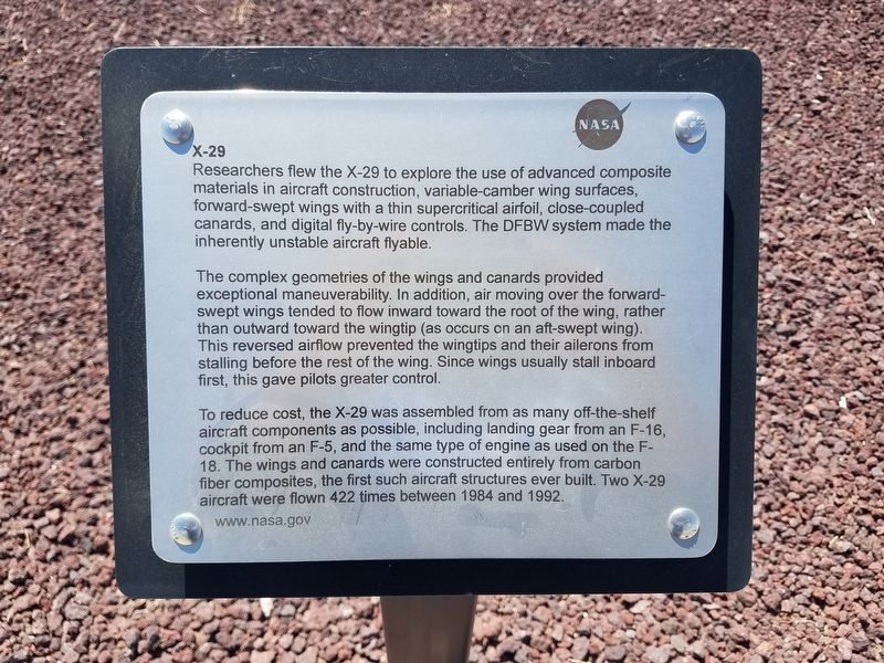
X-29
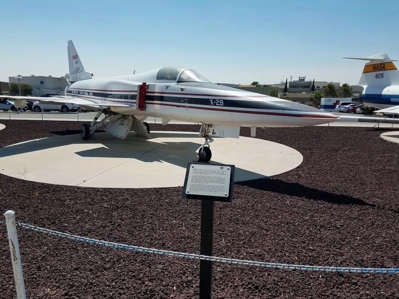
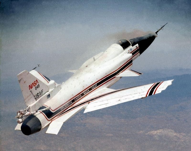
The complex geometries of the wings and canards provided exceptional maneuverability. In addition, air moving over the forward swept wings tended to flow inward toward the root of the wing, rather than outward toward the wingtip (as occurs on an aft-swept wing). This reversed airflow prevented the wingtips and their ailerons from stalling before the rest of the wing. Since wings usually stall inboard first, this gave pilots greater control.
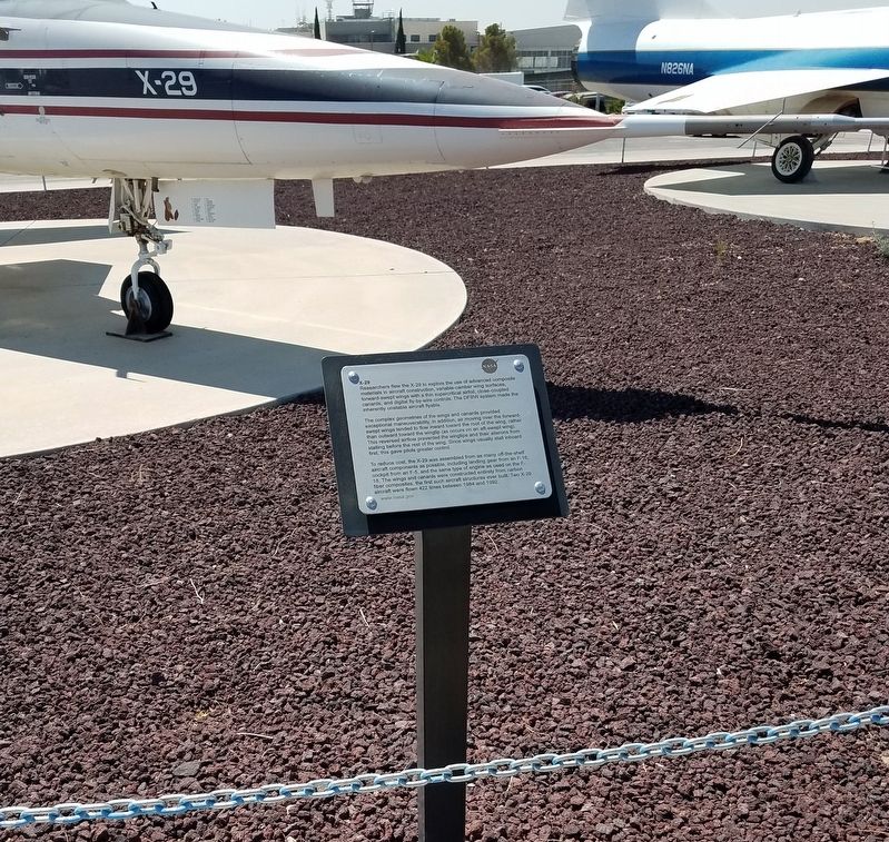
To reduce cost, the X-29 was assembled from as many off-the-shelf aircraft components as possible, including landing gear from an F-16 cockpit from an F-5, and the same type of engine as used on the F-18. The wings and canards were constructed entirely from carbon fiber composites, the first such aircraft structures ever built. Two X-29 aircraft were flown 422 times between 1984 and 1992.
Erected by NASA Neil A. Armstrong Flight Research Center.
Topics. This historical marker is listed in this topic list: Air & Space. A significant historical year for this entry is 1984.
Location. 34° 57.126′ N, 117° 53.324′ W. Marker is in Edwards AFB, California, in Kern County. Marker is at the intersection of Lilly Avenue and Walker Avenue, on the left when traveling south on Lilly Avenue. Located in front the Armstrong Flight Research Center. Edwards Air Force Base is not open to the public. Touch for map. Marker is at or near this postal address: 4800 Lilly Avenue, Edwards CA 93523, United States of America. Touch for directions.
Other nearby markers. At least 8 other markers are within walking distance of this marker. Lockheed F-104 (a few steps from this marker); F-8 DFBW (a few steps from this marker); F-8 Digital Fly-By-Wire Aircraft (a few steps from this marker); Lockheed SR-71A Blackbird (within shouting distance of this marker); F-8 Supercritical Wing Aircraft (within shouting distance of this marker); NF-15B (within shouting distance of this marker); HL-10 Lifting Body (about 300 feet away, measured in a direct line); HiMAT (about 400 feet away). Touch for a list and map of all markers in Edwards AFB.
Credits. This page was last revised on September 27, 2023. It was originally submitted on August 11, 2018, by Denise Boose of Tehachapi, California. This page has been viewed 218 times since then and 22 times this year. Last updated on January 6, 2019, by Craig Baker of Sylmar, California. Photos: 1, 2, 3, 4. submitted on August 11, 2018, by Denise Boose of Tehachapi, California. • Andrew Ruppenstein was the editor who published this page.


