Sturbridge in Worcester County, Massachusetts — The American Northeast (New England)
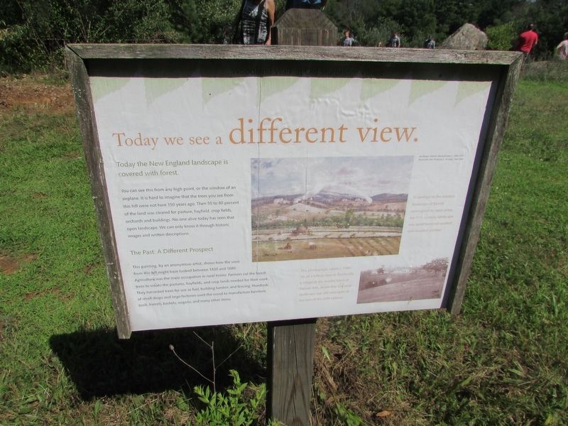
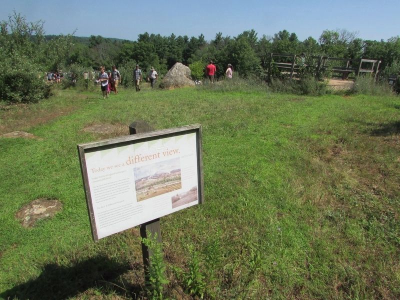
Today we see a different view.
Today the New England landscape is covered with forest.
You can see this from any high point, or the window of an airplane. It is hard to imagine that the trees you see from this hill were not here 150 years ago. Then 50 to 80 percent of the land was cleared for pasture, hayfield, crop fields, orchards and buildings. No one alive today has seen that open landscape. We can only know it through historic images and written descriptions.
The Past: A Different Prospect
This painting, by an anonymous artist, shows how the view from this hill might have looked between 1830 and 1880. Agriculture was the main occupation in rural towns. Farmers cut the forest trees to create the pastures, hayfields, and crop lands needed for their work. They harvested trees for use as fuel, building lumber, and fencing. Hundreds of small shops and large factories used the wood to manufacture furniture, tools, barrels, baskets, wagons, and many other items.
Topics. This historical marker is listed in this topic list: Natural Features.
Location. 42° 6.292′ N, 72° 5.931′ W. Marker is in Sturbridge, Massachusetts, in Worcester County. Marker is on Old Sturbridge Village Road. Touch for map. Marker is at or near this postal address: 1 Old Sturbridge Village Road, Sturbridge MA 01566, United States of America. Touch for directions.
Other nearby markers. At least 8 other markers are within walking distance of this marker. Brooks Pottery Kiln (about 400 feet away, measured in a direct line); An Open Landscape (about 400 feet away); Controlling Livestock: The Town Pound (about 500 feet away); The Graveyard (about 500 feet away); Welcome to the Pasture Walk (about 700 feet away); Farming as a Way of Life (about 700 feet away); The Smokehouse (about 700 feet away); The Fire Pit (about 700 feet away). Touch for a list and map of all markers in Sturbridge.
More about this marker. The painting Landscape Auburn, Massachusetts c. 1860-1870 appears in the center of the marker. It has a caption of “In contrast to the modern landscape of forests interrupted by open areas, the 19th century landscape was open farmland spotted with wooded patches.”
A picture under this includes a caption of “This photograph, taken c.1900-10, of a hilltop view in Bondsville, a village in the nearby town of Palmer, MA, shows that the rural landscape was still very open at the turn of the 20th century.
Credits. This page was last revised on August 11, 2018. It was originally submitted on August 11, 2018, by Bill Coughlin of Woodland Park, New Jersey. This page has been viewed 124 times since then and 8 times this year. Photos: 1, 2, 3. submitted on August 11, 2018, by Bill Coughlin of Woodland Park, New Jersey.


