Henderson in Henderson County, Kentucky — The American South (East South Central)
The 1937 Flood
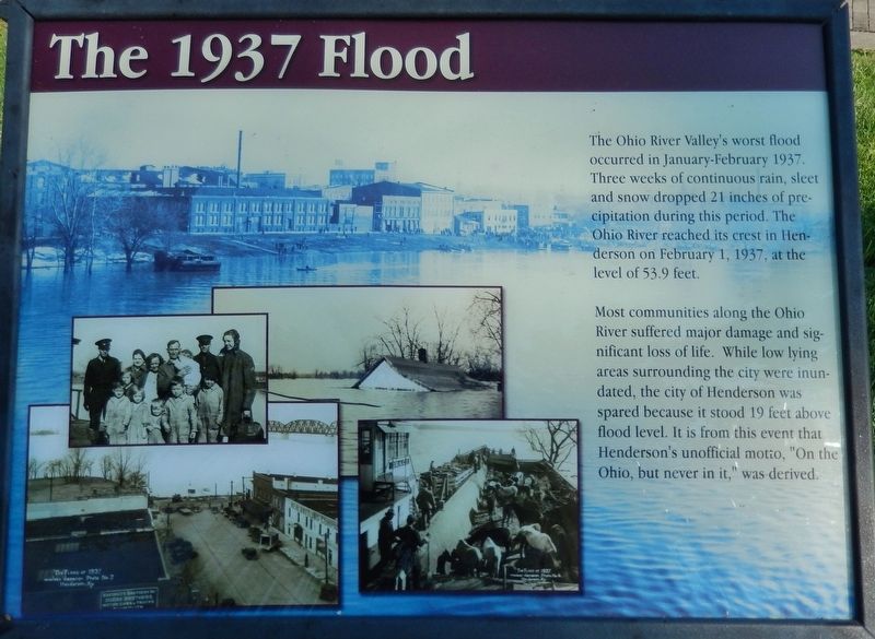
The Ohio River Valley's worst flood occurred in January-February 1937. Three weeks of continuous rain, sleet and snow dropped 21 inches of precipitation during this period. The Ohio River reached its crest in Henderson on February 1, 1937, at the level of 53.9 feet.
Most communities along the Ohio River suffered major damage and significant loss of life. While low lying areas surrounding the city were inundated, the city of Henderson was spared because it stood 19 feet above flood level. It is from this event that Henderson's unofficial motto, "On the Ohio, but never in it," was derived.
Topics. This historical marker is listed in these topic lists: Disasters • Waterways & Vessels. A significant historical date for this entry is February 1, 1937.
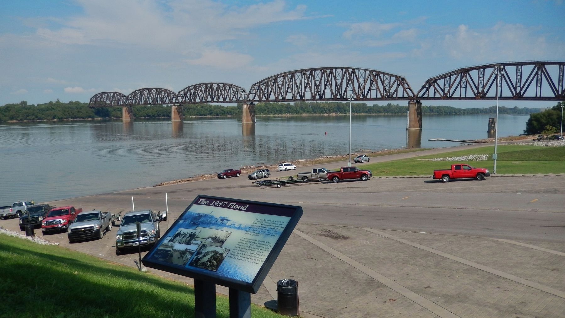
Location. 37° 50.478′ N, 87° 35.622′ W. Marker is in Henderson, Kentucky, in Henderson County. Marker can be reached from North Water Street south of 2nd Street, on the left when traveling north. Marker is located along the pedestrian walkway in Audubon Mill Park, near the north end of the park, overlooking the boat launch ramp and the Ohio River. Touch for map. Marker is at or near this postal address: 101 North Water Street, Henderson KY 42420, United States of America. Touch for directions.
Other nearby markers. At least 8 other markers are within walking distance of this marker. The Ohio River (a few steps from this marker); Audubon's Mill (within shouting distance of this marker); Good Government League (within shouting distance of this marker); Steamboats (within shouting distance of this marker); Audubon Saw and Grist Mill (within shouting distance of this marker); General "Stovepipe" Johnson (within shouting distance of this marker); Husband Edward Kimmel (within shouting distance of this marker); Admiral Husband Edward Kimmel (within shouting distance of this marker). Touch for a list and map of all markers in Henderson.
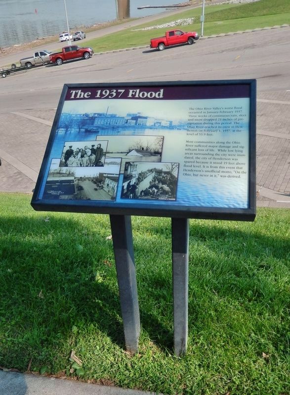
More about this marker. Marker is a large composite plaque, mounted horizontally on waist-high posts.
Also see . . .
1. Ohio River Flood of 1937. Ohio History Central website entry:
In 1937, the Ohio River had one of the worst floods in its history. Communities along the Ohio River in Ohio, Kentucky, Indiana, and Illinois faced serious problems. As the flood waters rose, gas tanks exploded and oil fires erupted on the river. Many people lost their homes as a result of the flood. The Ohio River Flood of 1937 caused more than twenty million dollars in damages. (Submitted on August 14, 2018, by Cosmos Mariner of Cape Canaveral, Florida.)
2. The Great Ohio, Mississippi River Valley Flood of 1937. U.S. Coast Guard History Program PDF:
At the direction of President Franklin D. Roosevelt and Secretary of the Treasury Henry Morgenthau, the United States Coast Guard mounted the largest relief expedition in the history of the service. Rescue operations extended from January 19 through March 11 and involved 351 boats of all types. In addition, 24 cutters, ranging from 75-foot “Six-Bitters” to 165-foot patrol boats, were sent to assist in saving life and property. (Submitted on August 14, 2018, by Cosmos Mariner of Cape Canaveral, Florida.)
3. 1937 Flood, Henderson County, Kentucky. Henderson County, Kentucky website entry:
Looking back, some scientists have said the rain that fell almost every day of that month was the result of a North Atlantic "dead calm" that had flowed into the U.S. interior. Whatever the reason, by January 31 the Ohio reached the gauge of 53.909 feet - nearly 19 feet above flood stage. The previous high had been 48.2 feet in 1913. It would give the city of Henderson a claim to fame. As radio broadcaster Walter WINCHELL told the nation on February 2, 1937, only one city along the flooded length of the Ohio Valley had managed to sit high and dry during the worst of the watery onslaught, and that was Henderson. (Submitted on August 14, 2018, by Cosmos Mariner of Cape Canaveral, Florida.)
Credits. This page was last revised on January 5, 2022. It was originally submitted on August 14, 2018, by Cosmos Mariner of Cape Canaveral, Florida. This page has been viewed 419 times since then and 63 times this year. Photos: 1, 2, 3. submitted on August 14, 2018, by Cosmos Mariner of Cape Canaveral, Florida. • Andrew Ruppenstein was the editor who published this page.


