Lynch in Harlan County, Kentucky — The American South (East South Central)
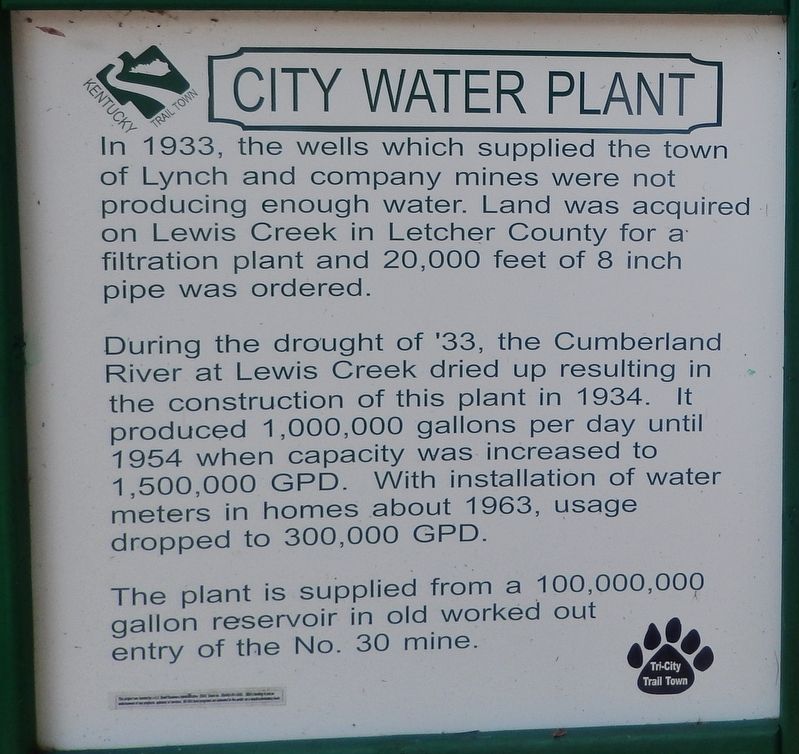
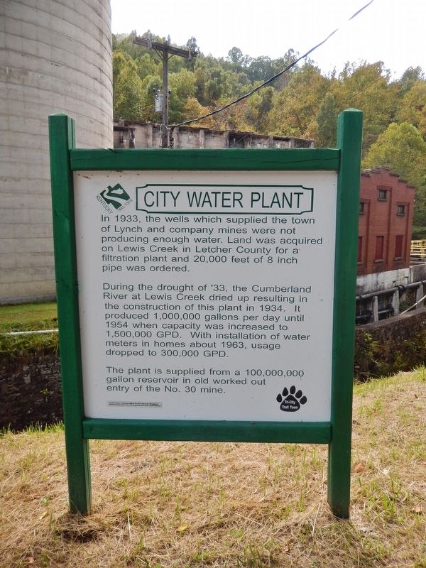
City Water Plant
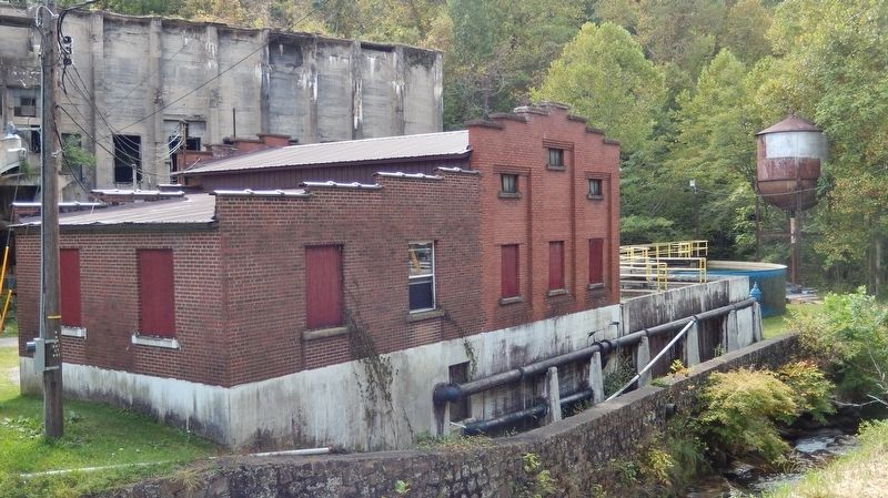
During the drought of '33, the Cumberland River at Lewis Creek dried up resulting in the construction of this plant in 1934. It produced 1,000,000 gallons per day until 1954 when capacity was increased to 1,500,000 GPD. With installation of water meters in homes about 1963, usage dropped to 300,000 GPD.
The plant is supplied from a 100,000,000 gallon reservoir in old worked out entry of the No. 30 mine.
Topics. This historical marker is listed in this topic list: Industry & Commerce. A significant historical year for this entry is 1934.
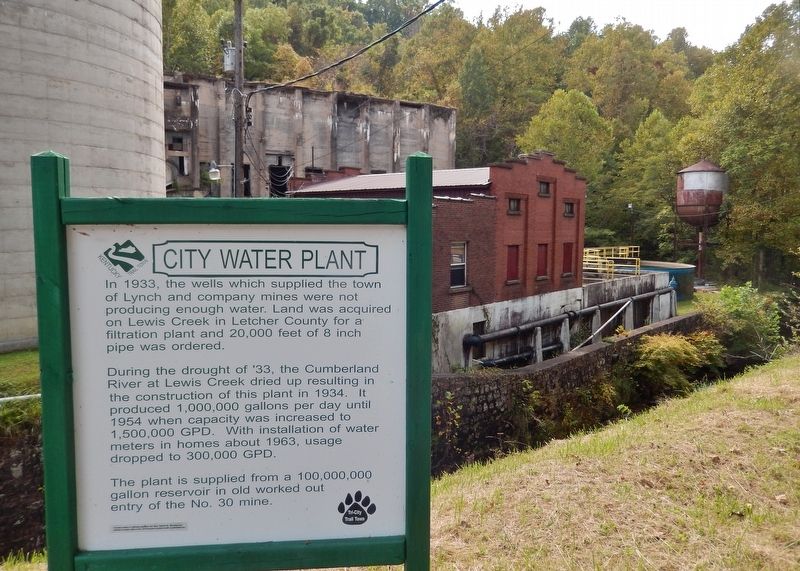
Location. 36° 57.948′ N, 82° 55.194′ W. Marker is in Lynch, Kentucky, in Harlan County. Marker is on West Main Street (Kentucky Route 160) west of Church Street, on the left when traveling west. Marker is located on the Portal 31 Exhibition Mine grounds, on the south side of Main Street, directly in front of the tall concrete silo. Touch for map. Marker is at or near this postal address: 1 Portal 31 Circle, Lynch KY 40855, United States of America. Touch for directions.
Other nearby markers. At least 8 other markers are within walking distance of this marker. Coal Tipple (here, next to this marker); Power House (within shouting distance of this marker); Winifrede Mine Conveyor (about 400 feet away, measured in a direct line); History of Lynch (about 400 feet away); No. 31 Mine Shop (about 400 feet away); Restaurant Building (about 500 feet away); Mine Ventilating Fan (about 500 feet away); Lamp House No. 2 (about 600 feet away). Touch for a list and map of all markers in Lynch.
More about this marker. This is a large, painted metal, "billboard-style" marker.
Related markers. Click here for a list of markers that are related to this marker. Portal 31 Exhibition Mine, Lynch, Kentucky
Credits. This page was last revised on August 17, 2018. It was originally submitted on August 14, 2018, by Cosmos Mariner of Cape Canaveral, Florida. This page has been viewed 128 times since then and 12 times this year. Photos: 1, 2, 3, 4. submitted on August 17, 2018, by Cosmos Mariner of Cape Canaveral, Florida. • Andrew Ruppenstein was the editor who published this page.


