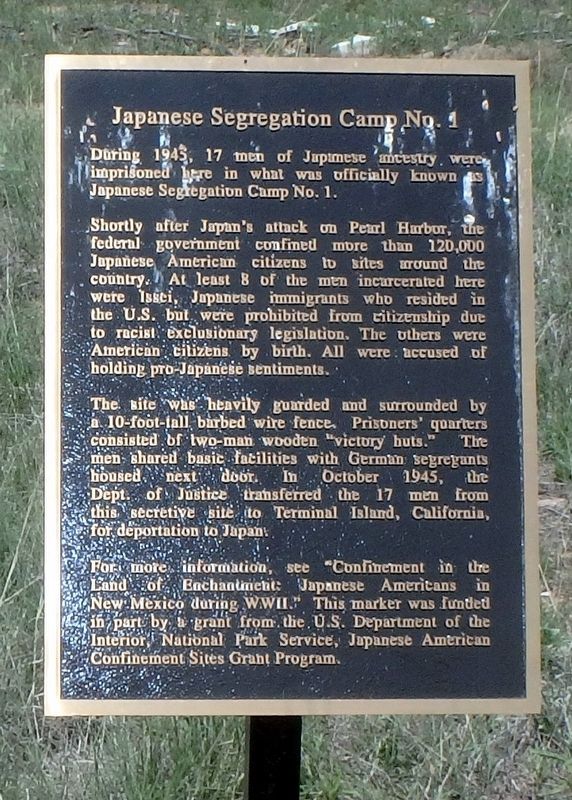
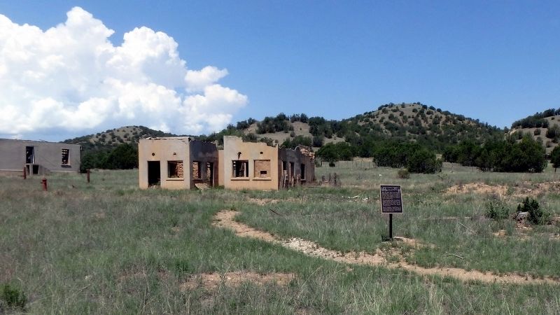
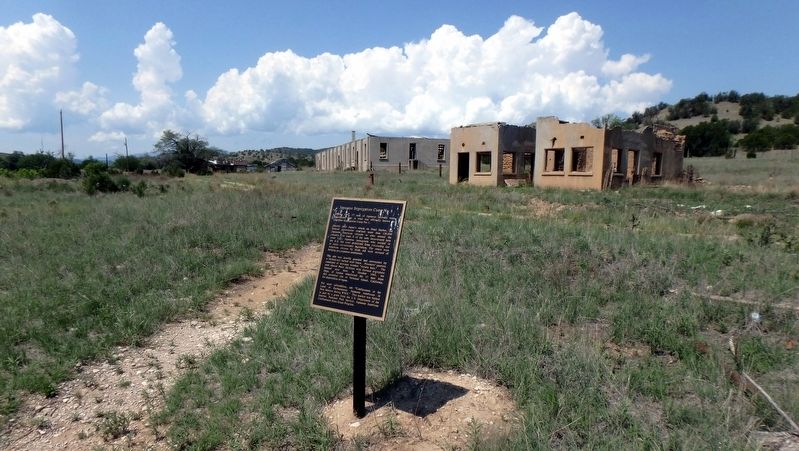
Japanese Segregation Camp No. 1
Shortly after Japan’s attack on Pearl Harbor, the federal government confined more than 120,000 Japanese American citizens to sites around the country. At least 8 of the men incarcerated here were Issei, Japanese immigrants who resided in the U.S. but were prohibited from citizenship due to racist exclusionary legislation. The others were American citizens by birth. All were accused of holding pro-Japanese sentiments.
The site was heavily guarded and surrounded by a 10-foot-tall barbed wire fence. Prisoner quarters consisted of two-man wooden “victory huts.” The men shared basic facilities with German segregants housed next door. In October 1945, the Dept. of Justice transferred the 17 men from this secretive site to Terminal Island, California, for deportation to Japan.
For more information, see “Confinement in the Land of Enchantment: Japanese Americans in New Mexico during WWII.” This marker was funded in part by a grant by the U.S. Department of the Interior, National Park Service, Japanese American Confinement Sites Grant Program.
Erected 2017.
Topics. This historical marker is listed in these topic lists: Asian Americans
Location. 33° 29.849′ N, 105° 31.678′ W. Marker is in Fort Stanton, New Mexico, in Lincoln County. Marker is accessible by footpath from the Fort Stanton Post Office. Touch for map. Marker is in this post office area: Fort Stanton NM 88323, United States of America. Touch for directions.
Other nearby markers. At least 8 other markers are within walking distance of this marker. Chapel (about 800 feet away, measured in a direct line); CCC Camp/German Internment Camp (approx. 0.2 miles away); Officer's Quarters (approx. 0.2 miles away); Commanding Officer's Quarters (approx. 0.2 miles away); a different marker also named Officer’s Quarters (approx. 0.2 miles away); Fort Stanton (approx. 0.2 miles away); New Hospital (approx. 0.2 miles away); a different marker also named Fort Stanton (approx. 0.2 miles away). Touch for a list and map of all markers in Fort Stanton.
Credits. This page was last revised on August 17, 2018. It was originally submitted on August 16, 2018, by William F Haenn of Fort Clark (Brackettville), Texas. This page has been viewed 259 times since then and 17 times this year. Photos: 1, 2, 3. submitted on August 16, 2018, by William F Haenn of Fort Clark (Brackettville), Texas. • Andrew Ruppenstein was the editor who published this page.


