New Haven in Nelson County, Kentucky — The American South (East South Central)
Fight at New Haven
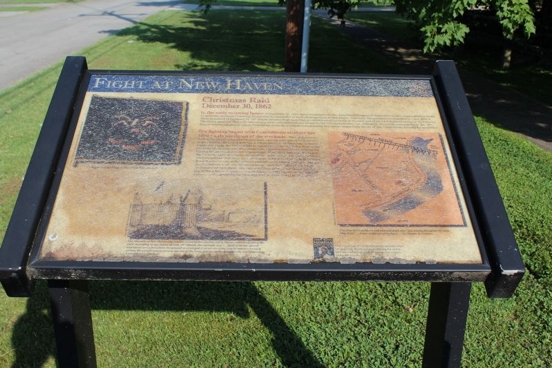
Christmas Raid
— December 30, 1862 —
The fighting began with Confederate artillery fire 1000 yards northeast of the stockade. The Confederates shelled the Union troops for over an hour moving their gun several times to get closer to the Union defenders. When the Confederates had closed to within 800 yards, the Union soldiers opened fire. The Union fire drew in the Confederate cavalrymen, they dismounted leaving their horses behind the Howell House, deployed and returned fire. After thirty minutes, the heavy fire from the Federal infantry drove off the main attack. The Confederates tried once more this time they attempted to flank the stockade by coming down the north side of the railroad embankment, Union fire again drove the Confederates off. The Southern troops withdrew taking their dead and wounded with them. The Union soldiers suffered no casualties, but the artillery fire damaged several buildings in New Haven, including both taverns. Confederate losses were reported as 2 killed and 10 wounded.
(captions)
The stockade at New Haven was similar to stockades constructed by Union soldiers all along the L&N. According to Sgt. James McNeil, 78th Illinois, the stockade was “…built of timber on end and about seven feet above the ground so arranged as to set our tents, four in number, on each corner; the corners made a circular the size of the tents, sixteen feet in diameter, the whole forming a square forty-five feet.”
The area of the stockade and railroad track near New Haven, December 30, 1862. Map from “…A Very Good Camping Place…” by Charles R. Lemons.
Erected by Kentucky Heartland Civil War Trails Commission. (Marker Number 17a.)
Topics and series. This historical marker is listed in this topic list: War, US Civil. In addition, it is included in the John Hunt Morgan Heritage Trail in Kentucky series list. A significant historical date for this entry is December 30, 1862.
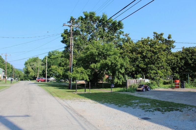
Location. 37° 39.523′ N, 85° 35.632′ W. Marker is unreadable. Marker is in New Haven, Kentucky, in Nelson County. Marker is on West Center Street west of North Main Street (U.S. 31E), on the right when traveling west. Touch for map. Marker is at or near this postal address: 278 W Center St, New Haven KY 40051, United States of America. Touch for directions.
Other nearby markers. At least 8 other markers are within 4 miles of this location, measured as the crow flies. Abraham Lincoln's First School (approx. 2.1 miles away); Goodwin (Goodin) Fort (approx. 3.1 miles away); The Lincolns at Knob Creek (approx. 4.1 miles away); Lincoln Knob Creek Farm (approx. 4.1 miles away); Living Off the Land (approx. 4.1 miles away); a different marker also named Lincoln Knob Creek Farm (approx. 4.1 miles away); Abraham Lincoln's memory of Knob Creek Farm (approx. 4.1 miles away); The Lincoln Tavern (approx. 4.1 miles away).
Credits. This page was last revised on November 27, 2023. It was originally submitted on August 17, 2018, by Tom Bosse of Jefferson City, Tennessee. This page has been viewed 644 times since then and 94 times this year. Last updated on November 24, 2023, by Darryl R Smith of Cincinnati, Ohio. Photos: 1, 2, 3. submitted on August 17, 2018, by Tom Bosse of Jefferson City, Tennessee. • Bernard Fisher was the editor who published this page.


