Near Lewistown in Logan County, Ohio — The American Midwest (Great Lakes)
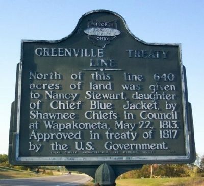
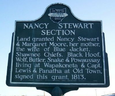
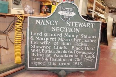
Greenville Treaty Line / Nancy Stewart Section
Erected 1949 by Logan County Archaeological and Historical Society.
Topics. This historical marker is listed in these topic lists: Native Americans • Settlements & Settlers • Women. A significant historical date for this entry is May 22, 1829.
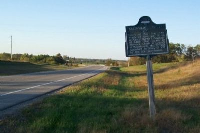
Location. Marker has been reported missing. It was located near 40° 24.099′ N, 83° 54.346′ W. Marker was near Lewistown, Ohio, in Logan County. Marker was at the intersection of Ohio Route 235 and Local Road 215, on the right when traveling north on State Route 235. Touch for map. Marker was in this post office area: Lewistown OH 43333, United States of America. Touch for directions.
Other nearby markers. At least 8 other markers are within 5 miles of this location, measured as the crow flies. McColly Covered Bridge - 1876 (approx. one mile away); 1882 Whipple Through Truss Bridge (approx. 3.9 miles away); Seneca Council House / Indian Reservation (approx. 4 miles away); Vance Blockhouse (approx. 4 miles away); St. Mary of the Woods Veterans Memorial (approx. 4.6 miles away); Indian Lake Veterans Memorial (approx. 4.6 miles away); Indian Lake State Park (approx. 4.9 miles away); Indian Lake Spillway (approx. 4.9 miles away).
Also see . . . Ohio Lands and Their Subdivision. This book, written and published by William Edwards Peters in 1918, includes a map of the Greenville Treaty Line and Nancy Stewart Section. (Submitted on October 9, 2008.)
Additional commentary.
1. Greenville Treaty Line / Nancy Stewart Section Marker
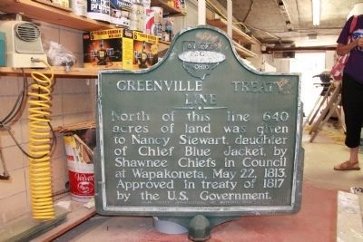
On August 3, 2012, while visiting the Logan County Historical Museum in Bellefontaine, Ohio, I was surprised to learn that the Greenville Treaty Line / Nancy Stewart Section Marker had been damaged and was no longer on display at its original historic site. Instead I learned that it is currently in storage in the basement of the Logan County Historical Museum, awaiting repairs and eventual remounting.
— Submitted August 24, 2012, by Dale K. Benington of Toledo, Ohio.
Credits. This page was last revised on December 2, 2019. It was originally submitted on October 7, 2008, by William Fischer, Jr. of Scranton, Pennsylvania. This page has been viewed 4,089 times since then and 44 times this year. Photos: 1, 2, 3. submitted on October 7, 2008, by William Fischer, Jr. of Scranton, Pennsylvania. 4, 5. submitted on August 24, 2012, by Dale K. Benington of Toledo, Ohio. • Kevin W. was the editor who published this page.
