Harrisburg in Dauphin County, Pennsylvania — The American Northeast (Mid-Atlantic)
John Harris, Sr.
The Harris Family and the New Settlement
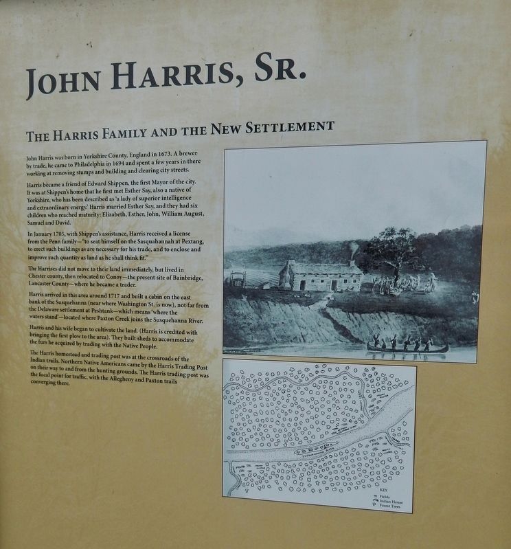
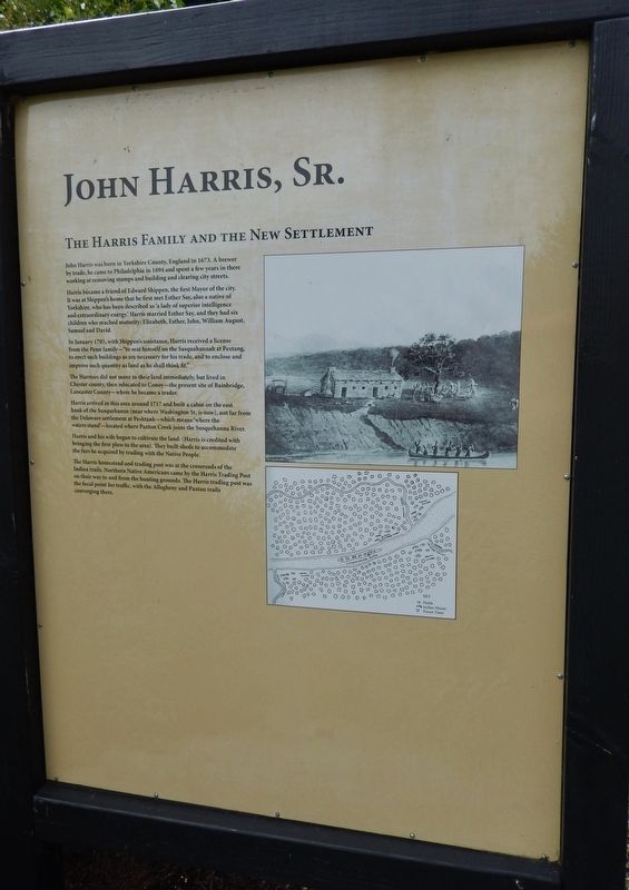
Harris became a friend of Edward Shippen, the first Mayor of the city. It was at Shippen's home that he first met Esther Say, also a native of Yorkshire, who has been described as “a lady of superior intelligence and extraordinary energy.” Harris married Esther Say, and they had six children who reached maturity: Elizabeth, Esther, John, William August, Samuel and David.
In January 1705, with Shippen's assistance, Harris received a license from the Penn family - "to seat himself on the Sasquahannah at Pextang, to erect such buildings as are necessary for his trade, and to enclose and improve such quantity as land as he shall think fit."
The Harrises did not move to their land immediately, but lived in Chester county, then relocated to Conoy - the present site of Bainbridge, Lancaster County - where he became a trader.
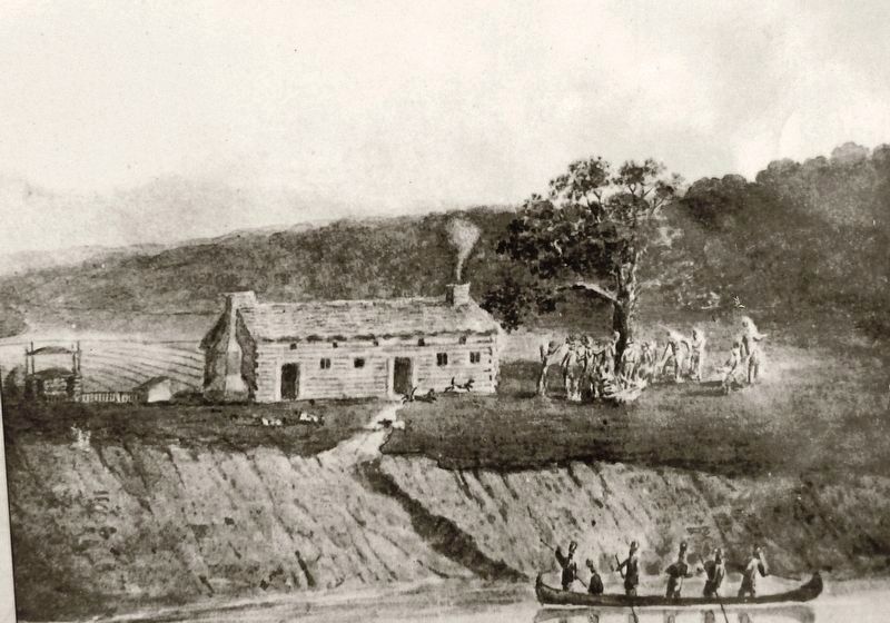
Harris arrived in this area around 1717 and built a cabin on the east bank of the Susquehanna (near where Washington St. is now), not far from the Delaware settlement at Peshtank - which means “where the waters stand” - located where Paxton Creek joins the Susquehanna River.
Harris and his wife began to cultivate the land. (Harris is credited with bringing the first plow to the area). They built sheds to accommodate the furs he acquired by trading with the Native People. The Harris homestead and trading post was at the crossroads of the Indian trails. Northern Native Americans came by the Harris Trading Post on their way to and from the hunting grounds. The Harris trading post was the focal point for traffic, with the Allegheny and Paxton trails converging there.
Topics. This historical marker is listed in these topic lists: Colonial Era • Native Americans • Settlements & Settlers. A significant historical month for this entry is January 1705.
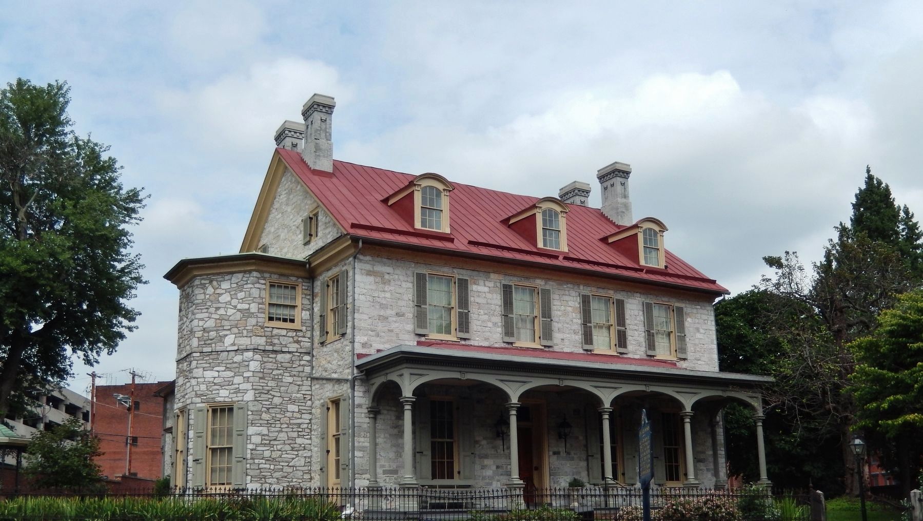
Location. 40° 15.398′ N, 76° 52.734′ W. Marker is in Harrisburg, Pennsylvania, in Dauphin County. Marker can be reached from the intersection of South Front Street and Mary Street, on the left when traveling south. Marker is located on the grounds of the John Harris Mansion, on the north side of the mansion. Touch for map. Marker is at or near this postal address: 219 South Front Street, Harrisburg PA 17104, United States of America. Touch for directions.
Other nearby markers. At least 8 other markers are within walking distance of this marker. Native Nations of the Susquehanna Valley (here, next to this marker); a different marker also named Native Nations of the Susquehanna Valley (here, next to this marker); John Harris, Sr., and the Mulberry Tree (here, next to this marker); The Court House Bell (a few steps from this marker); John Harris Mansion (a few steps from this marker); Harrisburg's Grand Review of Black Troops (a few steps from this marker); a different marker also named John Harris Mansion (within shouting distance of this marker); In Memory of John Harris (within shouting distance of this marker). Touch for a list and map of all markers in Harrisburg.
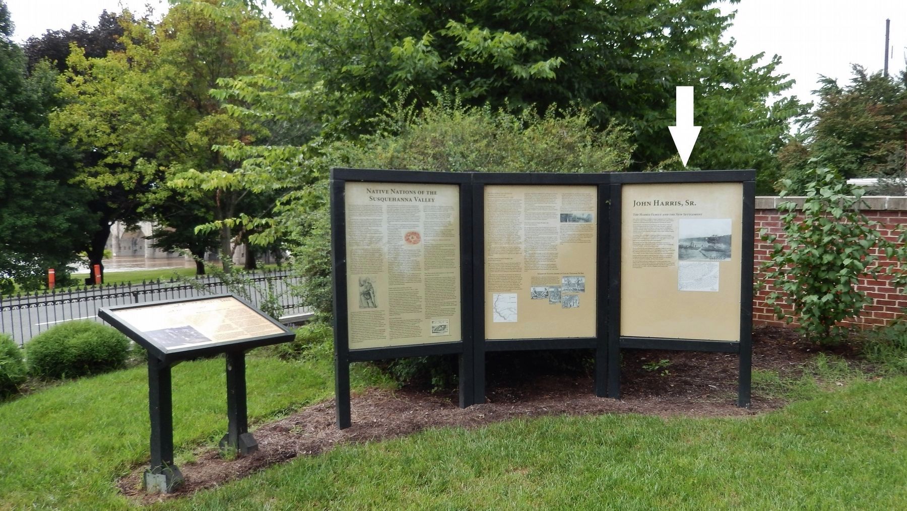
More about this marker. This is the right-most panel of a three-panel kiosk. There are related, but different marker panels to the left of this one.
Credits. This page was last revised on August 25, 2018. It was originally submitted on August 18, 2018, by Cosmos Mariner of Cape Canaveral, Florida. This page has been viewed 437 times since then and 43 times this year. Photos: 1, 2, 3, 4, 5. submitted on August 21, 2018, by Cosmos Mariner of Cape Canaveral, Florida. • Andrew Ruppenstein was the editor who published this page.
