Center City in Toledo in Lucas County, Ohio — The American Midwest (Great Lakes)
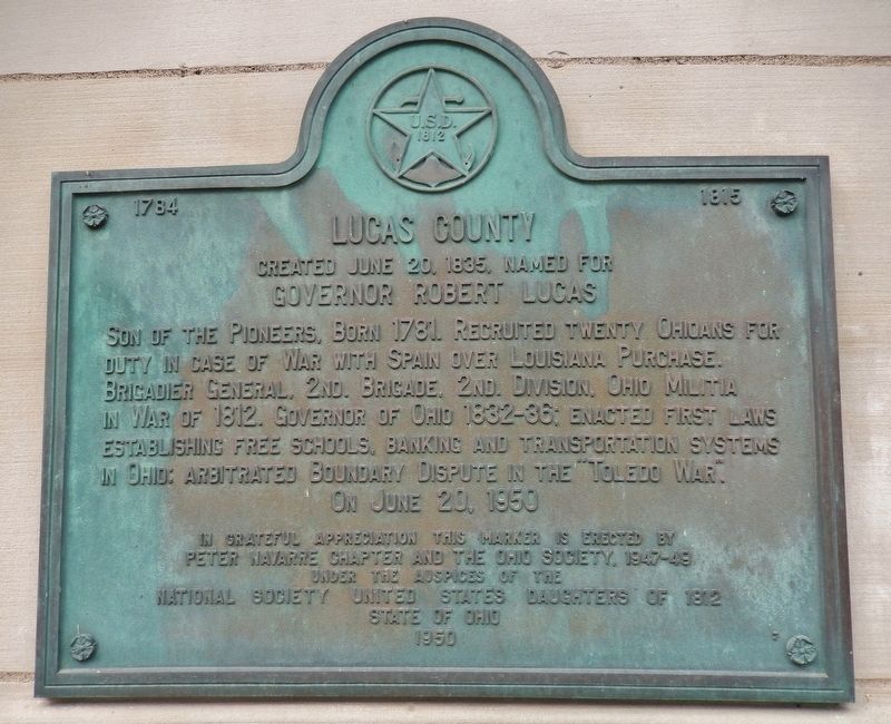
Lucas County
Created June 20, 1835
— Named for Governor Robert Lucas —
Son of the Pioneers, born 1781. Recruited twenty Ohioans for duty in case of war with Spain over Louisiana Purchase. Brigadier General, 2nd. Brigade, 2nd. Division, Ohio Militia in War of 1812. Governor of Ohio 1832-36; enacted first laws establishing free schools, banking and transportation systems in Ohio; arbitrated Boundary Dispute in the “Toledo War.”
in grateful appreciation this marker is erected by
Peter Navarre Chapter and the Ohio Society, 1947-49
under the auspices of the
National Society United States Daughters of 1812
State of Ohio
1950
Erected 1950 by Peter Navarre Chapter and the Ohio Society, National Society United States Daughters of 1812, State of Ohio.
Topics and series. This historical marker is listed in this topic list: War of 1812. In addition, it is included in the United States Daughters of 1812, National Society series list. A significant historical date for this entry is June 20, 1835.
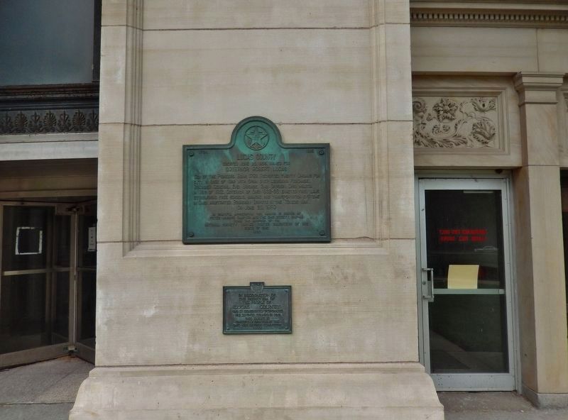
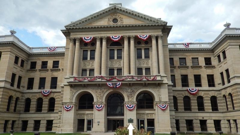
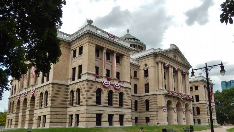
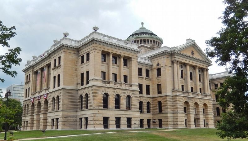
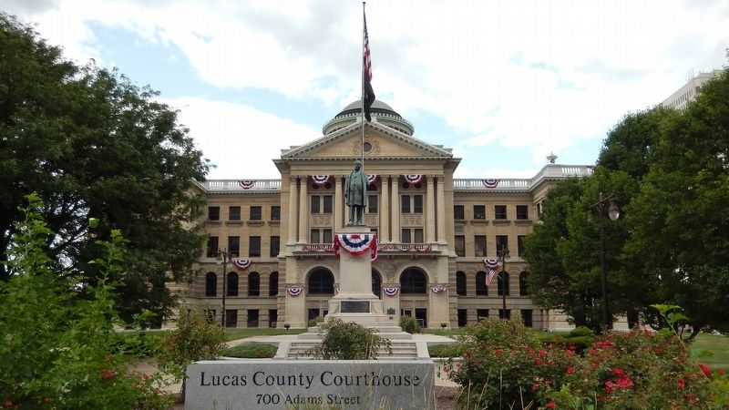
Location. 41° 39.307′ N, 83° 32.234′ W. Marker is in Toledo, Ohio, in Lucas County. It is in Center City. Marker can be reached from Adams Street east of North Michigan Street (Ohio Route 25), on the left when traveling east. Marker is a large metal plaque, mounted at eye-level, directly on the right-hand pillar at the main front (south) entrance to the Lucas County Courthouse from Adams Street. Touch for map. Marker is at or near this postal address: 700 Adams Street, Toledo OH 43604, United States of America. Touch for directions.
Other nearby markers. At least 8 other markers are within walking distance of this marker. War Savings Stamps (here, next to this marker); The Lucas County Courthouse (within shouting distance of this marker); William McKinley Monument (within shouting distance of this marker); 6th Ohio Vol. Infantry Memorial Tree (within shouting distance of this marker); Toledo and Lucas County World War Memorial Tree (within shouting distance of this marker); Spanish American War Memorial (within shouting distance of this marker); a different marker also named Lucas County (about 300 feet away, measured in a direct line); Toledo’s Canals (about 300 feet away). Touch for a list and map of all markers in Toledo.
More about this marker. This marker is included in the National Society United States Daughters of 1812 marker series.
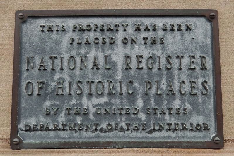
Regarding Lucas County. National Register of Historic Places in (1973)
Also see . . .
1. Robert Lucas. Ohio History Central website entry:
In addition to his military service, Lucas also became involved in state politics. Prior to the War of 1812, he had served one term in the Ohio House of Representatives. In 1814, he was elected
to the Ohio Senate for the first time. He served as a state senator for several terms (1814-1822, 1824-1828, and 1829-1830) before returning to the lower house for a term in 1831-1832. During the 1820s, Lucas became a supporter of Andrew Jackson and joined the Democratic Party. His political and military reputation made him a widely respected figure in the state, and he even served as the first president of the Democratic National Convention. (Submitted on August 22, 2018, by Cosmos Mariner of Cape Canaveral, Florida.)
2. The United States nearly went to war over Louisiana. History website entry "8 Things You May Not Know About the Louisiana Purchase", #2:
Under a 1795 treaty with Spain, U.S. merchants and farmers could send their goods down the Mississippi River and store them in New Orleans without paying export duties. For many Americans, this so-called right of deposit was important enough that talk of war began proliferating when it was revoked in October 1802. (Submitted on August 22, 2018, by Cosmos Mariner of Cape Canaveral, Florida.)
3. The Toledo War: When Michigan and Ohio Nearly Came to Blows. History website entry:
The so-called “Toledo War” had its roots in the shortcomings of 18th century geography. In 1787, Congress drafted the Northwest Ordinance, which stipulated that 260,000 square miles of territory surrounding the Great Lakes would eventually be carved into a handful of new states. Specifically, the law decreed that the
border between Ohio and Michigan was to run on “an east and west line drawn through the southerly bend or extreme of Lake Michigan” until it intersected with Lake Erie. There was just one problem: the best available maps depicted Lake Michigan’s southern tip as being several miles north of its true location. As a result, the original border placed the mouth of the Maumee River and the future city of Toledo in northern Ohio rather than in southern Michigan. (Submitted on August 22, 2018, by Cosmos Mariner of Cape Canaveral, Florida.)
Credits. This page was last revised on February 4, 2023. It was originally submitted on August 18, 2018, by Cosmos Mariner of Cape Canaveral, Florida. This page has been viewed 207 times since then and 12 times this year. Photos: 1, 2, 3, 4, 5, 6. submitted on August 22, 2018, by Cosmos Mariner of Cape Canaveral, Florida. 7, 8. submitted on September 4, 2018, by Cosmos Mariner of Cape Canaveral, Florida. • Andrew Ruppenstein was the editor who published this page.
