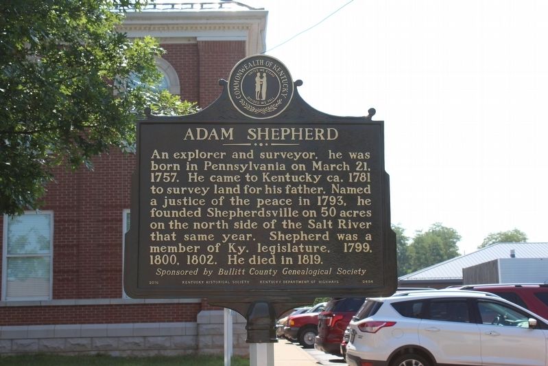
Adam Shepherd
Sponsored by Bullitt County Genealogical Society.
Erected 2016 by Kentucky Historical Society & Kentucky Department of Highways. (Marker Number 2494.)
Topics and series. This historical marker is listed in this topic list: Colonial Era. In addition, it is included in the Kentucky Historical Society series list. A significant historical date for this entry is March 21, 1757.
Location. 37° 59.275′ N, 85° 42.988′ W. Marker is in Shepherdsville, Kentucky, in Bullitt County. Marker is on South Buckman Street (Kentucky Route 61), on the right when traveling north. Marker located in front of Bullitt County Courthouse. Touch for map. Marker is in this post office area: Shepherdsville KY 40165, United States of America. Touch for directions.
Other nearby markers. At least 8 other markers are within walking distance of this marker. County Named, 1796 (within shouting distance of this marker); Bullitt County Veterans Memorial (within shouting distance of this marker); The 1917 Train Wreck (about 500 feet away, measured in a direct line);
Also see . . .
1. Peter and Adam Shepherd Kentucky Surveys. (Submitted on August 18, 2018, by Tom Bosse of Jefferson City, Tennessee.)
2. Adam Shepherd Historical Marker (YouTube, 8.5 min.). "In 2016, a historical marker was erected on the courthouse lawn in Shepherdsville to remember the man for whom the town is named. This video shares some of what we know about this man." (Submitted on June 6, 2021.)
Credits. This page was last revised on June 6, 2021. It was originally submitted on August 18, 2018, by Tom Bosse of Jefferson City, Tennessee. This page has been viewed 321 times since then and 24 times this year. Photos: 1, 2. submitted on August 18, 2018, by Tom Bosse of Jefferson City, Tennessee. • Bill Pfingsten was the editor who published this page.

