West Point in Hardin County, Kentucky — The American South (East South Central)
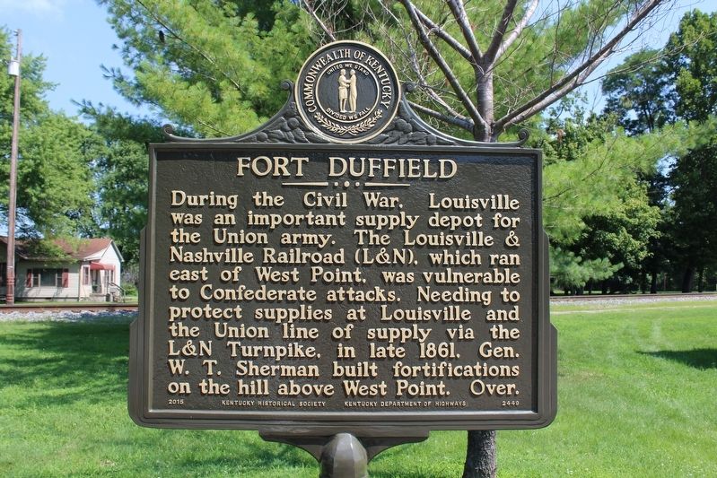
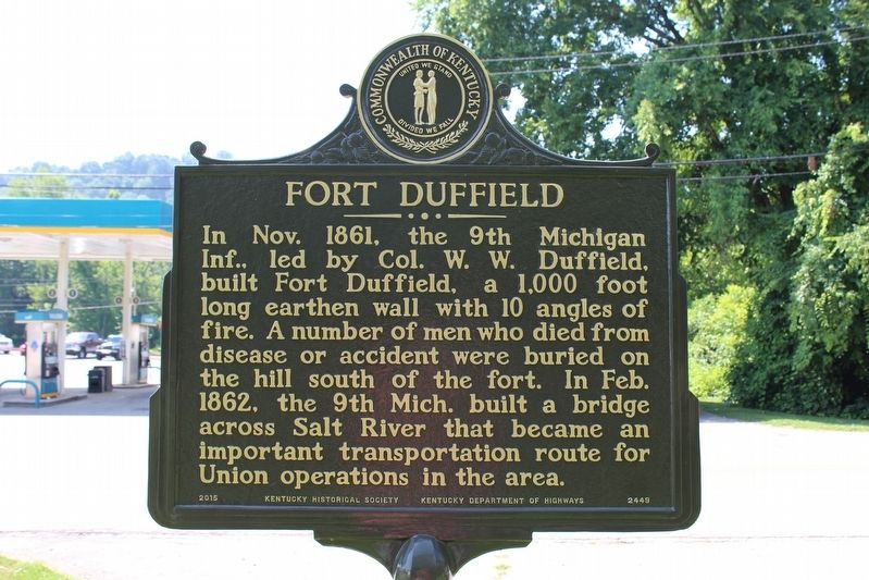
Fort Duffield
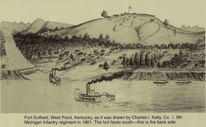
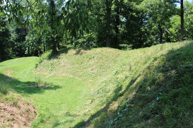
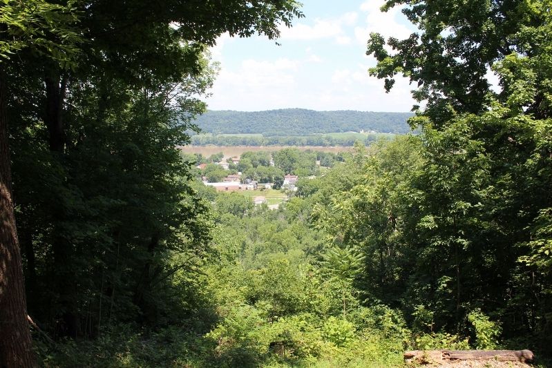
In Nov. 1861, the 9th Michigan Inf., led by Col. W. W. Duffield, built Fort Duffield, a 1,000 foot long earthen wall with 10 angles of fire. A number of men who died from disease or accident were buried on the hill south of the fort. In Feb. 1862, the 9th Mich. built a bridge across Salt River that became an important transportation route for Union operations in the area.
Erected 2016 by Kentucky Historical Society & Kentucky Department of Highways. (Marker Number 2449.)
Topics. This historical marker is listed in these topic lists: Bridges & Viaducts • Forts and Castles • War, US Civil. A significant historical month for this entry is November 1861.
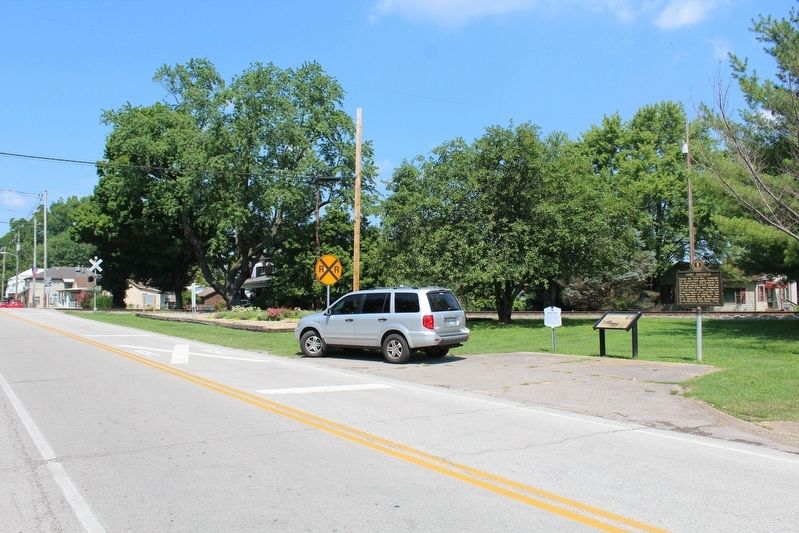
Location. 37° 59.973′ N, 85° 56.674′ W. Marker is in West Point, Kentucky, in Hardin County. Marker is at the intersection of Main Street (Kentucky Route 835) and Dixie Highway (U.S. 60/31W), on the right when traveling west on Main Street. Touch for map. Marker is in this post office area: West Point KY 40177, United States of America. Touch for directions.
Other nearby markers. At least 8 other markers are within walking distance of this marker. The Great Raid and West Point (here, next to this marker); Camp Knox (here, next to this marker); Pioneer Cemetery (within shouting distance of this marker); Founding of West Point/ James Young (about 400 feet away, measured in a direct line); Sears and Roebuck (about 400 feet away); James Young House (about 400 feet away); West Point (about 500 feet away); Young's Inn (about 500 feet away). Touch for a list and map of all markers in West Point.
Also see . . . Fort Duffield. (Submitted on August 18, 2018, by Tom Bosse of Jefferson City, Tennessee.)
Credits. This page was last revised on February 27, 2020. It was originally submitted on August 18, 2018, by Tom Bosse of Jefferson City, Tennessee. This page has been viewed 344 times since then and 11 times this year. Photos: 1, 2, 3, 4, 5, 6. submitted on August 18, 2018, by Tom Bosse of Jefferson City, Tennessee. • Bernard Fisher was the editor who published this page.
