West Point in Hardin County, Kentucky — The American South (East South Central)
The Great Raid and West Point
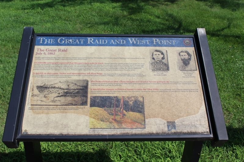
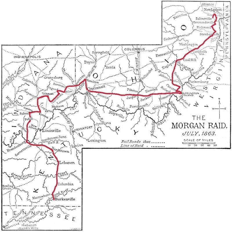
The Great Raid
ó July 6, 1863 ó
A Louisville newspaper reported that Morganís were in town. Another report by a packet boat helped spread the alarm. The boat was headed for West Point when those aboard saw Confederates the craft quickly reversed course and returned to New Albany. By midnight, alarm bells in Louisville were calling the militia to arms. No one knew how many of Morganís men were in West Point. Concern quickly became panic, the citizens fearing that Morgan was at their door. To make matters worse, cannon fire could be heard from Jeffersonville, Indiana. The already frightened populace feared a battle was raging across the river. Fortunately, the cannon fire was only an alarm calling the Indiana Home Guard to action.
As quickly as they came, Taylor and Meriweather left West Point. One reason for their rapid departure was Fort Duffield. The fort located on the heights above town was manned at the time and had several pieces of artillery. If Morganís men had been bold enough to attack they would have found a warm reception waiting for them.
The Federals had no idea where Morgan was or what he was going to do The feint into West Point further confused the situation, giving Morgan more time. Union authorities were forced to send soldiers to West Point to make sure that Morgan did not cross the Salt River and ride for Louisville.
It would take Morgan seventeen hours to cross the Ohio River at Brandenburg. The confusion caused by smith and Merriweather's incursion into West Point bought a few more hours, allowing the mounted Confederates to cross the river before the slow moving Federal infantry could stop them.
(captions)
West Point is located at the confluence of the Salt and Ohio Rivers. Fort Duffield was built on the heights above the town to protect the approach via the Louisville-Nashville Turnpike.
Fort Duffield was constructed in the fall of 1861 using a plan created by Capt. Nathanial Michlar, an engineer with the Union Army of the Ohio.
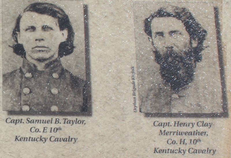
Capt. Samuel B. Taylor, Co. E 10th Kentucky Cavalry
Capt. Henry Clay Merriweather, Co. H 10th Kentucky Cavalry
Erected by Kentucky Heartland Civil War Trails Commission. (Marker Number 36.)
Topics and series. This historical marker is listed in these topic lists: Forts and Castles • War, US Civil. In addition, it is included in the John Hunt Morgan Heritage Trail in Kentucky series list. A significant historical date for this entry is July 6, 1863.
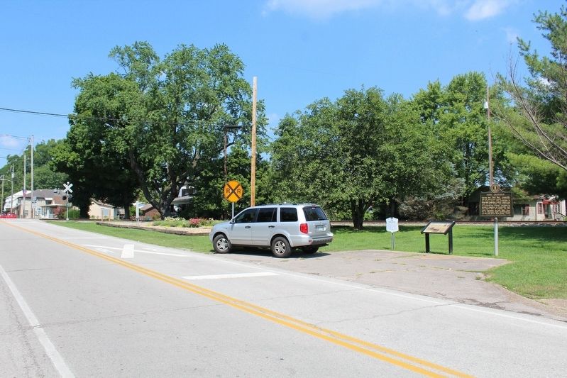
Location. 37° 59.972′ N, 85° 56.673′ W. Marker is in West Point, Kentucky, in Hardin County. Marker is at the intersection of Main Street (Kentucky Route 835) and Dixie Highway (U.S. 60/31W), on the right when traveling west on Main Street. Touch for map. Marker is in this post office area: West Point KY 40177, United States of America. Touch for directions.
Other nearby markers. At least 8 other markers are within walking distance of this marker. Fort Duffield (here, next to this marker); Camp Knox (here, next to this marker); Pioneer Cemetery (within shouting distance of this marker); Founding of West Point/ James Young (about 400 feet away, measured in a direct line); Sears and Roebuck (about 400 feet away); James Young House (about 400 feet away); West Point (about 500 feet away); Young's Inn (about 500 feet away). Touch for a list and map of all markers in West Point.
Credits. This page was last revised on August 19, 2018. It was originally submitted on August 18, 2018, by Tom Bosse of Jefferson City, Tennessee. This page has been viewed 370 times since then and 21 times this year. Photos: 1, 2, 3, 4, 5. submitted on August 18, 2018, by Tom Bosse of Jefferson City, Tennessee. • Bernard Fisher was the editor who published this page.
