Mineral Ridge in Trumbull County, Ohio — The American Midwest (Great Lakes)
Mineral Ridge Black Band Ore
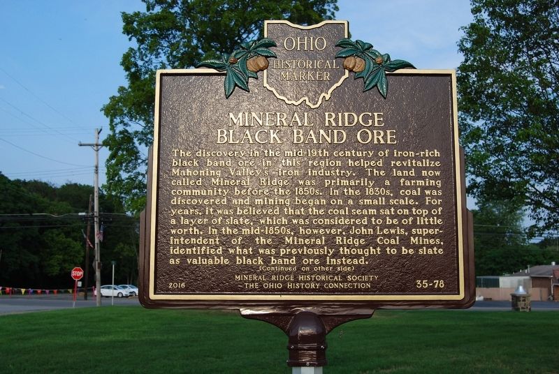
The discovery in the mid-19th century of iron-rich black band ore in this region helped revitalize Mahoning Valley’s iron industry. The land now called Mineral Ridge was primarily a farming community before the 1850s. In the 1830s, coal was discovered and mining began on a small scale. For years, it was believed that the coal seam sat on top of a layer of slate, which was considered to be of little worth. In the mid-1850s, however, John Lewis, superintendent of the Mineral Ridge Coal Mines, identified what was previously thought to be slate as valuable black band ore instead. (Continued on other side)
Side B
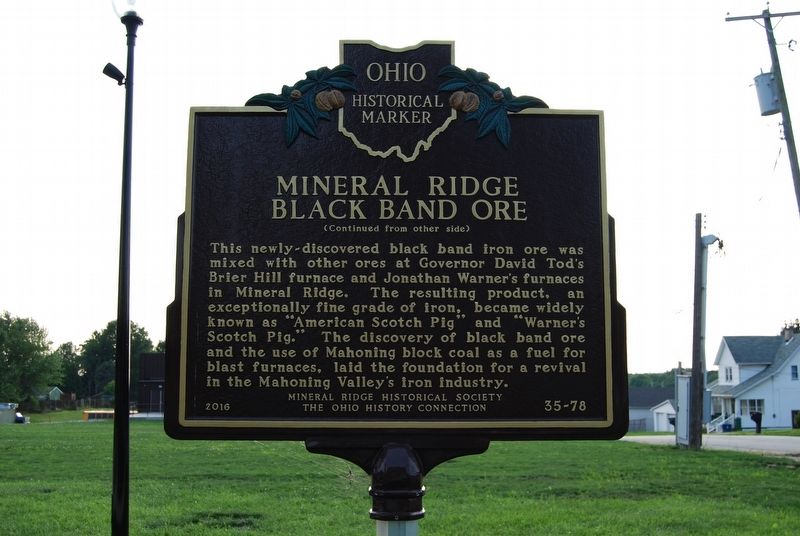
(Continued from other side) This newly-discovered black band iron ore was mixed with other ores at Governor David Tod's Brier Hill furnace and Jonathan Warner's furnaces in Mineral Ridge. The resulting product, an exceptionally fine grade of iron, became widely known as "American Scotch Pig" and "Warner's Scotch Pig." The discovery of black band ore and the use of Mahoning block coal as a fuel for blast furnaces, laid the foundation for a revival in the Mahoning Valley's iron industry.
Erected 2016 by Mineral Ridge Historical Society and The Ohio History Connection. (Marker Number 35-78.)
Topics and series. This historical marker is listed in this topic list: Industry & Commerce. In addition, it is included in the Ohio Historical Society / The Ohio History Connection series list.
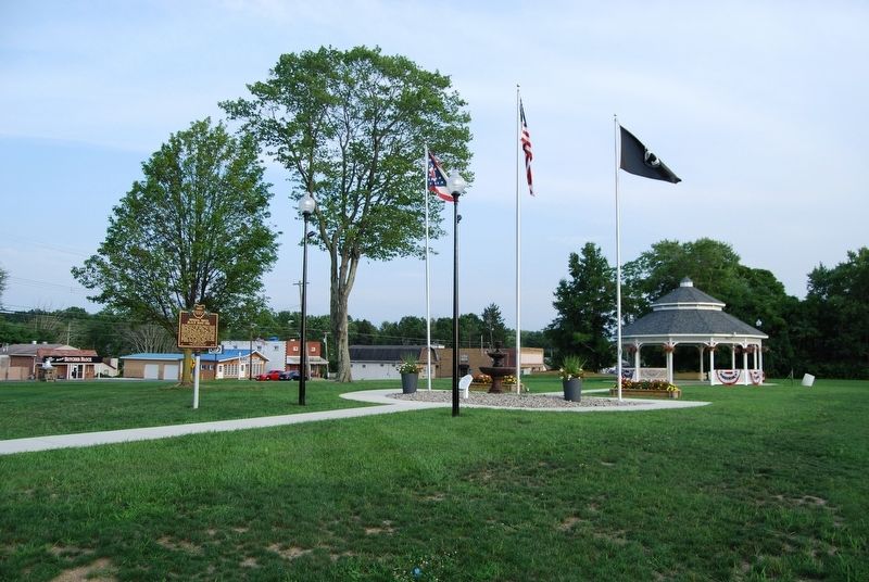
Location. 41° 8.459′ N, 80° 46.166′ W. Marker is in Mineral Ridge, Ohio, in Trumbull County. Marker is at the intersection of Stewart Street and South Main Street (Ohio Route 46), on the right when traveling east on Stewart Street. Touch for map. Marker is in this post office area: Mineral Ridge OH 44440, United States of America. Touch for directions.
Other nearby markers. At least 8 other markers are within 6 miles of this marker, measured as the crow flies. The Salt Springs (approx. 1.4 miles away); William McKinley Birthplace (approx. 2.7 miles away); James Heaton (approx. 2.7 miles away); William McKinley (approx. 2.8 miles away); The Barnhisel House (approx. 3.7 miles away); Kyle-McCollum House (approx. 5.9 miles away); Howland Springs (approx. 6 miles away); St. Augustine Episcopal Chapel (approx. 6 miles away).
Credits. This page was last revised on August 18, 2018. It was originally submitted on August 18, 2018, by Mike Wintermantel of Pittsburgh, Pennsylvania. This page has been viewed 736 times since then and 96 times this year. Photos: 1, 2, 3, 4. submitted on August 18, 2018, by Mike Wintermantel of Pittsburgh, Pennsylvania.


