Near St. Maries in Benewah County, Idaho — The American West (Mountains)
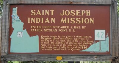
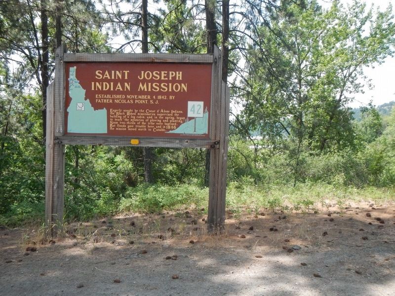
Saint Joseph Indian Mission
Eagerly sought by the Coeur d'Alene Indians, the Black Robed missionaries supervised the building of a log cabin, and in the spring, began to teach "the mysteries of plowing and planting." Soon two-thirds of the tribe were baptized. But floods gave trouble here, and in 1846 the mission moved north to Cataldo.
Erected by Idaho Department of Transportation. (Marker Number 42.)
Topics and series. This historical marker is listed in these topic lists: Cemeteries & Burial Sites • Education • Native Americans. In addition, it is included in the Idaho State Historical Society series list. A significant historical date for this entry is November 4, 1842.
Location. 47° 21.996′ N, 116° 40.818′ W. Marker is near St. Maries, Idaho, in Benewah County. Marker is on State Highway 3 at milepost 92 near Round Lake Road, on the right when traveling south. Touch for map. Marker is at or near this postal address: 92700 Idaho Highway 3, Saint Maries ID 83861, United States of America. Touch for directions.
Other nearby markers. At least 8 other markers are within 7 miles of this marker, measured as the crow flies. The Mullan Road (approx. 2˝ miles away); Once an area of many uses by the Coeur d'Alene People (approx. 4 miles away); Heyburn State Park (approx. 4.4 miles away); Mullan Trail Road (approx. 5˝ miles away); John Mullan (approx. 5˝ miles away); Splash Dam at Hobo Creek (approx. 5˝ miles away); Willamette Steam Donkey Engine (approx. 5˝ miles away); Hnpetptqwe'n Wayside (approx. 6.3 miles away). Touch for a list and map of all markers in St. Maries.
Credits. This page was last revised on August 19, 2018. It was originally submitted on August 19, 2018, by Barry Swackhamer of Brentwood, California. This page has been viewed 386 times since then and 24 times this year. Photos: 1, 2. submitted on August 19, 2018, by Barry Swackhamer of Brentwood, California.

