Bodmin in Cornwall, England, United Kingdom — Northwestern Europe (the British Isles)
The Trafalgar Way
— Bodmin —
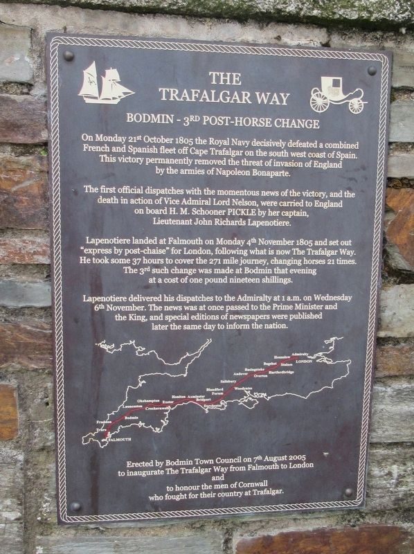
Bodmin – 3rd Post-Horse Change
The first official despatches with the momentous news of the victory, and the death in action of Vice Admiral Lord Nelson, were carried to England on board H. M. Schooner PICKLE by her captain Lieutenant John Richards Lapenotiere.
Lapenotiere landed at Falmouth on Monday 4th November 1805 and set out “express by post chaise” for London, following what is now The Trafalgar Way. He took some 37 hours to cover the 271 mile journey, changing horses 21 times. The 3rd such change was made at Bodmin that evening at a cost of one pound nineteen shillings.
Lapenotiere delivered his dispatches to the Admiralty at 1 a.m. on Wednesday 6th November. The news was passed to the Prime Minister and the King at once and special editions of newspapers were published later the same day to inform the nation.
to inaugurate The Trafalgar Way from Falmouth to London
and
to honor the men of Cornwall who fought for their country at Trafalgar.
Erected 2005.
Topics and series. This historical marker is listed in this topic list: Military. In addition, it is included in the Trafalgar Way series list.
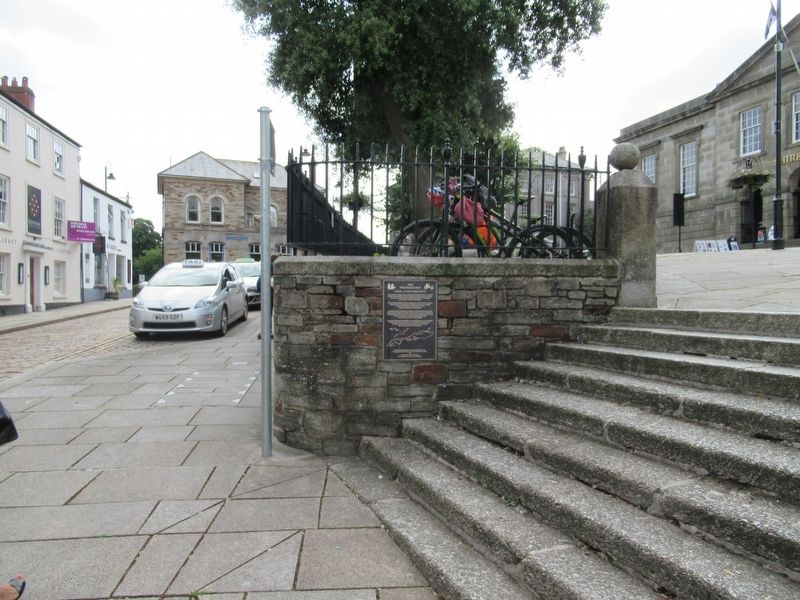
Location. 50° 28.244′ N, 4° 43.121′ W. Marker is in Bodmin, England, in Cornwall. Marker is on Fore Street close to Turf Street, on the left when traveling north. Located on the wall of Mt. Folly Square behind the Shire Hall. Touch for map. Marker is in this post office area: Bodmin, England PL31 2DQ, United Kingdom. Touch for directions.
Other nearby markers. At least 8 other markers are within 11 kilometers of this marker, measured as the crow flies. Sir Arthur Quiller Couch House (within shouting distance of this marker); Bodmin War Memorial (about 240 meters away, measured in a direct line); Duke of Cornwall Light Infantry Memorial (approx. 0.6 kilometers away); RAF Linguists Association (approx. 0.6 kilometers away); U.S. Army 29th Infantry Division Memorial (approx. 0.6 kilometers away); Bodmin Militia Stores Keep (approx. 0.6 kilometers away); Bodmin Beacon (approx. 0.7 kilometers away); St Breward War Memorial (approx. 10.8 kilometers away). Touch for a list and map of all markers in Bodmin.
Also see . . . The Trafalgar Way on Wikipedia. (Submitted on August 20, 2018, by Michael Herrick of Southbury, Connecticut.)
Credits. This page was last revised on January 27, 2022. It was originally submitted on August 20, 2018, by Michael Herrick of Southbury, Connecticut. This page has been viewed 141 times since then and 13 times this year. Photos: 1, 2. submitted on August 20, 2018, by Michael Herrick of Southbury, Connecticut.

