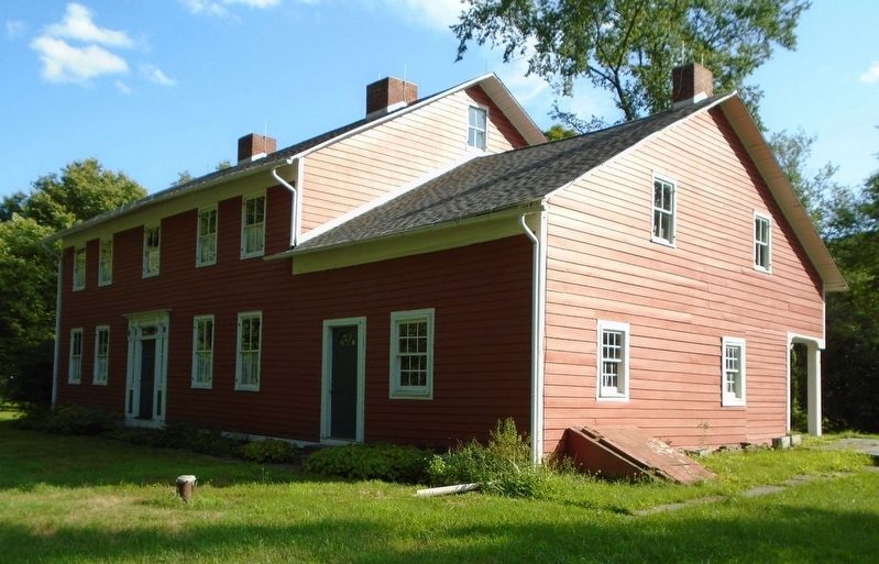
Daniels' Farmhouse at New Castle
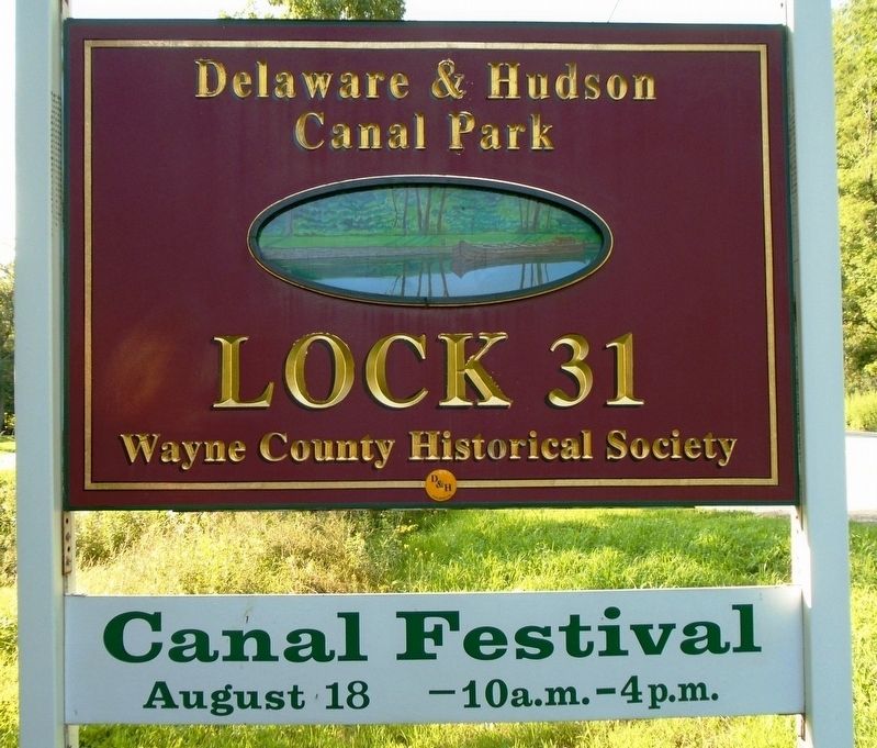
Delaware & Hudson Canal Park at Lock 31
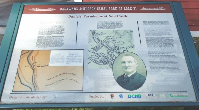
Much had been written about the Delaware & Hudson Canal but unfortunately, that is not the case for this building, especially its early years.
According to Phineas Goodrich in his 1880 book, History of Wayne County, Pennsylvania, "about [1815], Jason Torrey, Abisha Woodward, and Moses Kellam bought the place afterwards called the Daniels farm, built a frame house, called it New Castle, and carried on lumbering on a large scale there for many years, and then sold out the premises to Joseph Atkinson who in his turn, sold to Russell Daniels from Connecticut. [Daniels] became a noted lumberman, and for many years kept a public house...The lumber manufactured at New Castle was always in demand at Philadelphia."
Russell Daniels (1794-1863) and his wife Cynthia (Kellam or Killam) Daniels were among the earliest inhabitants of the area. After purchasing, they cleared and farmed the property while raising eight children to adulthood in New Castle. The Daniels were probably living in this house when the canal was being built behind where you are now standing, and starting in 1829, where boats locked through daily. About that time, a plank road, now PA Rt. 6 was built on the other side of their house, between Honesdale and Hawley. (See canal company's 1854-56
map below.) Russell died in 1863 at the age of 69, and on [the] 13th of August of that year, his wife advertised the sale of the farm in the Wayne County Herald, reproduced below.Later in 1863, Ira Daniel[s] (1824-1896), their third son agreed to buy out the interests of his mother and siblings, and took up residence, with his wife Margaret (Atkinson) Daniels. The 1872 Beer's Atlas of Wayne County, PA map below, labels the house "I. Daniels". But fifteen years later, the property was sold at sheriff's sale to settle Ira's debts to members of his family and $200 owed to Patrick Weir (See 1870 photo below.), who had been the nearby lock tender for the past fourteen years.
Thomas V. Taft, a land speculator, for whom nearby Tafton was named, purchased the property for $1,525 and on the same day, 28 February 1878, sold it for $5,000 to Ernst A. Hintze (1840-1901). Taft retained lumber rights for seven years except for twenty-five nut trees.
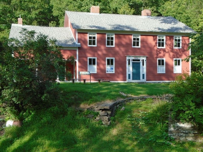
Born in Germany, Hintze came to America when he was eighteen and became a grocer in Brooklyn, NY. He extensively remodeled the house and opened part of it as a hotel, renaming it Hintze's (Note name above the door to your right.), while living there with his wife Dorothy (Lieffers) Hintze, two sons, two daughters, and sister-in-law. He immediately applied for a liquor license,
renewing it regularly for the rest of his life. He erected a small store doing business with the boatmen until the canal closed twenty-one years later. Locals also frequented Hintze's for dances held in the large room on the second floor.Hintze died at the age of 61. His wife applied for yet another liquor license in 1902, but she also sold the property in that year. Ownership changed several times until 1910, when Annie Marie Hopes Selberg (1885-1960) of Queens, NY paid $1.00 probably to a relative for the property, thus beginning ninety-one years of the Selberg family living and dying in the house by natural causes, fire, and suicide. She and her husband John Henry Selberg (1872-1934) moved into the house with their son Frederick William (1902-1986), daughters Anna Katherine (1904-1970) and May Eva (Martha) (1907-1977). William Walter (1915-1997), their last child was born five years after buying the property. After Annie's death, the property was left equally to her four adult unmarried children living in the house. After all of his siblings died, William lived alone in the house for 20 years until he took his own life. William willed the property to a cousin, Robert Olson, whose son and young family lived in the house briefly.
In 2001, using grants, the Wayne County Historical Society purchased this relatively
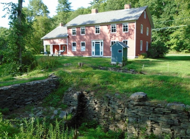
Since then, much effort and resources have gone into its stabilization and restoration, which consulting historic architect, John Bowie describes as "constructed using a combination of heavy timber, late-18th century, Colonial barn framing techniques, combined with vertical board plank construction. The building [is] large in size, more that [sic - than] a typical residence of the period - more like a barn. However, in spite of its generous size, it was well-constructed and well-apportioned by a designer who cared about the aesthetic sensibilities being placed on it."
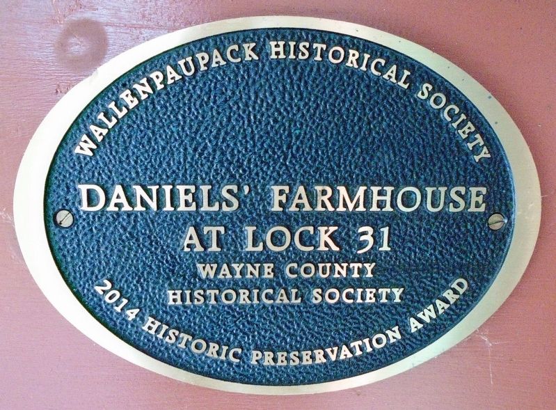
Daniels' Farmhouse at Lock 31
Wayne County Historical Society
2014 Historic Preservation Award
Wallenpaupack Historical Society
Erected by Wayne County Historical Society, NPS, PHMC, PA DCNR, Lackawanna Heritage Valley, et al.
Topics. This historical marker is listed in these topic lists: Agriculture • Industry & Commerce • Settlements & Settlers • Waterways & Vessels. A significant historical year for this entry is 1880.
Location. 41° 29.624′ N, 75° 11.681′ W. Marker is near Hawley, Pennsylvania, in Pike County. Marker is adjacent to the Daniels' Farmhouse SW Elevation (canal-side) at the Delaware & Hudson Canal Park at Lock 31. Touch for map. Marker is at or near this postal address: 179 Texas Palmyra Highway, Hawley PA 18428, United States of America. Touch for directions.
Other nearby markers. At least 8 other markers are within 2 miles of this marker, measured as the crow flies. Pennsylvania's Delaware & Hudson Canal Park at Lock 31 (within shouting distance of this marker); Daniels Farmhouse, D&H Canal Park at Lock 31 Towpath Trail and Riverside Trail (within shouting distance of this marker); Delaware & Hudson Canal Company Boat Outline (within shouting distance of this marker); Facts about the Delaware & Hudson Canal 1828-1898 (within shouting distance of this marker); Bingham Park (approx. 1.1 miles away); 9/11 Memorial (approx. 1.2 miles away); War Memorial (approx. 1.2 miles away); History of Hawley (approx. 1.2 miles away). Touch for a list and map of all markers in Hawley.
Also see . . . The D & H Canal Park at Lock 31. Wayne County Historical Society website entry (Submitted on August 22, 2018, by William Fischer, Jr. of Scranton, Pennsylvania.)
Credits. This page was last revised on November 1, 2022. It was originally submitted on August 21, 2018, by William Fischer, Jr. of Scranton, Pennsylvania. This page has been viewed 268 times since then and 22 times this year. Photos: 1, 2, 3, 4, 5. submitted on August 22, 2018, by William Fischer, Jr. of Scranton, Pennsylvania. 6. submitted on August 21, 2018, by William Fischer, Jr. of Scranton, Pennsylvania.
