St. Francis in Milwaukee County, Wisconsin — The American Midwest (Great Lakes)
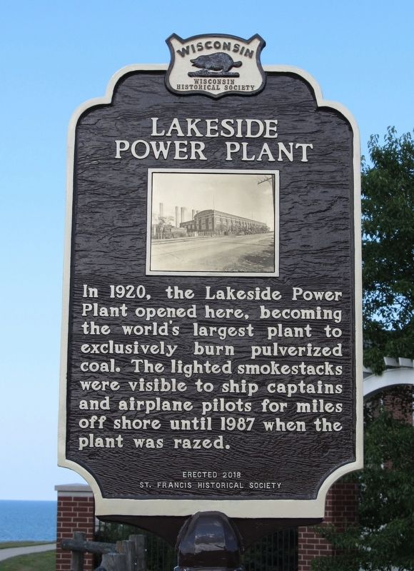
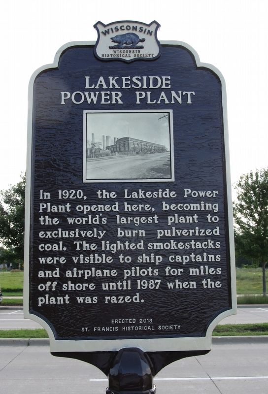
Lakeside Power Plant
Erected 2018 by Wisconsin Historical Society and St. Francis Historical Society. (Marker Number 576.)
Topics and series. This historical marker is listed in this topic list: Industry & Commerce. In addition, it is included in the Wisconsin Historical Society series list. A significant historical year for this entry is 1920.
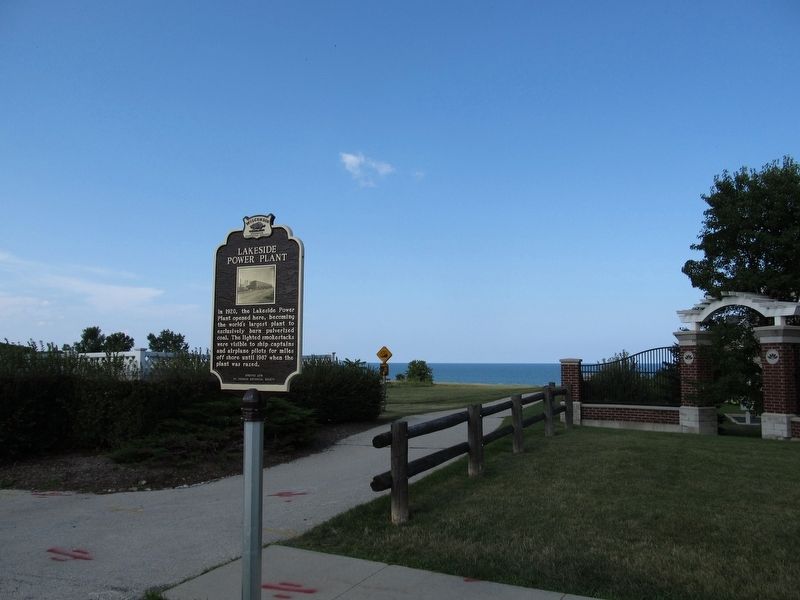
Location. 42° 58.488′ N, 87° 51.427′ W. Marker is in St. Francis, Wisconsin, in Milwaukee County. Marker is at the intersection of South Lake Drive (State Highway 32) and East Howard Avenue, on the right when traveling north on South Lake Drive. Marker is located at the entrance to the Oak Leaf Trail. Touch for map. Marker is at or near this postal address: 3800 South Lake Drive, Saint Francis WI 53235, United States of America. Touch for directions.
Other nearby markers. At least 8 other markers are within 5 miles of this marker, measured as the crow flies. Lake Protestant Cemetery (approx. 0.7 miles away); General Mitchell Field (approx. 2.2 miles away); Bay View's Rolling Mill (approx. 2.4 miles away); Town of Lake (approx. 3.2 miles away); Bay View’s Immigrants (approx. 3.2 miles away); St. Josaphat Basilica (approx. 3.7 miles away); Saint Stephen Lutheran Church (approx. 4.3 miles away); Lake Michigan Water Trail (approx. 4.4 miles away).
Regarding Lakeside Power Plant. Additional history and pictures: https://hannemanarchive.com/tag/lakeside-power-plant/
Credits. This page was last revised on November 11, 2021. It was originally submitted on August 22, 2018, by Paul Fehrenbach of Germantown, Wisconsin. This page has been viewed 661 times since then and 90 times this year. Last updated on November 9, 2021. Photos: 1, 2, 3, 4. submitted on August 22, 2018, by Paul Fehrenbach of Germantown, Wisconsin. • J. Makali Bruton was the editor who published this page.


