Lottie in Baldwin County, Alabama — The American South (East South Central)
History of Lottie, Alabama
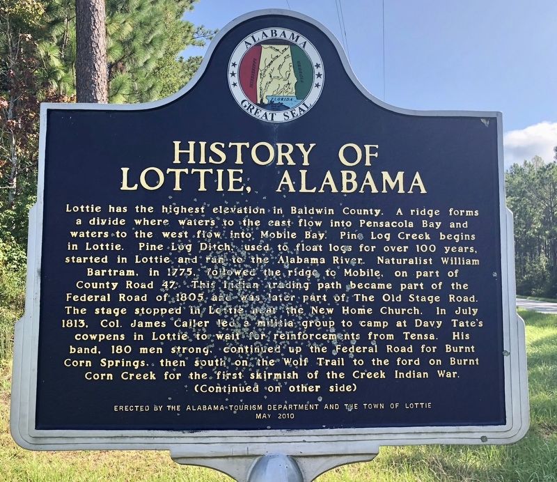
Front
Lottie has the highest elevation in Baldwin County. A ridge forms a divide where waters to the east flow into Pensacola Bay and waters to the west flow into Mobile Bay. Pine Log Creek begins in Lottie. Pine Log Ditch, used to float logs for over 100 years, started in Lottie and ran to The Alabama River. Naturalist William Bartram, in 1775, followed the ridge path to Mobile, on part of County Road 47. This Indian trading path became part of the Federal Road of 1805 and was later part of the The Old Stage Road. The stage stopped in Lottie near The New Home Church. In July, 1813, Col. James Caller led a militia group to camp at Davy Tate's cowpens in Lottie to wait for reinforcements from Tensa. His band, 180 men strong, continued up the Federal Road for Burnt Corn Springs, then south on the Wolf Trail to the ford on Burnt Corn Creek for the first skirmish of the Creek Indian War.
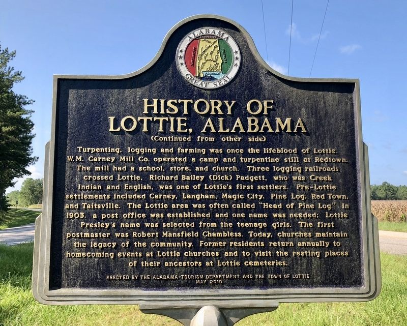
Reverse
Turpenting, logging and farming was once the lifeblood of Lottie. W.M. Carney Mill Co. operated a camp and turpentine still at Redtown. The mill had a school, store, and church. Three logging railroads crossed Lottie. Richard Bailey (Dick) Padgett, who was Creek Indian and English, was one of Lottie's first settlers. Pre-Lottie settlements included Carney, Langham, Magic City, Pine Log, Red Town, and Taitsville. The Lottie area was often called “Head of Pine Log." In 1903, a post office was established and one name was needed; Lottie Presley's name was selected from the teenage girls. The first postmaster was Robert Mansfield Chambless. Today, churches maintain the legacy of the community. Former residents return annually to homecoming events at Lottie churches and to visit the resting places of their ancestors at Lottie cemeteries.
Erected 2010 by Alabama Tourism Development and the Town of Lottie.
Topics. This historical marker is listed in these topic lists: Roads & Vehicles • Settlements & Settlers • Wars, US Indian • Waterways & Vessels. A significant historical month for this entry is July 1813.
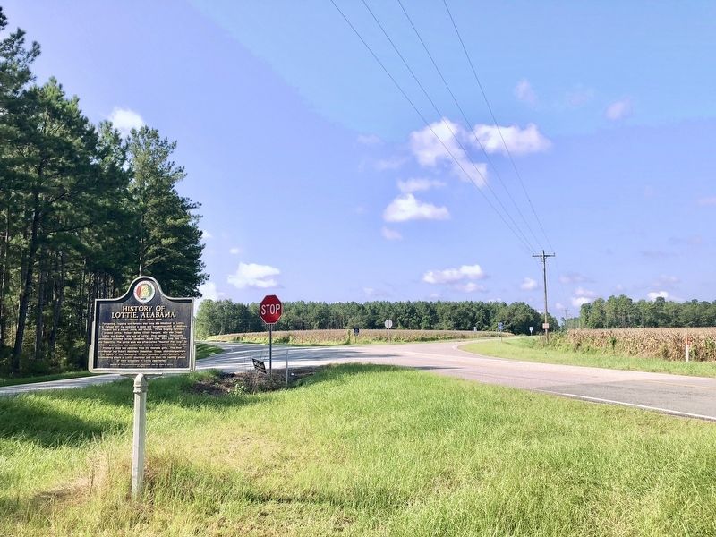
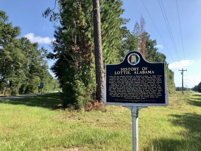
Location. 31° 7.102′ N, 87° 37.938′ W. Marker is in Lottie, Alabama, in Baldwin County. Marker is at the intersection of Jack Springs Road and Lottie Road (County Road 61), on the right when traveling south on Jack Springs Road. Touch for map. Marker is at or near this postal address: Jack Springs Road, Atmore AL 36502, United States of America. Touch for directions.
Other nearby markers. At least 8 other markers are within 15 miles of this marker, measured as the crow flies. Perdido Vineyards (approx. 6.9 miles away); Railroad Bill (approx. 10˝ miles away); Williams Station, Alabama 1866-1897 / Atmore, Alabama (approx. 10.6 miles away); Watson Cabin (approx. 10.7 miles away); Escambia County Training School (approx. 10.9 miles away); Fort Mims (approx. 12.7 miles away); Creek Indian Removal (approx. 12.8 miles away); Uriah Veterans Memorial (approx. 15.1 miles away).
Regarding History of Lottie, Alabama. Lottie is 310 feet [94 m] above sea level.
Credits. This page was last revised on August 24, 2018. It was originally submitted on August 24, 2018, by Mark Hilton of Montgomery, Alabama. This page has been viewed 1,935 times since then and 345 times this year. Photos: 1, 2, 3, 4. submitted on August 24, 2018, by Mark Hilton of Montgomery, Alabama.


