D'Iberville in Harrison County, Mississippi — The American South (East South Central)
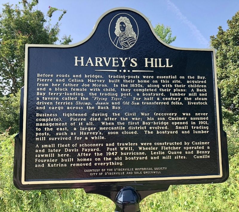
Harvey's Hill
Business tightened during the Civil War (recovery was never complete) Pierre died after the war; his son Casimer assumed management of it all. When the first Bay-bridge opened in 1901, to the east, a larger mercantile district evolved. Small trading posts, such as Harvey's, soon closed. The boatyard and lumber mill survived for a while.
A small fleet of schooners and trawlers were constructed by Casimer and later Davis Fayard. Post WWII, Wheeler Fletcher operated a sawmill here. After the 1947 hurricane, Leslie Quave and Benny Fournier built homes on the old boatyard and mill sites. Camille and Katrina removed everything.
Erected 2017 by the D'Iberville Historical Society, City of D'Iberville and Dale Greenwell.
Topics. This historical marker is listed in these topic lists: Industry & Commerce • Settlements & Settlers • Waterways & Vessels. A significant historical year for this entry is 1901.
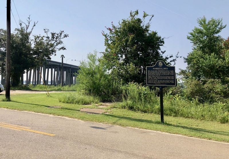
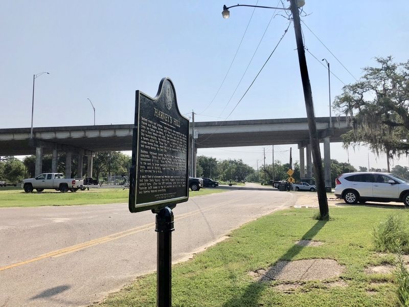
Location. 30° 25.5′ N, 88° 53.725′ W. Marker is in D'Iberville, Mississippi, in Harrison County. Marker is at the intersection of Bay Shore Drive and Boney Avenue, on the left when traveling west on Bay Shore Drive. Touch for map. Marker is at or near this postal address: Bay Shore Drive, Diberville MS 39540, United States of America. Touch for directions.
Other nearby markers. At least 8 other markers are within walking distance of this marker. Santa Cruz Landing (approx. 0.2 miles away); The Quave Commercial Strip (approx. ¼ mile away); The Land and Legend of the Cross (approx. 0.3 miles away); The Five Trails (approx. 0.3 miles away); The Crossing (approx. 0.3 miles away); The Old Brickyard (approx. 0.4 miles away); Fort Maurepas and Old Biloxi (approx. 0.4 miles away); D'Iberville High School Original Site (approx. 0.4 miles away). Touch for a list and map of all markers in D'Iberville.
Credits. This page was last revised on August 24, 2018. It was originally submitted on August 24, 2018, by Mark Hilton of Montgomery, Alabama. This page has been viewed 267 times since then and 30 times this year. Photos: 1, 2, 3. submitted on August 24, 2018, by Mark Hilton of Montgomery, Alabama.


