Dauphin Island in Mobile County, Alabama — The American South (East South Central)
British Occupation of Dauphin Island
February - April 1815
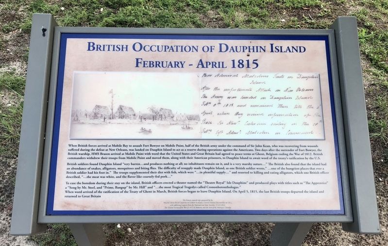
British soldiers found Dauphin Island "very barren...and produces nothing at all; no inhabitants remain on it, and is a very marshy nature..." The British also found that the island had an abundance of snakes, alligators, mosquitoes and biting flies. The difficulty of resupply made Dauphin Island, as one British soldier wrote," ...one of the hungriest places that ever a British soldier had his foot in." The troops supplemented their diet with fish, which were "...in plentiful supply..." and resorted to killing and eating alligators, which one British officer described, "... the meat was white, and the flavor like coarsely-fed pork..."
To ease the boredom during their stay on the island, British officers erected a theater named the "Theatre Royal" Isle Dauphine" and produced plays with titles such as "The Apprentice" a "Song by Mr. Steel, and "Prime, Bangup" by Mr. Hill” and "...the most Tragical Tragedys called Crononhotonthologus." When word arrived of the ratification of the Treaty of Ghent in March, British forces began to leave Dauphin Island. On April 5, 1815, the last British troops departed the island and returned to Great Britain.
Erected by the Major Uriah Blue Chapter of Lower Alabama, United States Daughters of 1812, National and State Societies, U.S.D. 1812; the General Society of the War of 1812 in Alabama and the Sons of the American Colonists.
Topics and series. This historical marker is listed in these topic lists: Military • War of 1812 • Waterways & Vessels. In addition, it is included in the Daughters of the American Colonists, the Sons of the American Colonists, and the United States Daughters of 1812, National Society series lists. A significant historical date for this entry is April 5, 1815.
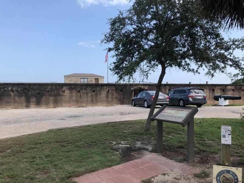
Location. 30° 14.935′ N, 88° 4.578′ W. Marker is on Dauphin Island, Alabama, in Mobile County. Marker can be reached from Bienville Boulevard east of Albatross Street, on the right when traveling east. Located in the parking area of Fort Gaines. Touch for map. Marker is at or near this postal address: Bienville Boulevard, Dauphin Island AL 36528, United States of America. Touch for directions.
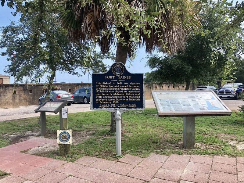
Other nearby markers. At least 8 other markers are within walking distance of this marker. Fort Gaines (here, next to this marker); 19th Century Shipwreck (within shouting distance of this marker); Storm Clouds Gather (within shouting distance of this marker); "To Be Blown To Kingdom Come" (about 300 feet away, measured in a direct line); Anchor From U.S.S. Hartford (about 300 feet away); "Save Your Garrison." (about 400 feet away); Energy from the Sands of Time (about 400 feet away); “Damn the Torpedoes!” (about 500 feet away). Touch for a list and map of all markers in Dauphin Island.
Also see . . . 1815 sketch of British troops encamped on Dauphin Island. (Submitted on August 25, 2018, by Mark Hilton of Montgomery, Alabama.)
Credits. This page was last revised on May 3, 2020. It was originally submitted on August 25, 2018, by Mark Hilton of Montgomery, Alabama. This page has been viewed 460 times since then and 44 times this year. Photos: 1, 2, 3. submitted on August 25, 2018, by Mark Hilton of Montgomery, Alabama.


