Downtown in St. Louis, Missouri — The American Midwest (Upper Plains)
Rue des Granges
Third Street
English:
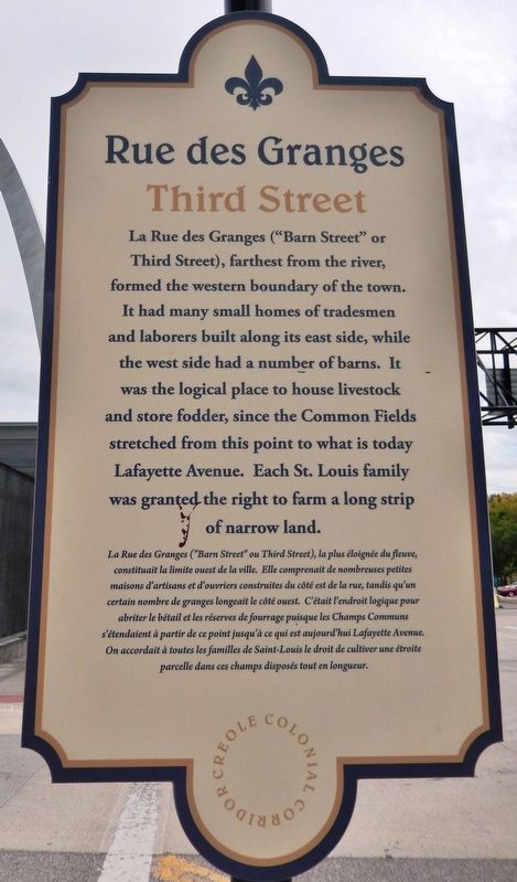
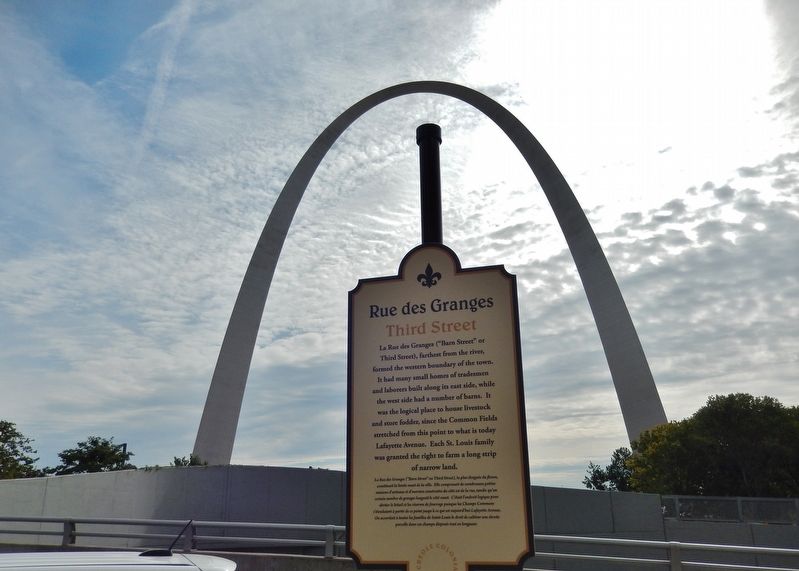
La Rue des Granges ("Barn Street" or Third Street), farthest from the river, formed the western boundary of the town. It had many small homes of tradesmen and laborers built along its east side, while the west side had a number of barns. It was the logical place to house livestock and store fodder, since the Common Fields stretched from this point to what is today Lafayette Avenue. Each St. Louis family was granted the right to farm a long strip of narrow land.
French:
La Rue des Granges ("Barn Street" ou Third Street), la plus éloignée du fleuve, constituait la limite ouest de la ville. Elle comprenait de nombreuses petites maisons d'artisans et d'ouvriers construites du côté est de la rue, tandis qu'un certain nombre de granges longeait le côté ouest. C'était l'endroit logique pour abriter le bétail et les réserves de fourrage puisque les Champs Communs s'étendaient à partir de ce point jusqu'à ce qui est aujourd'hui Lafayette Avenue. On accordait à toutes les familles de Saint-Louis le droit de cultiver une étroite parcelle dans ces champs disposés tout en longueur.
Erected 2014 by Creole Colonial Corridor.
Topics. This historical marker is listed in these topic lists: Roads & Vehicles • Settlements & Settlers.
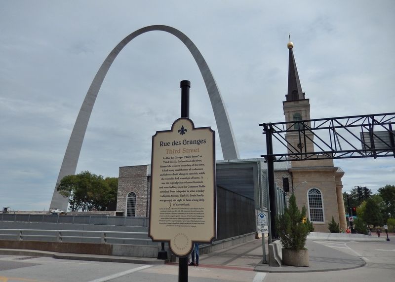
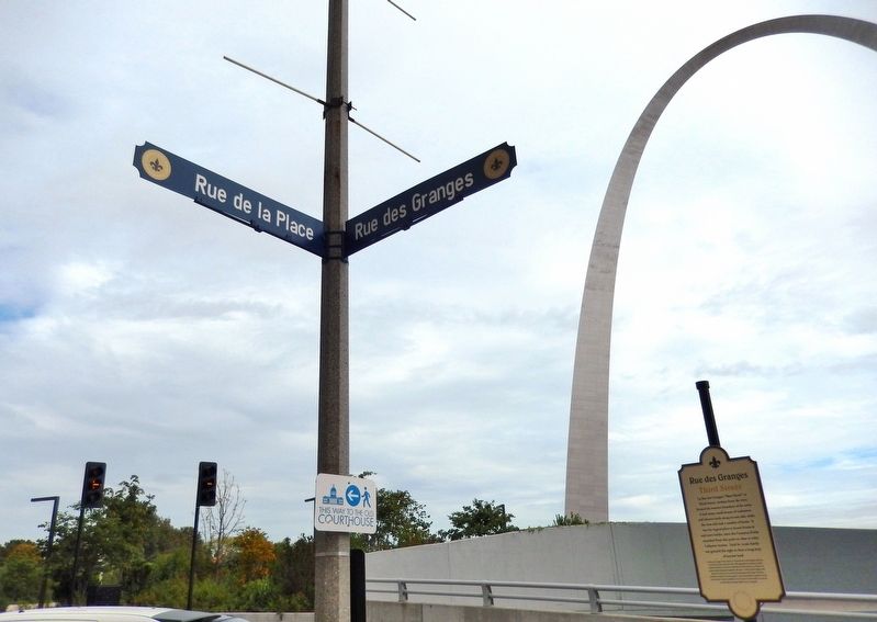
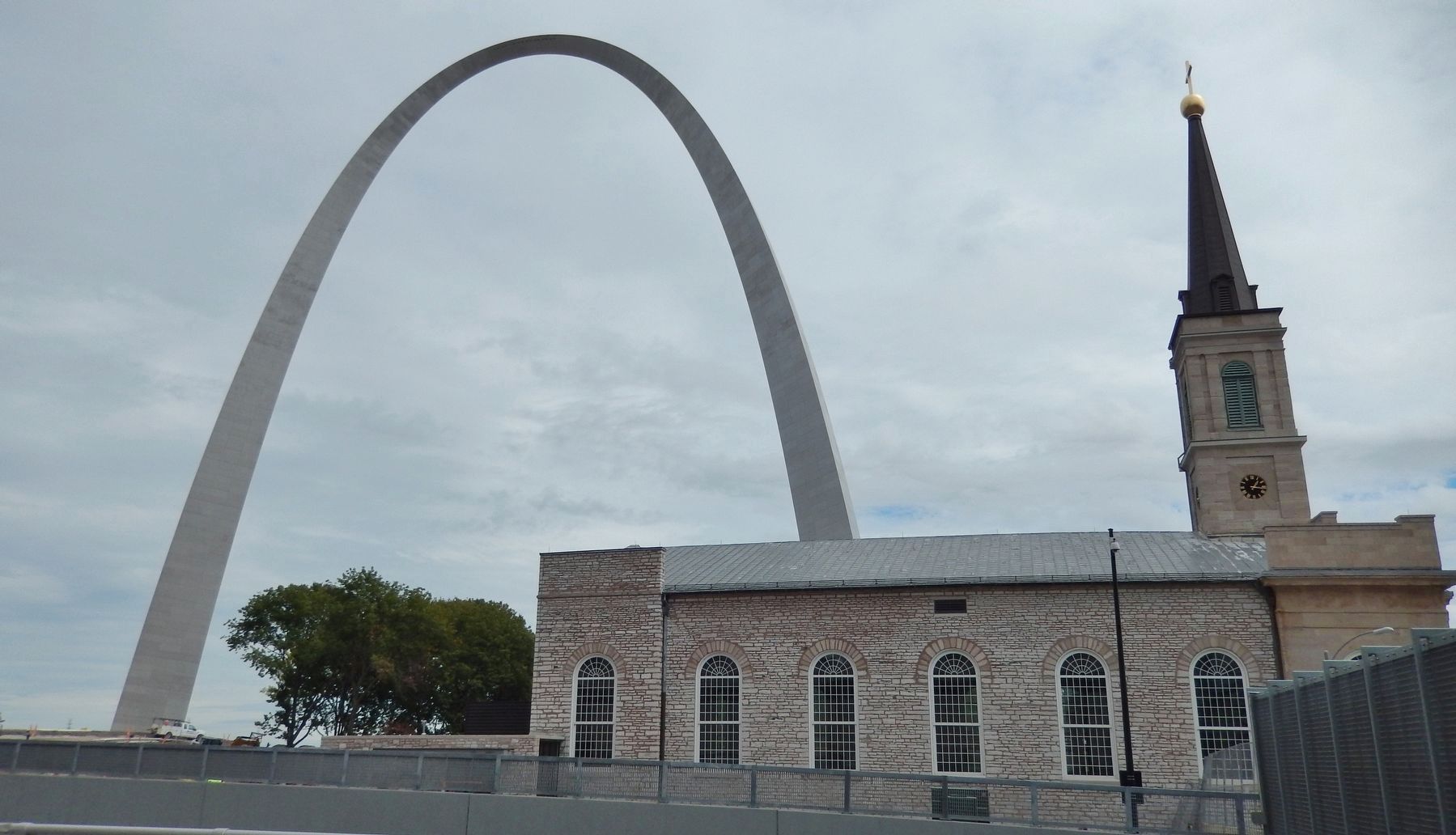
Location. 38° 37.447′ N, 90° 11.282′ W. Marker is in St. Louis, Missouri. It is in Downtown. Marker is at the intersection of Walnut Street and Memorial Drive (Rue des Granges), on the left when traveling east on Walnut Street. Marker is located on the sidewalk at the northwest corner of the intersection, facing west, near the crosswalk, overlooking the Old Cathedral The Basilica Of Saint Louis, King Of France to the east. Touch for map. Marker is in this post office area: Saint Louis MO 63102, United States of America. Touch for directions.
Other nearby markers. At least 8 other markers are within walking distance of this marker. Basilica of Saint Louis, King (within shouting distance of this marker); First Conference, Society of Saint Vincent de Paul (within shouting distance of this marker); Church Domain (within shouting distance of this marker); American Zinc Building (about 300 feet away, measured in a direct line); KMOX (about 300 feet away); Abraham Lincoln Slept Here (about 300 feet away); Rue de la Tour (about 300 feet away); An Explosion Saves The City (about 400 feet away). Touch for a list and map of all markers in St. Louis.
More about this marker.
There are at least two copies of this marker: one at the intersection of Memorial Drive & Walnut Street, and another at the intersection of Memorial Drive & Market Street. This is one of seven markers by the Creole Colonial Corridor (a.k.a. Les Amis) that was placed in St. Louis (October 2014), in honor of the city's 250th birthday.
Also see . . .
1. The French City (1764-1819). In August of 1763, Pierre Laclede Liguest, partner in the New Orleans trading firm of Maxent, Laclede and Company drifted down the Mississippi from its intersection with the Missouri and Illinois Rivers, looking for a new trading post. He stopped at the first elevated site he saw on the west bank, where the river was overlooked by limestone ledges, and a sandy shore provided a landing place. St. Louis was far from the first French outpost in the New World. The French had colonized Haiti and other Caribbean islands, as well as French Canada, before making New Orleans their primary settlement in the present day United States. Laclede's relocation to St. Louis was a successful bid to profit from the apparently unlimited resources of the American continent. (Submitted on August 28, 2018, by Cosmos Mariner of Cape Canaveral, Florida.)
2. History of St. Louis: Founding and early plans. Three streets ran parallel to the river: First Street (also known as La Rue Royale, La Grande Rue, and Main Street), Second Street (also known as La Rue d'Eglise or Church Street), and Third Street (also known as La Rue des
Granges or Barn Street).
North of the market block and perpendicular to the river was Market Street (also known as La Rue de la Place or La Rue Bonhomme); south of the market block were Walnut Street (also known as La Rue de la Tour) and Chestnut Street (also known as La Rue Missouri). (Submitted on August 28, 2018, by Cosmos Mariner of Cape Canaveral, Florida.)
Credits. This page was last revised on January 30, 2023. It was originally submitted on August 26, 2018, by Cosmos Mariner of Cape Canaveral, Florida. This page has been viewed 311 times since then and 35 times this year. Last updated on June 17, 2020, by Jason Voigt of Glen Carbon, Illinois. Photos: 1, 2, 3, 4, 5. submitted on August 28, 2018, by Cosmos Mariner of Cape Canaveral, Florida. • Devry Becker Jones was the editor who published this page.
