Centro Histórico in Ciudad de México, Mexico — The Valley of Mexico (The Central Highlands)
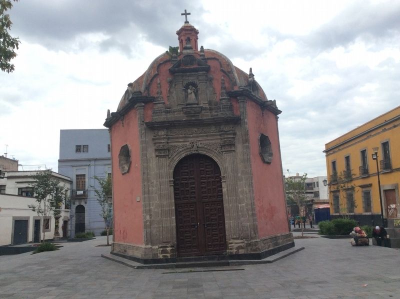
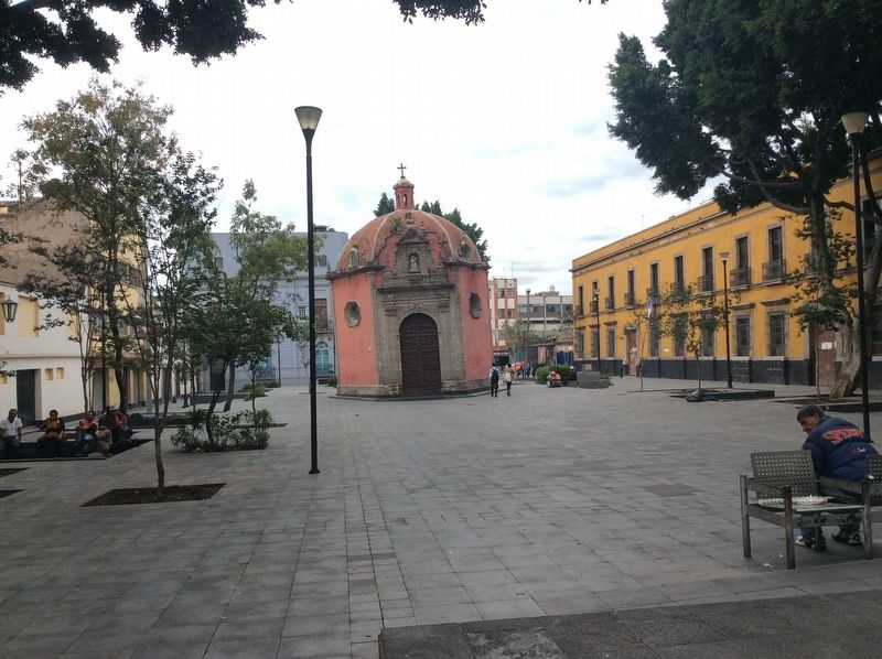
The Chapel of the Dead
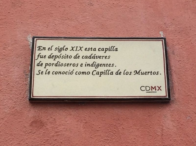
En el siglo XIX esta capilla fue depósito de cadáveres de pordioseros e indigentes. Se le conoció como Capilla de los Muertos.
In the 19th century this chapel was where the bodies of beggars and the indigent were held before burial. It was known as the Chapel of the Dead.
Erected by Ciudad de México.
Topics. This historical marker is listed in these topic lists: Charity & Public Work • Churches & Religion • Colonial Era • Man-Made Features.
Location. 19° 26.341′ N, 99° 8.362′ W. Marker is in Ciudad de México. It is in Centro Histórico. Marker is on Belisario Domínguez just west of Héroes de 57, on the right when traveling west. Touch for map. Marker is in this post office area: Ciudad de México 06000, Mexico. Touch for directions.
Other nearby markers. At least 8 other markers are within walking distance of this marker. The Convent of La Concepción (within shouting distance of this marker); a different marker also named Convent of La Concepción (about 120 meters away, measured in a direct line); Aquiles Serdán (about 180 meters away); Parish of San Lorenzo, Deacon and Martyr (about 180 meters away); Mariachi and the "El Tenampa" Cantina (about 210 meters away); Guglielmo Marconi (approx. 0.3 kilometers away); Cámara de Diputados (approx. 0.3 kilometers away); The Church of San Andrés (approx. 0.3 kilometers away). Touch for a list and map of all markers in Ciudad de México.
Credits. This page was last revised on April 17, 2020. It was originally submitted on September 2, 2018, by J. Makali Bruton of Accra, Ghana. This page has been viewed 139 times since then and 13 times this year. Photos: 1, 2, 3. submitted on September 2, 2018, by J. Makali Bruton of Accra, Ghana.


