Harpers Ferry in Jefferson County, West Virginia — The American South (Appalachia)
Shenandoah River
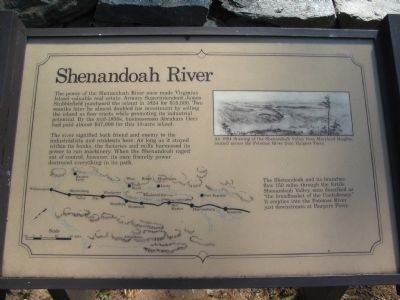
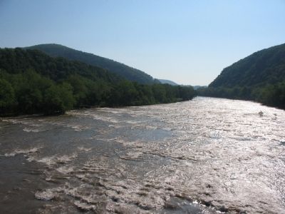
The river signified both friend and enemy to the industrialists and residents here. As long as it stayed within its banks, the factories and mills harnessed its power to run machinery. When the Shenandoah ranged out of control, however, its once friendly power destroyed everything in its path.
The Shenandoah and its branches flow 150 miles through the fertile Shenandoah Valley, once described as "the breadbasket of the Confederacy." It empties into the Potomac River just downstream at Harpers Ferry.
Topics. This historical marker is listed in these topic lists: Industry & Commerce • Natural Features. A significant historical year for this entry is 1824.
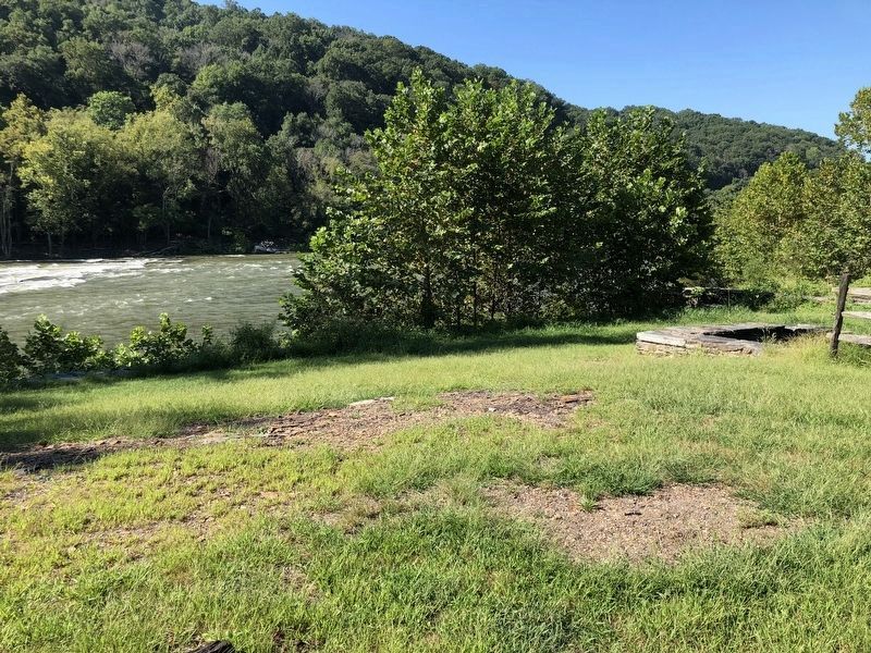
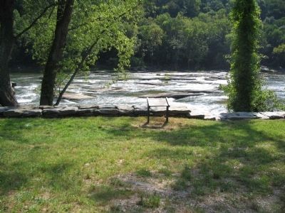
Location. Marker has been reported missing. It was located near 39° 19.249′ N, 77° 44.07′ W. Marker was in Harpers Ferry, West Virginia, in Jefferson County. Marker could be reached from Shenandoah Street (Business U.S. 340), on the right when traveling east. Located on Virginius Island in Harpers Ferry National Historic Site. Touch for map. Marker was in this post office area: Harpers Ferry WV 25425, United States of America. Touch for directions.
Other nearby markers. At least 8 other markers are within walking distance of this location. Water Tunnels (a few steps from this marker); Cotton Mill (within shouting distance of this marker); Shenandoah Canal (about 400 feet away, measured in a direct line); River Wall (about 600 feet away); Jonathan Child House (about 600 feet away); Jefferson Rock (about 600 feet away); a different marker also named Jefferson Rock (about 600 feet away); Island Mills (about 700 feet away). Touch for a list and map of all markers in Harpers Ferry.
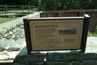
More about this marker. On the lower left is a map of the Shenandoah Valley showing the course of the Shenandoah River. In the upper right is An 1864 drawing of the Shenandoah Valley from Maryland Heights, located across the Potomac River from Harpers Ferry.
Credits. This page was last revised on September 14, 2018. It was originally submitted on May 10, 2009, by Craig Swain of Leesburg, Virginia. This page has been viewed 1,348 times since then and 29 times this year. Last updated on September 3, 2018, by Shane Oliver of Richmond, Virginia. Photos: 1. submitted on May 10, 2009, by Craig Swain of Leesburg, Virginia. 2. submitted on September 7, 2018, by Shane Oliver of Richmond, Virginia. 3. submitted on May 10, 2009, by Craig Swain of Leesburg, Virginia. 4. submitted on August 22, 2010, by Paul Jordan of Burlington, N. C., U. S. A.. 5. submitted on May 10, 2009, by Craig Swain of Leesburg, Virginia. 6. submitted on August 22, 2010, by Paul Jordan of Burlington, N. C., U. S. A.. • Bill Pfingsten was the editor who published this page.
