Jerome in Yavapai County, Arizona — The American Mountains (Southwest)
The Childs-Irving Project - Construction Challenges
Inscription.
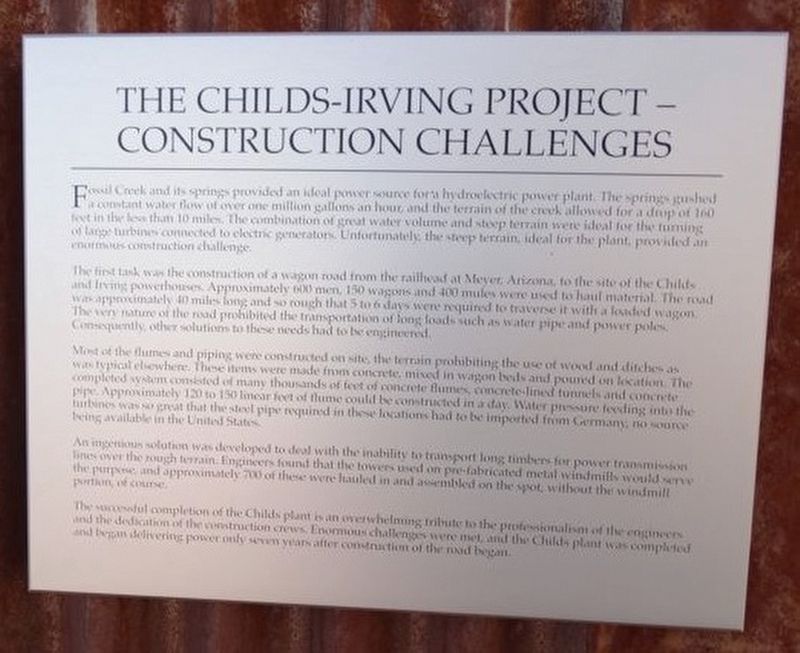
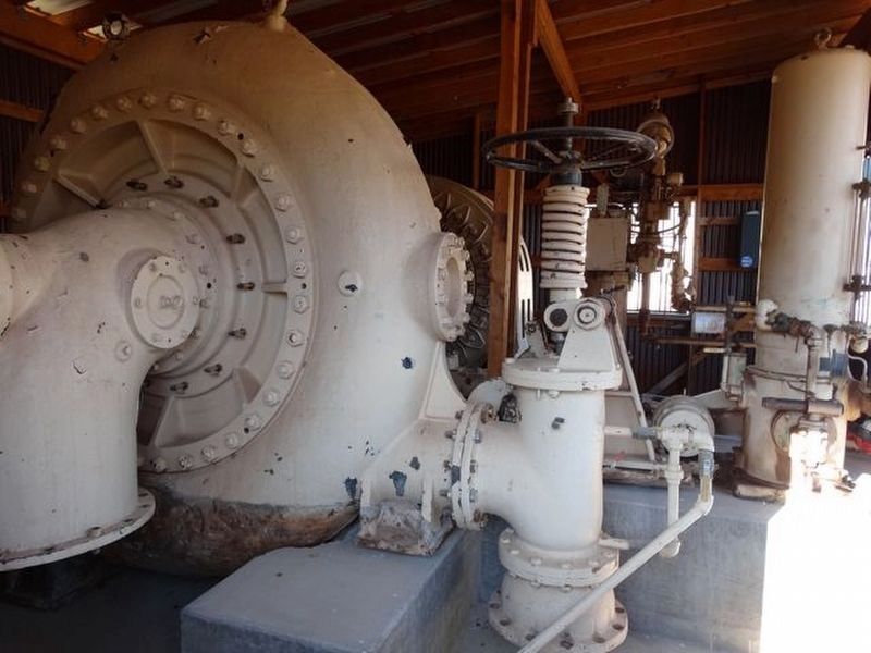
Fossil Creek and its springs provided an ideal power source for a hydroelectric power plant. The springs gushed a constant water flow of over one million gallons an hour, and the terrain of the creek allowed for a drop of 160 feet in the less than 10 miles. The combination of great water volume and steep terrain were ideal for the turning of large turbines connected to electric generators. Unfortunately, the steep terrain, ideal for the plant, provided an enormous construction challenge.
The first task was the construction of a wagon road from the railhead at Meyer, Arizona to the site of the Childs and Irving powerhouses. Approximately 600 men, 150 wagons and 400 mules were used to haul material. The road was approximately 40 miles long and so rough that 5 to 6 days were required to traverse it with a loaded wagon. The very nature of the road prohibited the transportation of long loads such as water pipe and power poles. Consequently, other solutions to these needs had to be engineered.
Most of the flumes and piping were constructed on site, the terrain prohibiting the use of wood and ditches as was typical elsewhere. These items were made from concrete, mixed in wagon beds and poured on location. The completed system consisted of many thousands of feet of concrete flumes, concrete-lines tunnels and concrete pipe. Approximately 120 to 150 linear feet of flume could be constructed in a day. Water pressure feeding into the turbines was so great that the steel pipe required in these locations had to be imported from Germany, no source being available in the United States.
An ingenious solution was developed to deal with the inability to transport long timbers for power transmission lines over the rough terrain. Engineers found that the towers used on pre-fabricated metal windmills would serve the purpose, and approximately 700 of these were hauled in and assembled on the spot, without the windmill portion, of course.
The successful completion of the Childs plant is an overwhelming tribute to the professionalism of the engineers and the dedication of the construction crews. Enormous challenges were met, and the Childs plant was completed and began delivering power only seven years after construction of the road began.
Erected by Jerome Historical Society.
Topics. This historical marker is listed in this topic list: Natural Resources.
Location. 34° 45.224′ N, 112° 6.754′ W. Marker is in Jerome, Arizona, in Yavapai County. Marker is on Douglas Road (AKA State Parks Road, on the left when traveling west. Located in the Audrey Headframe Park and
next to the Jerome State Historic Park and Douglas Mansion. Touch for map. Marker is in this post office area: Jerome AZ 86331, United States of America. Touch for directions.
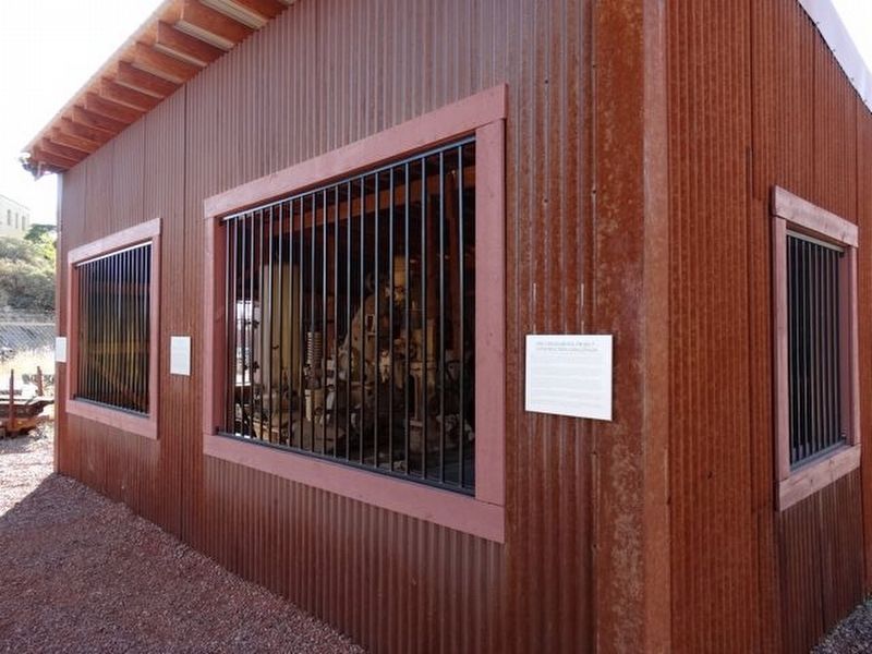
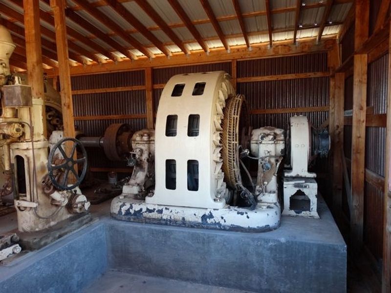
Other nearby markers. At least 8 other markers are within walking distance of this marker. The Irving Turbine and Generator (here, next to this marker); The Childs-Irving Project-Hydroelectric Project (here, next to this marker); The Audrey Shaft and UVX Operations (a few steps from this marker); Historic Audrey Shaft Headframe (a few steps from this marker); Jerome's Famous Sliding Jail (approx. ¼ mile away); Whitten Printers (approx. ¼ mile away); The Svob Family (approx. ¼ mile away); Hotel Connor (approx. ¼ mile away). Touch for a list and map of all markers in Jerome.
Credits. This page was last revised on September 4, 2018. It was originally submitted on September 3, 2018, by Denise Boose of Tehachapi, California. This page has been viewed 266 times since then and 18 times this year. Photos: 1, 2, 3, 4, 5. submitted on September 3, 2018, by Denise Boose of Tehachapi, California. • Syd Whittle was the editor who published this page.


