Portsmouth, England, United Kingdom — Northwestern Europe (the British Isles)
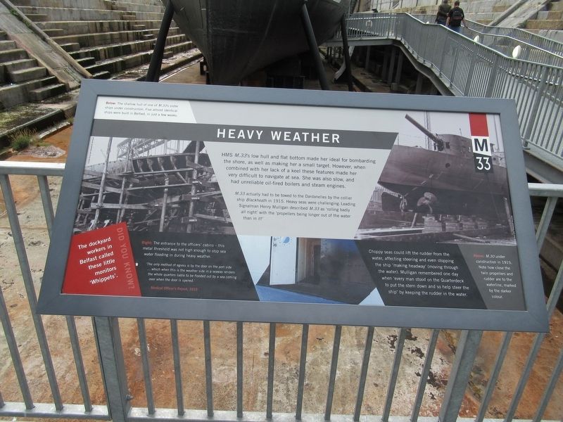
Heavy Weather
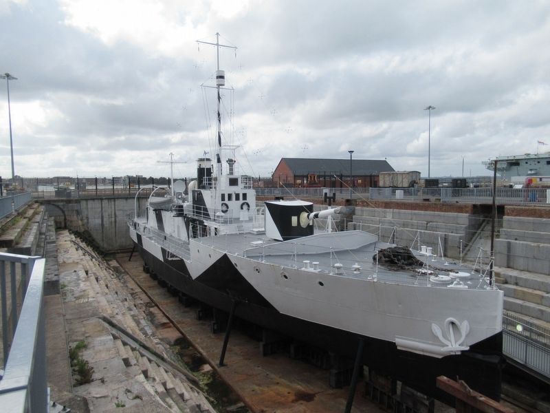
HMS M.33’s low hull and flat bottom made her ideal for bombarding the shore, as well as making her a small target. However, when combined with her lack of a keel these features made her very difficult to navigate at sea. She was also slow, and had unreliable oil-fired boilers and steam engines.
M.33 actually had to be towed to the Dardanelles by the collier ship Blackheath in 1915. Heavy seas were challenging. Leading Signalman Henry Mulligan described M.33 as ‘rolling badly all night’ with the ‘propellers being longer out of the water than in it!’
Choppy seas could lift the rudder from the water, affecting the steering and even stopping the ship ‘making headway’ (moving through the water). Mulligan remembered one day when ‘every man stood on the Quarterdeck to put the stern down and so help steer the ship’ by keeping the rudder in the water.
( photo captions )
Below: The shallow hull of on of M.33’s sister ships under construction. Five almost identical ships were built in Belfast, in just a few weeks.
Right: The entrance to the officers’ cabins — this metal threshold was not high enough to stop sea water flooding in during heavy weather.
‘The only method of egress is by the door on the port side … which when this is the weather side in a seaway renders the whole quarters liable to be flooded out by a sea coming over when the door is opened.’ Medical Officer’s report, 1915
Above: M.30 under construction in 1915. Note how close the twin propellers and rudder are to the waterline, marked by the darker colour.
Topics. This historical marker is listed in these topic lists: War, World I • Waterways & Vessels.
Location. 50° 48.1′ N, 1° 6.619′ W. Marker is in Portsmouth, England. Marker can be reached from the intersection of Queen Street and Wickham Street, on the left when traveling north. Located in Portsmouth Historic Dockyard. Touch for map. Marker is in this post office area: Portsmouth, England PO1 3LR, United Kingdom. Touch for directions.
Other nearby markers. At least 8 other markers are within walking distance of this marker. A Unique Survivor (here, next to this marker); HMS M.33’s People (here, next to this marker); No. 1 Dock (here, next to this marker); HMS M.33 (here, next to this marker); Conservation in Action (a few steps from this marker); Bruce Austin Fraser (a few steps from this marker); Ship Shape (within shouting distance of this marker); A Long Life (within shouting distance of this marker). Touch for a list and map of all markers in Portsmouth.
Credits. This page was last revised on January 27, 2022. It was originally submitted on September 4, 2018, by Michael Herrick of Southbury, Connecticut. This page has been viewed 104 times since then and 5 times this year. Photos: 1, 2. submitted on September 4, 2018, by Michael Herrick of Southbury, Connecticut.

