Silver Lake in Shawnee County, Kansas — The American Midwest (Upper Plains)
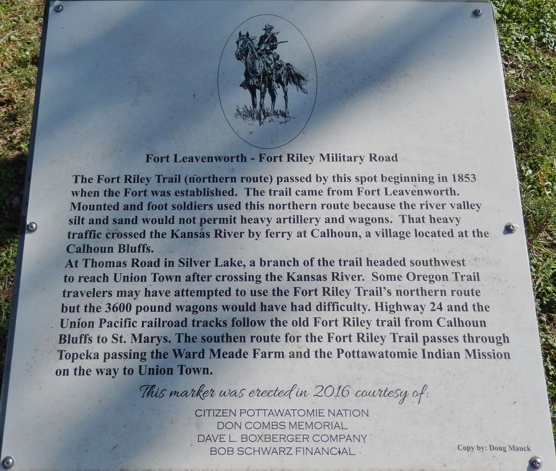
Fort Leavenworth - Fort Riley Military Road
Inscription.
The Fort Riley Trail (northern route) passed by this spot beginning in 1853 when the Fort was established. The trail came from Fort Leavenworth. Mounted and foot soldiers used this northern route because the river valley silt and sand would not permit heavy artillery and wagons. That heavy traffic crossed the Kansas River by ferry at Calhoun, a village located at the Calhoun Bluffs.
At Thomas Road in Silver Lake, a branch of the trail headed southwest to reach Union Town after crossing the Kansas River. Some Oregon Trail travelers may have attempted to use the Fort Riley Trail's northern route but the 3600 pound wagons would have had difficulty. Highway 24 and the Union Pacific railroad tracks follow the old Fort Riley trail from Calhoun Bluffs to St. Marys. The southern route for the Fort Riley Trail passes through Topeka passing the Ward Meade Farm and the Pottawatomie Indian Mission on the way to Union Town.
Citizen Pottawatomie Nation
Don Combs Memorial
Dave L. Boxberger Company
Bob Schwarz Financial
Copy by: Doug Mauck
Erected 2016 by Citizen Pottawatomie Nation, Don Combs Memorial, Dave L. Boxberger Company, and Bob Schwarz Financial.
Topics. This historical marker is listed in these topic lists: Railroads & Streetcars • Roads & Vehicles • Settlements & Settlers. A significant historical year for this entry is 1853.
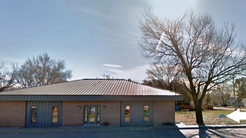
Location. 39° 6.325′ N, 95° 51.776′ W. Marker is in Silver Lake, Kansas, in Shawnee County. Marker is on Railroad Street (U.S. 24) east of Shawnee Street, on the right when traveling east. Marker is located beside the sidewalk, on the south side of US 24, near the northwest corner of a small office building. Touch for map. Marker is at or near this postal address: 323 West Railroad Street, Silver Lake KS 66539, United States of America. Touch for directions.
Other nearby markers. At least 8 other markers are within 8 miles of this marker, measured as the crow flies. First Section of Interstate Opened in United States (approx. 3.4 miles away); Veterans Memorial (approx. 5.3 miles away); Sioux Quartzite Boulder (approx. 5.8 miles away); Potawatomie Baptist Manual Labor Training School (approx. 5.8 miles away); Mission Kitchen Garden (approx. 5.8 miles away); Trails across Kansas (approx. 5.9 miles away); Fool Chief's Village (approx. 6.2 miles away); Gettysburg Address (approx. 8 miles away).
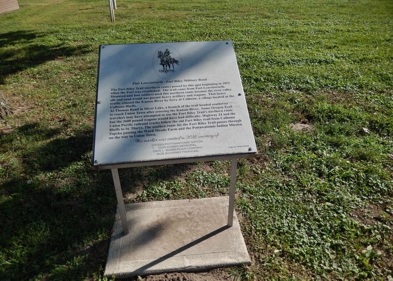
More about this marker. Marker is a large metal plaque, mounted horizontally
on waist-high posts.
Related markers. Click here for a list of markers that are related to this marker. Fort Leavenworth - Fort Riley Military Road
Also see . . . History of the Frontier Trails of Kansas. Legends of America website entry (Submitted on May 6, 2023, by Larry Gertner of New York, New York.)
Credits. This page was last revised on May 6, 2023. It was originally submitted on September 4, 2018, by Cosmos Mariner of Cape Canaveral, Florida. This page has been viewed 403 times since then and 33 times this year. Photos: 1, 2, 3. submitted on September 4, 2018, by Cosmos Mariner of Cape Canaveral, Florida. • Bill Pfingsten was the editor who published this page.


