Portsmouth, England, United Kingdom — Northwestern Europe (the British Isles)
The Ship Anson
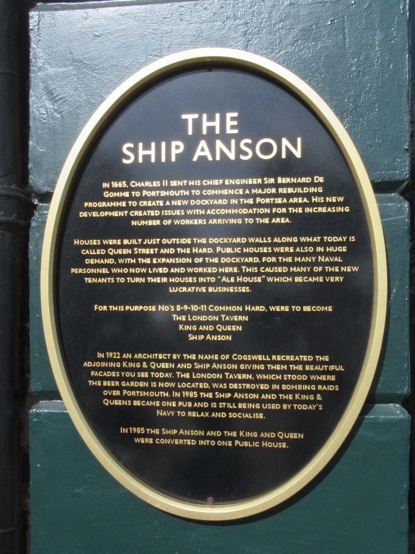
In 1665, Charles sent his chief engineer Sir Bernard De Gomme to Portsmouth to commence a major rebuilding programme to create a new dockyard in the Portsea area. His new development created issues with accommodation for the increasing number of workers arriving to the area.
Houses were built just outside the dockyard walls along what today is called Queen Street And the Hard. Public houses were also in huge demand, with the expansion of the dockyard, for the many naval personnel who now lived and worked here. This caused many of the new tenants to turn their houses into “ale house“ which became very lucrative businesses.
The London Tavern
King and Queen
Ship Anson
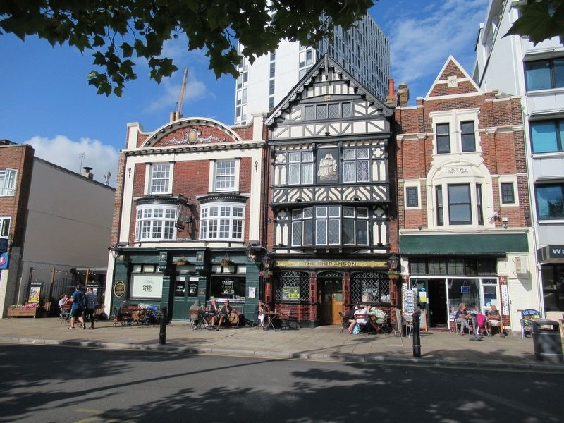
In 1922 an architect by the name of Cogswell recreated the adjoining King & Queen and Ship Anson giving them the beautiful facades you see today. The London Tavern, which stood where the beer garden is now located, was destroyed in bombing raids over Portsmouth. In 1985 the Ship Anson and the King & Queens became one pub and is still being used by today's Navy to relax and socialise.
In 1985 the Ship Anson and the King and Queen were converted into one public house.
Topics. This historical marker is listed in this topic list: Entertainment.
Location. 50° 47.912′ N, 1° 6.402′ W. Marker is in Portsmouth, England. Marker is at the intersection of Queen Street and Wickham Street, on the right when traveling north on Queen Street. Touch for map. Marker is at or near this postal address: 10 The Hard, Portsmouth, England PO1 3DT, United Kingdom. Touch for directions.
Other nearby markers. At least 8 other markers are within walking distance of this marker. Mudlarks (within shouting distance of this marker); The Hard (within shouting distance of this marker); Hertha Ayrton (within shouting distance of this marker); The Porter’s Garden (within shouting distance of this marker); Captain Robert Falcon Scott (within shouting distance of this marker); The Jutland Gun (about 90 meters away, measured in a direct line); Beware of the Wolf (about 120 meters away); The Figurehead (about 120 meters away). Touch for a list and map of all markers in Portsmouth.
Also see . . . Ship Anson - Greene King Pubs. (Submitted on September 7, 2018, by Michael Herrick of Southbury, Connecticut.)
Credits. This page was last revised on November 3, 2023. It was originally submitted on September 7, 2018, by Michael Herrick of Southbury, Connecticut. This page has been viewed 2,573 times since then and 251 times this year. Photos: 1, 2. submitted on September 7, 2018, by Michael Herrick of Southbury, Connecticut.

