Orinda in Contra Costa County, California — The American West (Pacific Coastal)
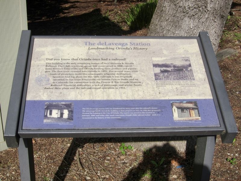
The deLaveaga Station
Landmarking Orinda's History
Did you know that Orinda once had a railroad?
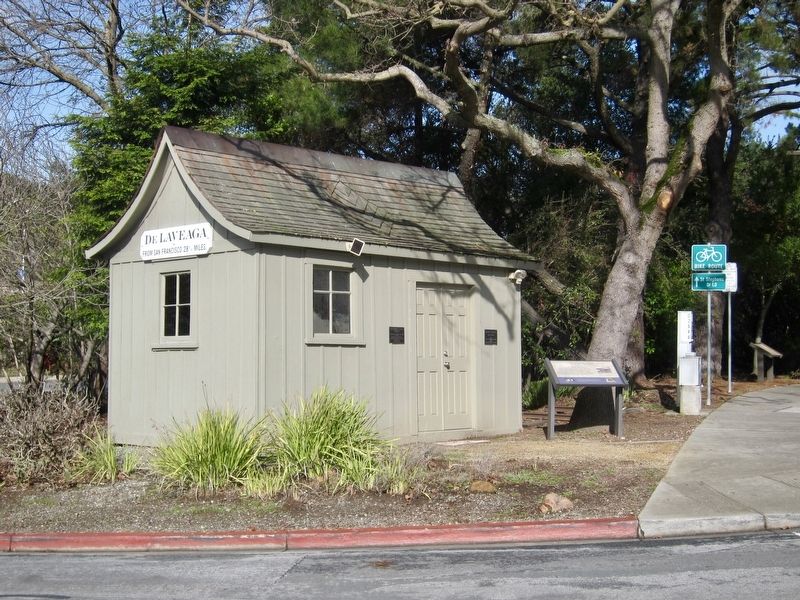
This building is the only remaining station of the California & Nevada Railroad. The C&N, a narrow gauge line constructed in 1890, ran 23 miles between Emeryville and Orinda hauling farm produce and passengers. The first train steamed into Orinda in 1891. For several years, trainloads of picnickers made this community a Sunday destination. Investors had big plans for this little railroad; it was originally intended to run from Emeryville via Sonora Pass to Bodie and on to Colorado for connection with the Denver & Rio Grande Western Railroad. Financial difficulties; a lack of patronage, and winter floods dashed these plans and the railroad ceased operation in 1904.
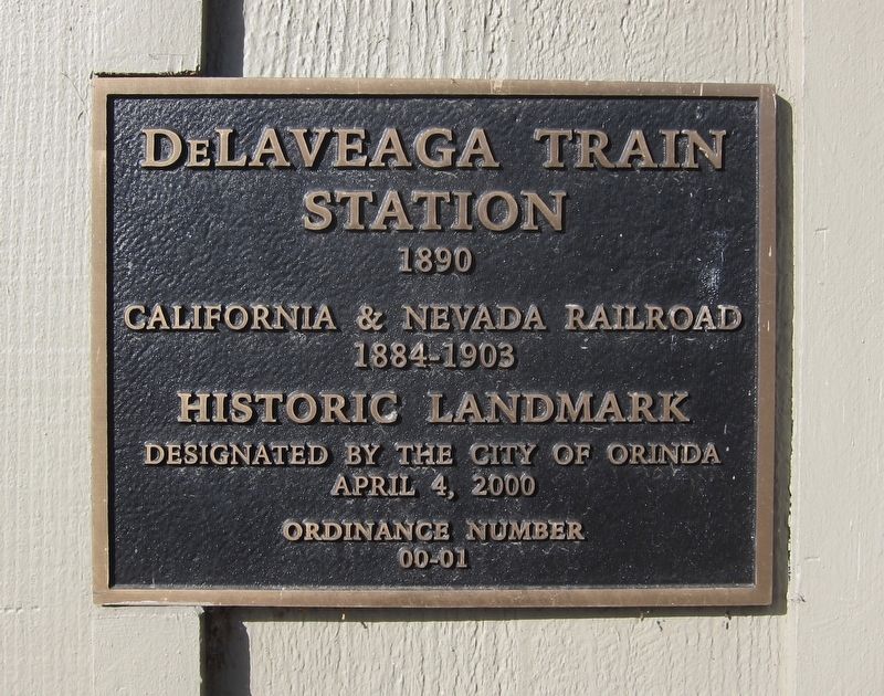
Topics. This historical marker is listed in this topic list: Railroads & Streetcars. A significant historical year for this entry is 1890.
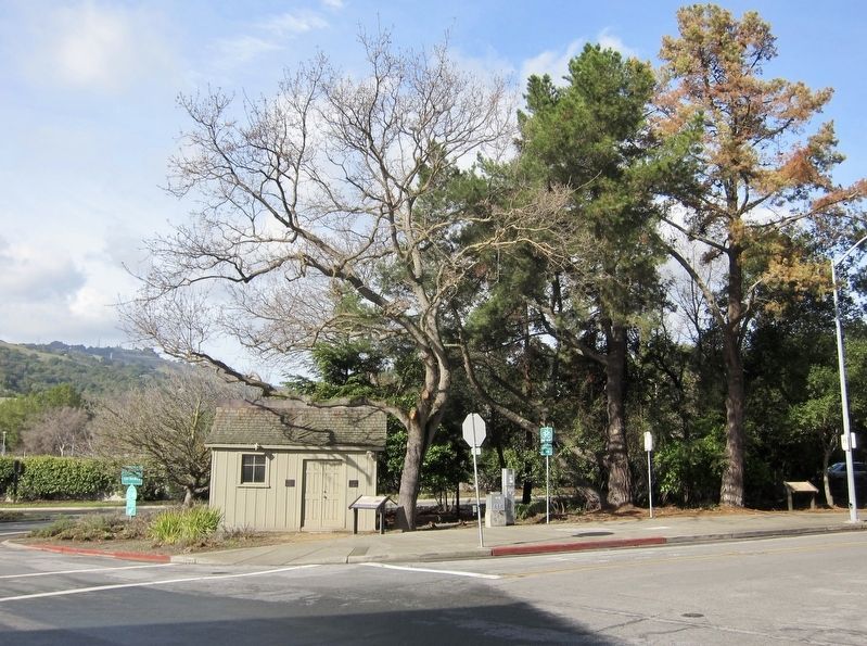
Location. 37° 52.797′ N, 122° 10.887′ W. Marker is in Orinda, California, in Contra Costa County. Marker is at the intersection of Davis Road and Bryant Way, on the left when traveling east on Davis Road. Touch for map. Marker is in this post office area: Orinda CA 94563, United States of America. Touch for directions.
Other nearby markers. At least 8 other markers are within walking distance of this marker. The de Laveaga Station (within shouting distance of this marker); The Orinda Theatre, 1941 (about 400 feet away, measured in a direct line); Bryant Station Site (about 400 feet away); Pony Express (about 800 feet away); a different marker also named The Pony Express (about 800 feet away); The Crossroads (approx. 0.2 miles away); Orinda Mural (approx. 0.2 miles away); The First Downtown (approx. 0.2 miles away). Touch for a list and map of all markers in Orinda.
Credits. This page was last revised on September 10, 2018. It was originally submitted on September 10, 2018, by Andrew Ruppenstein of Lamorinda, California. This page has been viewed 418 times since then and 53 times this year. Photos: 1, 2, 3, 4. submitted on September 10, 2018, by Andrew Ruppenstein of Lamorinda, California.


