Near Kooskia in Idaho County, Idaho — The American West (Mountains)
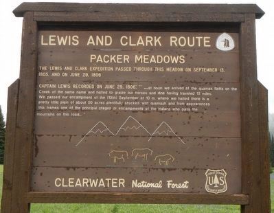
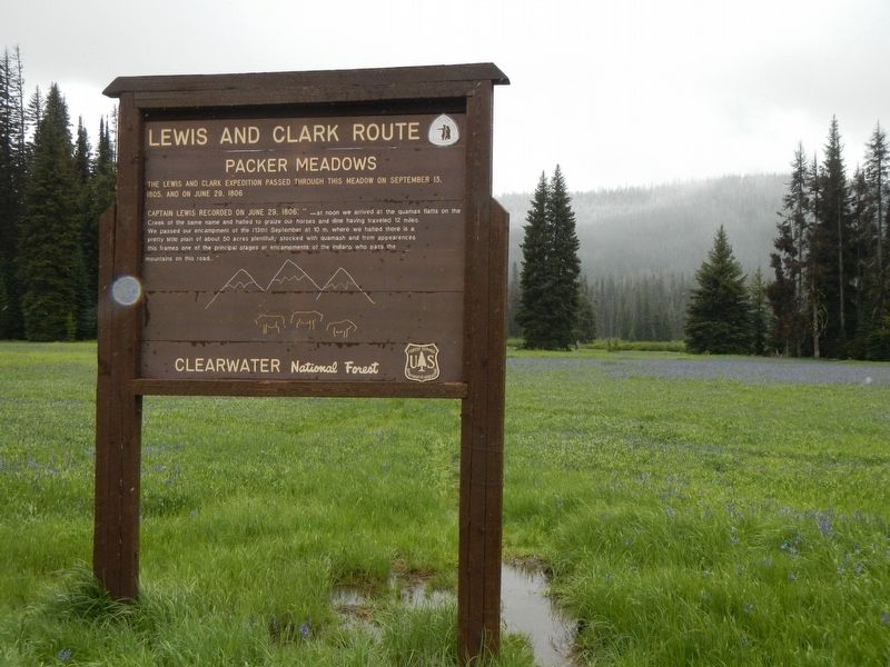
Lewis and Clark Route
Packer Meadows
Erected by U.S. Forest Service, Clearwater National Forest.
Topics and series. This historical marker is listed in this topic list: Exploration. In addition, it is included in the Lewis & Clark Expedition series list. A significant historical date for this entry is June 29, 1806.
Location. 46° 38.276′ N, 114° 33.243′ W. Marker is near Kooskia, Idaho, in Idaho County. Marker is on Elk Meadows Road (Forest Road 373) near Forest Road 5950, on the right when traveling east. Touch for map. Marker is in this post office area: Kooskia ID 83539, United States of America. Touch for directions.
Other nearby markers. At least 8 other markers are within 12 miles of this marker, measured as the crow flies. Lewis and Clark (approx. 1.1 miles away); Lolo Summit (approx. 1.1 miles away); Nez Perce Trail (approx. 1.1 miles away); Lolo Trail Crossing (approx. 3.6 miles away); Checkerboard Legacy (approx. 3.6 miles away); Soldiers as Naturalists (approx. 7.6 miles away in Montana); Cycles and Circles (approx. 10 miles away in Montana); a different marker also named Lewis and Clark Route (approx. 11.8 miles away). Touch for a list and map of all markers in Kooskia.
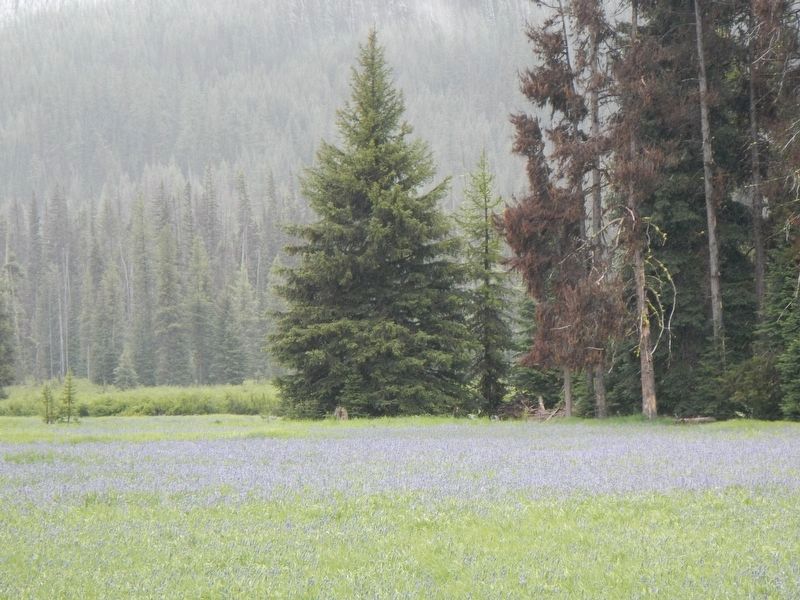
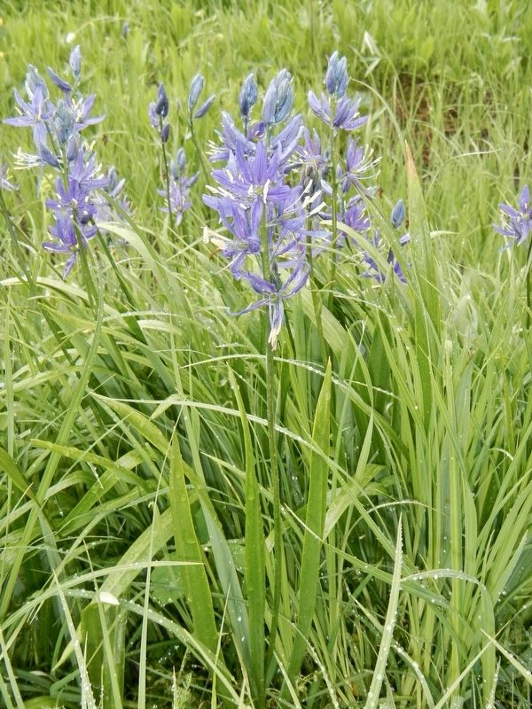
Regarding Lewis and Clark Route. What a beautiful place.
Credits. This page was last revised on September 12, 2018. It was originally submitted on September 12, 2018, by Barry Swackhamer of Brentwood, California. This page has been viewed 266 times since then and 17 times this year. Photos: 1, 2, 3, 4. submitted on September 12, 2018, by Barry Swackhamer of Brentwood, California.


