Franklin in Macon County, North Carolina — The American South (South Atlantic)
William Bartram Naturalist
Naturalist
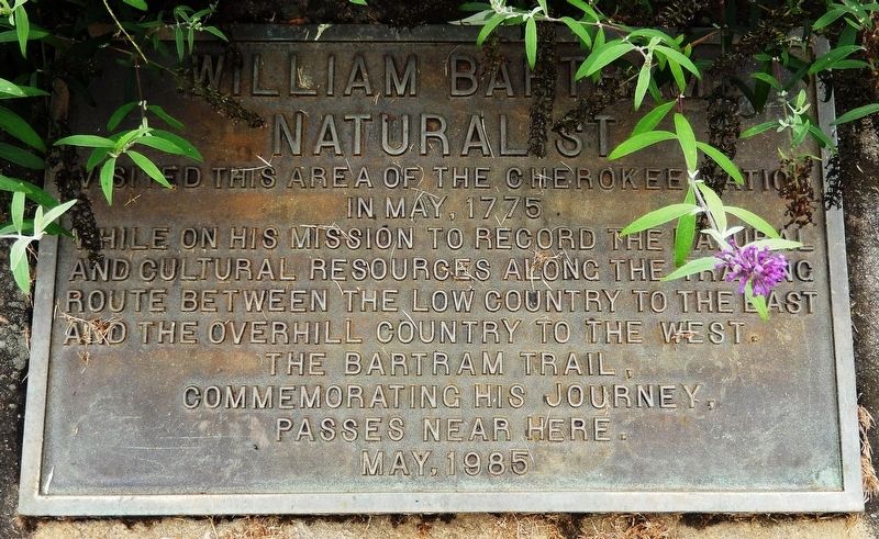
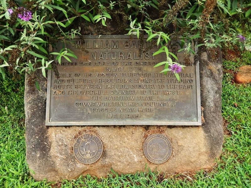
Visited this area of the Cherokee Nation
in May, 1775
while on his mission to record the natural
and cultural resources along the trading
route between the Low Country to the east
and the Overhill Country to the west.
The Bartram Trail,
commemorating his journey,
passes near here.
May, 1985
Erected 1985 by N.C. Bartram Trail Society & The Garden Club of North Carolina.
Topics and series. This historical marker is listed in these topic lists: Colonial Era • Environment • Exploration • Science & Medicine. In addition, it is included in the William Bartram Trails series list. A significant historical month for this entry is May 1775.
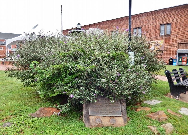
Location. 35° 10.923′ N, 83° 22.865′ W. Marker is in Franklin, North Carolina, in Macon County. Marker is at the intersection of West Main Street (Business U.S. 441) and Iotla St (Local Highway 1323), on the right when traveling west on West Main Street. Marker is located at the southwest corner of Franklin Town Square, facing the intersection. There is a large shrub and other plants around the marker which may partially obscure it during the growing seasons. Touch for map. Marker is in this post office area: Franklin NC 28734, United States of America. Touch for directions.
Other nearby markers. At least 8 other markers are within walking distance of this marker. The North Carolina Bartram Trail (within shouting distance of this marker); Macon County Confederate Memorial (within shouting distance of this marker); Battle of Echoe (within shouting distance of this marker); Dixie Hall (within shouting distance of this marker); Built in 1921 (within shouting distance of this marker); Gem Mining (within shouting distance of this marker); Thomas's Legion (within shouting distance of this marker); Nikwasi Mound (approx. half a mile away). Touch for a list and map of all markers in Franklin.
More about this marker. Marker is a large metal plaque, mounted on a boulder.
Related markers. Click here for a list of markers that are related to this marker. The North Carolina Bartram Trail
Also see . . . William Bartram. North Carolina History Project website entry:
In 1776, Bartram meandered through the present-day Nantahala National Forest in Macon County, and he encountered the Cherokee. After his return to his hometown, the naturalist compiled his notes in a book that was later called Travels through North and South Carolina, Georgia, East and West Florida. The book was published in 1791 and its descriptions of the animals, plants, Native Americans, and geography of the American South intrigued most of the eighteenth century naturalists of America and England. (Submitted on September 12, 2018, by Cosmos Mariner of Cape Canaveral, Florida.)
Credits. This page was last revised on February 28, 2024. It was originally submitted on September 12, 2018, by Cosmos Mariner of Cape Canaveral, Florida. This page has been viewed 301 times since then and 21 times this year. Photos: 1, 2, 3. submitted on September 12, 2018, by Cosmos Mariner of Cape Canaveral, Florida. • Andrew Ruppenstein was the editor who published this page.


