Coopertown in Robertson County, Tennessee — The American South (East South Central)
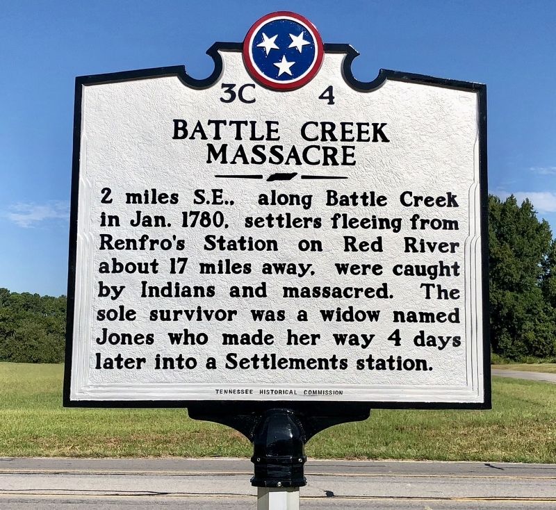
Battle Creek Massacre
Erected 2017 by Tennessee Historical Commission. (Marker Number 3C 4.)
Topics and series. This historical marker is listed in these topic lists: Native Americans • Settlements & Settlers • Waterways & Vessels. In addition, it is included in the Tennessee Historical Commission series list. A significant historical month for this entry is January 1780.
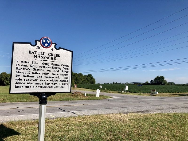
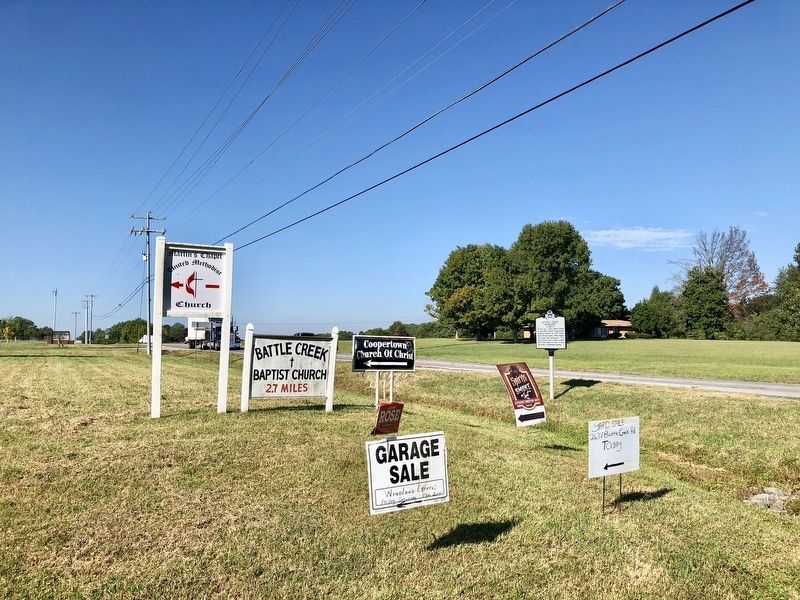
Location. 36° 26.317′ N, 86° 58.163′ W. Marker is in Coopertown, Tennessee, in Robertson County. Marker is at the intersection of Tennessee Route 49 and Old Coopertown Road, on the right when traveling north on State Route 49. Touch for map. Marker is in this post office area: Springfield TN 37172, United States of America. Touch for directions.
Other nearby markers. At least 8 other markers are within 7 miles of this marker, measured as the crow flies. Nave's Crossroads (about 800 feet away, measured in a direct line); Mount Zion (approx. 1.7 miles away); Saint Michael's Mission (approx. 1.7 miles away); Crockett's Station (approx. 2˝ miles away); Pleasant View (approx. 4.8 miles away); Davidson County / Robertson County (approx. 5.1 miles away); Peoples-Tucker School (approx. 6˝ miles away); Springfield Historic District (approx. 6.6 miles away). Touch for a list and map of all markers in Coopertown.
More about this marker. This marker was placed in Coopertown by the State of Tennessee in the mid-1970s, but went missing about 10 years ago and the Coopertown Development Committee paid to erect a new sign in the old one's place, identifying the place where, in 1780, the Choctaw and Chickasaw Indians slaughtered about 20 men, women and children.
Regarding Battle Creek Massacre. History of Battle Creek Massacre by the Battle Creek Baptist Church. The name “Battle Creek” comes from an attack by Choctaws and Chickasaws who massacred 20 settlers enroute from Red River, near Adams, to Eatons Creek Fort, July 1780. This happened on a branch of the Sycamore Creek less than 2 miles from the church.
Col. John Donelson and his party arrived in present day Montgomery County on the 22nd of December 1779, with the destination of the majority of the boats being French Lick Springs, now Nashville. After a perilous journey of nearly four months down the Tennessee, up the Ohio and Cumberland, through a country inhabited by hostile Indians, during one of the severest winters on record, they reached the mouth of the Red River, just below the present site of Clarksville on April 12, 1780. They were anxious to join Captain James Robertson and his company who had built a station and fort at the bluffs with cabins within the stockade for many people.
Moses Renfro and family and Joseph Renfro decided to leave the group and settle on the banks of Red River. Moses, Isaac, Joseph and James Renfro, Nathan and Solomon Turpin, Isaac Mayfield, James Hollis, James Johns and a widow named Jones, with their respective families made up this settlement known as “Renfro’s Station.” Not long afterwards, in June or July of 1780, a party of Choctaws and Chickasaws killed and scalped Nathan Turpin and another man at the station. They felt their isolation and inadequate means of defense and proposed to go to Freeland’s Station or Eaton’s Station. Concealing as many of their goods they could not carry, they set upon their journey, encamping about dusk. At this time, some of the party decided to return for more of their personal effects. By break of day the next morning, they were ready to resume their journey. By night of the second day they reached and encamped upon a small stream
since known as Battle Creek, about two miles north of Sycamore Creek in what is now Robertson County. Preparing to resume their journey early the next morning, Joseph Renfro went to the spring to get a drink and was fired upon by the Indians, who lay concealed in the bushes. About twenty persons were killed, among them Joseph Renfro and James Johns, with his wife and family. The Indians ripped up their beds and took all the horses and other movable property. It is believed that some of those who did not return awaited the return of the party with the goods, and were thus included in the general massacre, while other proceeded on their journey to the upper settlements, reaching their destination in safety. Of those who were attacked, only one escaped to tell the sad tale. This was Mrs. Jones, who, by following the trail of the first party of fugitives, was enabled to reach Eaton’s Station in safety after a perilous journey of about twenty miles through bushes and underbrush. This was the first massacre of any magnitude which occurred in the settlements near the Cumberland, and resulted in the temporary abandonment of Renfro’s Station.
Credits. This page was last revised on September 15, 2018. It was originally submitted on September 15, 2018, by Mark Hilton of Montgomery, Alabama. This page has been viewed 2,664 times since then and 253 times this year. Photos: 1, 2, 3. submitted on September 15, 2018, by Mark Hilton of Montgomery, Alabama.


