Coopertown in Robertson County, Tennessee — The American South (East South Central)
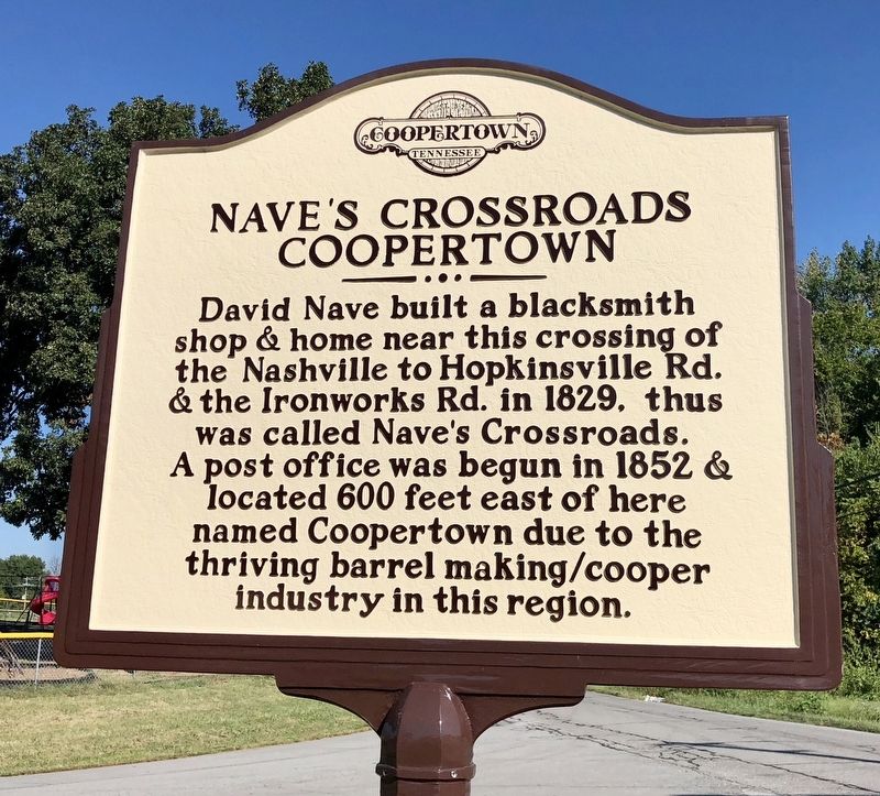
Nave's Crossroads
Coopertown
David Nave built a blacksmith shop & home near this crossing of the Nashville to Hopkinsville Rd. & the Ironworks Rd. in 1829, thus was called Nave's Crossroads. A post office was begun in 1852 & located 600 feet east of here named Coopertown due to the thriving barrel making/cooper industry in this region.
Erected 2017 by the Robertson County Archives.
Topics. This historical marker is listed in these topic lists: Industry & Commerce • Settlements & Settlers. A significant historical year for this entry is 1829.
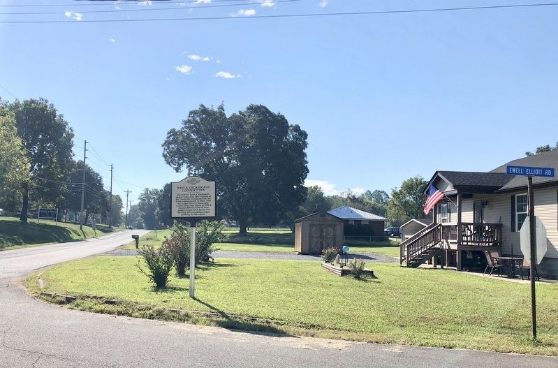
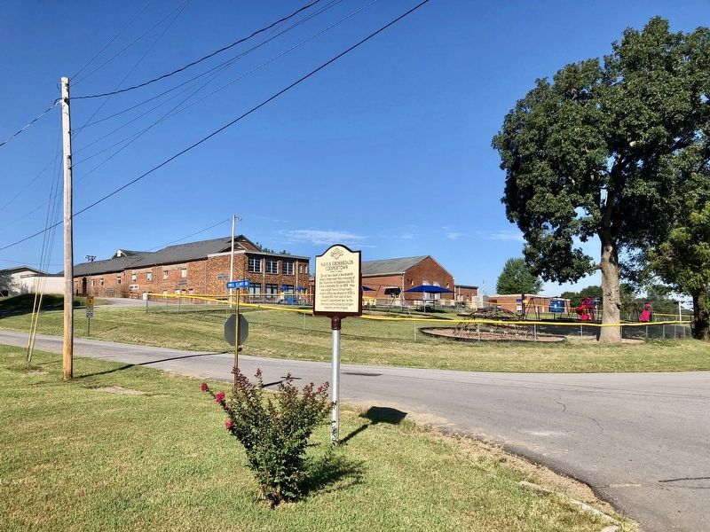
Location. 36° 26.226′ N, 86° 58.058′ W. Marker is in Coopertown, Tennessee, in Robertson County. Marker is at the intersection of Old Coopertown Road and Ewell Elliott Road, on the right when traveling east on Old Coopertown Road. Touch for map. Marker is at or near this postal address: Old Coopertown Road, Springfield TN 37172, United States of America. Touch for directions.
Other nearby markers. At least 8 other markers are within 7 miles of this marker, measured as the crow flies. Battle Creek Massacre (about 800 feet away, measured in a direct line); Mount Zion (approx. 1.7 miles away); Saint Michael's Mission (approx. 1.7 miles away); Crockett's Station (approx. 2.6 miles away); Pleasant View (approx. 4.8 miles away); Davidson County / Robertson County (approx. 5 miles away); Peoples-Tucker School (approx. 6˝ miles away); Morgan's Return (approx. 6.6 miles away). Touch for a list and map of all markers in Coopertown.
Also see . . . History of Coopertown. City website entry (Submitted on September 15, 2018, by Mark Hilton of Montgomery, Alabama.)
Credits. This page was last revised on April 24, 2022. It was originally submitted on September 15, 2018, by Mark Hilton of Montgomery, Alabama. This page has been viewed 496 times since then and 30 times this year. Photos: 1, 2, 3. submitted on September 15, 2018, by Mark Hilton of Montgomery, Alabama.


