Russellville in Logan County, Kentucky — The American South (East South Central)
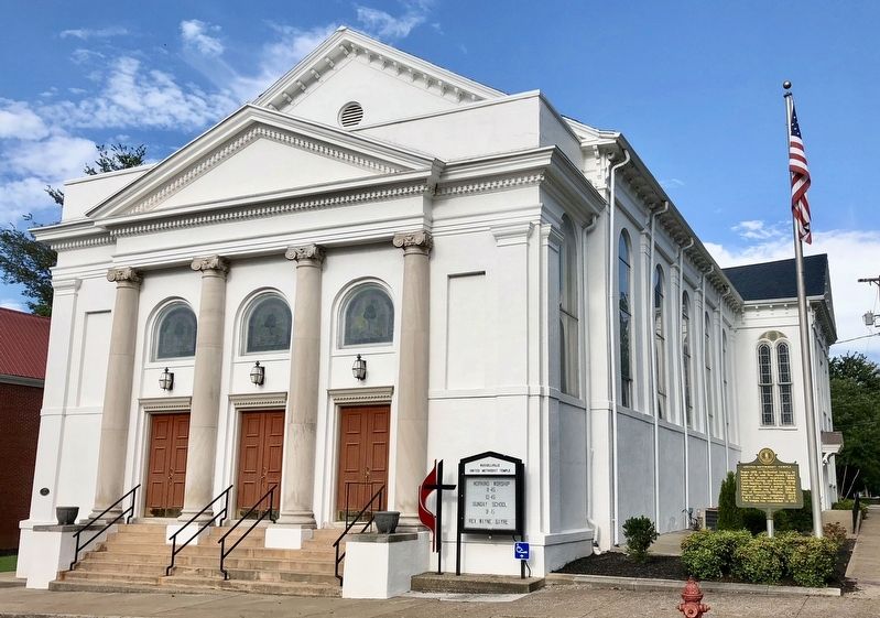
United Methodist Temple
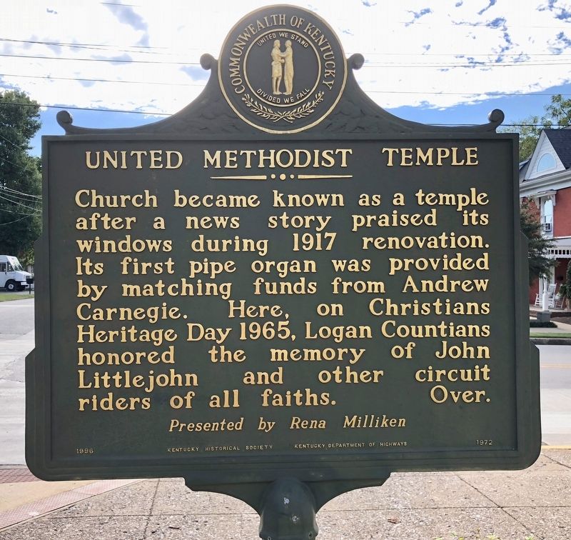
Church became known as a temple after a news story praised its windows during 1917 renovation. Its first pipe organ was provided by matching funds from Andrew Carnegie. Here, on Christians Heritage Day 1965, Logan Countians honored the memory of John Littlejohn and other circuit riders of all faiths.
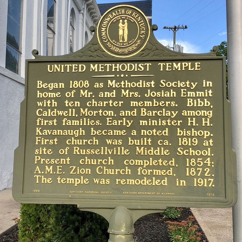
Began 1808 as Methodist Society in home of Mr. and Mrs. Josiah Emmit with ten charter members. Bibb Caldwell, Morton, and Barclay among first families. Early minister H. H. Kavanaugh became a noted bishop. First church was built ca. 1819 at site of Russellville Middle School. Present church completed, 1854; A.M.E. Zion Church formed, 1872. The temple was remodeled in 1917.
Erected 1996 by Kentucky Historical Society, Kentucky Department of Highways. (Marker Number 1972.)
Topics and series. This historical marker is listed in these topic lists: African Americans • Churches & Religion. In addition, it is included in the African Methodist Episcopal Zion (AME Zion) Church, and the Kentucky Historical Society series lists. A significant historical year for this entry is 1917.
Location. 36° 50.561′ N, 86° 53.178′ W. Marker is in Russellville, Kentucky, in Logan County. Marker is at the intersection of East 7th Street and South Main Street, on the right when traveling west on East 7th Street. Touch for map. Marker is at or near this postal address: 395 South Main Street, Russellville KY 42276, United States of America. Touch for directions.
Other nearby markers. At least 8 other markers are within walking distance of this marker. Old Bank, Robbed 1868 (about 400 feet away, measured in a direct line); Townhouse of Maj. Richard Bibb (about 600 feet away); Rhea Stadium (about 600 feet away); O'Bannon House (about 600 feet away); Ken Barrett Field (about 700 feet away); Governors' Corner (about 700 feet away); a different marker also named Governor's Corner (about 700 feet away); 6 Pdr Field Cannon (approx. 0.2 miles away). Touch for a list and map of all markers in Russellville.
Credits. This page was last revised on January 3, 2023. It was originally submitted on September 16, 2018, by Mark Hilton of Montgomery, Alabama. This page has been viewed 264 times since then and 27 times this year. Photos: 1, 2, 3. submitted on September 16, 2018, by Mark Hilton of Montgomery, Alabama.


