Marker Logo HMdb.org THE HISTORICAL
MARKER DATABASE
“Bite-Size Bits of Local, National, and Global History”
Near Auburn in Logan County, Kentucky — The American South (East South Central)
 

McCutchen Meadows


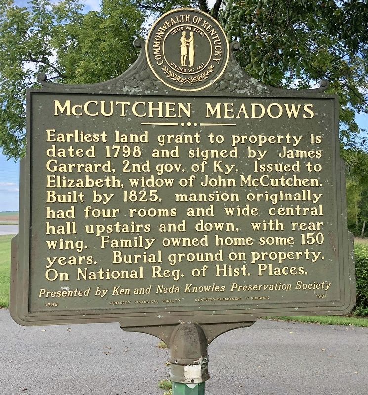
McCutchen Meadows Marker image. Click for full size.
Photographed By Mark Hilton, September 14, 2018
1. McCutchen Meadows Marker
Inscription. Earliest land grant to property is dated 1798 and signed by James Garrard, 2nd gov. of Ky. Issued to Elizabeth, widow of John McCutchen. Built by 1825, mansion originally had four rooms and wide central hall upstairs and down, with rear wing. Family owned home some 150 years. Burial ground on property. On National Reg. of Hist. Places.
Presented by Ken and Neda Knowles Preservation Society.

 
Erected 1995 by Kentucky Historical Society, Kentucky Department of Highways. (Marker Number 1931.)
 
Topics and series. This historical marker is listed in this topic list: Notable Places. In addition, it is included in the Kentucky Historical Society series list. A significant historical year for this entry is 1798.
 
Location. 36° 52.44′ N, 86° 40.956′ W. Marker is near Auburn, Kentucky, in Logan County. Marker is on Bowling Green Road (U.S. 68) half a mile east of Business U.S. 68, on the right when traveling east. Touch for map. Marker is at or near this postal address: 12345 Bowling Green Road, Auburn KY 42206, United States of America. Touch for directions.
 
Other nearby markers. At least 8 other markers are within 3 miles of this marker, measured as the crow flies. Gasper River Meeting House (approx. 1.4 miles away); 1917 Store and Post Office (approx. 1˝ miles away); The Shaker Tavern (approx. 1˝ miles away);
Paid Advertisement
Click on the ad for more information.
Please report objectionable advertising to the Editor.
Click or scan to see
this page online
1869 Shaker Tavern (approx. 1˝ miles away); Site of 1816 Blacksmith Shop (approx. 2.2 miles away); Site of 1856 Post Office (approx. 2.2 miles away); Site of 1841 Trustees Office (approx. 2.2 miles away); Site of 1824 Cistern (approx. 2.2 miles away). Touch for a list and map of all markers in Auburn.
 
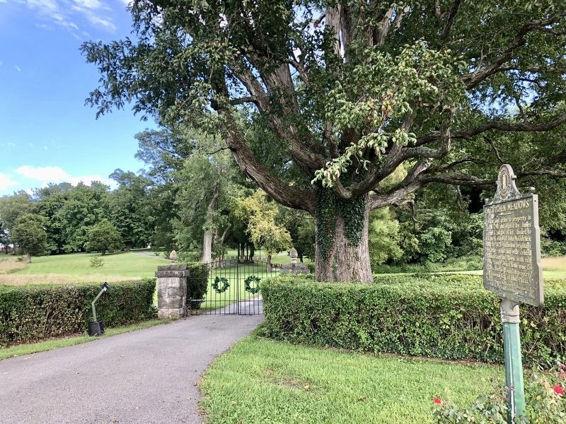
Entrance to the McCutchen Meadows home. image. Click for full size.
Photographed By Mark Hilton, September 14, 2018
2. Entrance to the McCutchen Meadows home.
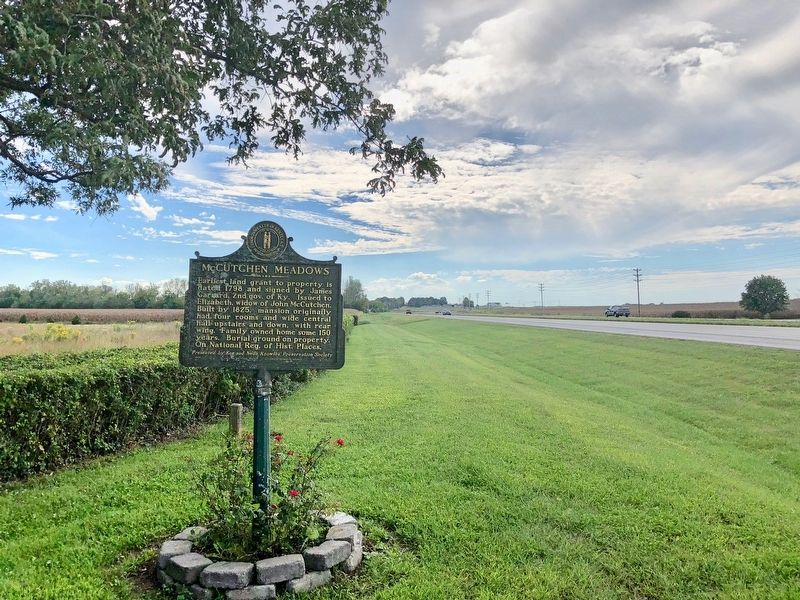
The view back west towards Russellville. image. Click for full size.
Photographed By Mark Hilton, September 14, 2018
3. The view back west towards Russellville.
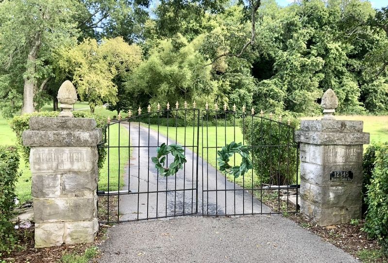
McCutchen (left) and Meadows (right) can be seen on the entrance gate pillars. image. Click for full size.
Photographed By Mark Hilton, September 14, 2018
4. McCutchen (left) and Meadows (right) can be seen on the entrance gate pillars.
 
 
Credits. This page was last revised on November 3, 2020. It was originally submitted on September 16, 2018, by Mark Hilton of Montgomery, Alabama. This page has been viewed 397 times since then and 43 times this year. Photos:   1, 2, 3, 4. submitted on September 16, 2018, by Mark Hilton of Montgomery, Alabama.
Share this page.  
Share on Tumblr
m=123374

CeraNet Cloud Computing sponsors the Historical Marker Database.
This website earns income from purchases you make after using our links to Amazon.com. We appreciate your support.
Paid Advertisement
Apr. 24, 2024