Leitchfield in Grayson County, Kentucky — The American South (East South Central)
Shaw's Station / Beaver Dam Creek Baptist Church
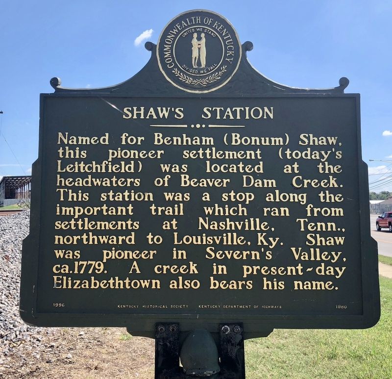
Named for Benham (Bonum) Shaw, this pioneer settlement (today's Leitchfield) was located at the headwaters of Beaver Dam Creek. This station was a stop along the important trail which ran from settlements at Nashville, Tenn., northward to Louisville, Ky. Shaw was pioneer in Severn's Valley, ca.1779. A creek in present-day Elizabethtown also bears his name.
{reverse}
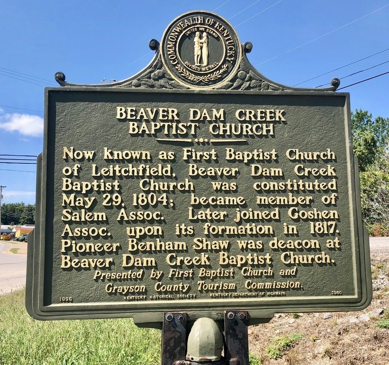
Baptist Church
Now known as First Baptist Church of Leitchfield, Beaver Dam Creek Baptist Church was constituted May 29, 1804; became member of Salem Assoc. Later joined Goshen Assoc. upon its formation in 1817. Pioneer Benham Shaw was deacon at Beaver Dam Creek Baptist Church.
Grayson County Tourism Commission.
Erected 1996 by Kentucky Historical Society, Kentucky Department of Highways. (Marker Number 1980.)
Topics and series. This historical marker is listed in these topic lists: Churches & Religion • Roads & Vehicles • Settlements & Settlers • Waterways & Vessels. In addition, it is included in the Kentucky Historical Society series list. A significant historical date for this entry is May 29, 1804.
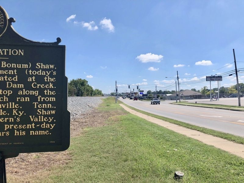
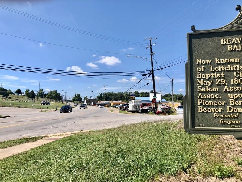
Location. 37° 29.151′ N, 86° 16.489′ W. Marker is in Leitchfield, Kentucky, in Grayson County. Marker is at the intersection of Elizabethtown Road (U.S. 62) and Shaw Station Road, on the right when traveling west on Elizabethtown Road. Touch for map. Marker is at or near this postal address: 900 Elizabethtown Road, Leitchfield KY 42754, United States of America. Touch for directions.
Other nearby markers. At least 8 other markers are within 12 miles of this marker, measured as the crow flies. Leitchfield Landmarks (approx. one mile away); Jack Thomas House (approx. one mile away); County Named, 1810 (approx. 1.1 miles away); Grayson County World War II Memorial (approx. 1.1 miles away); Grayson County Korean War Memorial (approx. 1.1 miles away); Grayson County WWI War Memorial (approx. 1.1 miles away); “The Cedars” (approx. 1.3 miles away); Nolin Furnace / Iron Made in Kentucky (approx. 11.7 miles away). Touch for a list and map of all markers in Leitchfield.
Also see . . . Explore Kentucky History about Shaw's Station. (Submitted on September 18, 2018, by Mark Hilton of Montgomery, Alabama.)
Credits. This page was last revised on September 18, 2018. It was originally submitted on September 18, 2018, by Mark Hilton of Montgomery, Alabama. This page has been viewed 294 times since then and 43 times this year. Photos: 1, 2, 3, 4. submitted on September 18, 2018, by Mark Hilton of Montgomery, Alabama.


