Near Stevensville in Ravalli County, Montana — The American West (Mountains)
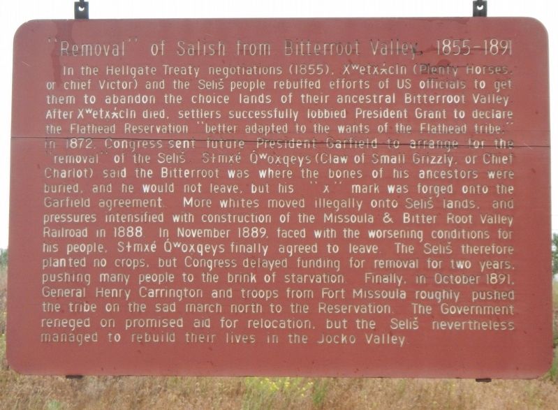
"Removal" of Salish from Bitterroot Valley, 1855-1891
Inscription.
In the Hellgate Treaty negotiations (1855), Xwetxxcln (Plenty Horses or chief Victor) and the Selíš people rebuffed efforts of US officials to get them to abandon the choice lands of their ancestral Bitterroot Valley. After Xwetxxcln died, settlers successfully lobbied President Grant to declare the Flathead Reservation "better adapted to the wants of the Flathead tribe" in 1872. Congress sent future President Garfield to arrange for the removal of the Selíš. Stmxé Owoxqeys (Claw of Small Grizzly or Chief Chariot) said the Bitterroot was where the bones of his ancestors were buried, and he would not leave, but his "x" mark was forged onto the Garfield agreement. More whites moved illegally onto Selíš lands, and pressures intensified with construction of the Missoula & Bitter Root Valley Railroad in 1888. In November 1889, faced with the worsening condition for his people, Stmxé Owoxqeys finally agreed to leave. The Selíš therefore planted no crops, but Congress delayed funding for removal for two years, pushing many people to the brink of starvation. Finally, in October 1891, General Henry Carrington and troops from Fort Missoula roughly pushed the tribe on the sad march north to the Reservation. The Government reneged on the promised aid for relocation, but the Selíš nevertheless managed to rebuild their lives in the Jocko Valley.
Erected by Montana Department of Transportation.
Topics and series. This historical marker is listed in this topic list: Native Americans. In addition, it is included in the Former U.S. Presidents: #18 Ulysses S. Grant, and the Former U.S. Presidents: #20 James A. Garfield series lists.
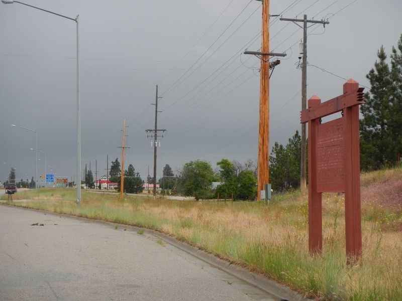
Location. 46° 31.075′ N, 114° 6.978′ W. Marker is near Stevensville, Montana, in Ravalli County. Marker is on Highway 93 near Heritage Drove, on the left when traveling south. Touch for map. Marker is at or near this postal address: 3840 US Highway 93, Stevensville MT 59870, United States of America. Touch for directions.
Other nearby markers. At least 8 other markers are within 2 miles of this marker, measured as the crow flies. Fort Owen State Monument (approx. 0.9 miles away); Welcome to Fort Owen (approx. 0.9 miles away); Saint Mary's Mission (approx. 1.1 miles away); St. Mary's Mission Historic District (approx. 1.1 miles away); Hunter Building (approx. 1.2 miles away); IOOF Hall (approx. 1.2 miles away); Thorton Building (approx. 1.2 miles away); Gleason Building (approx. 1.2 miles away). Touch for a list and map of all markers in Stevensville.
Credits. This page was last revised on September 19, 2018. It was originally submitted on September 19, 2018, by Barry Swackhamer of Brentwood, California. This page has been viewed 469 times since then and 35 times this year. Photos: 1, 2. submitted on September 19, 2018, by Barry Swackhamer of Brentwood, California.

