Near Darby in Ravalli County, Montana — The American West (Mountains)
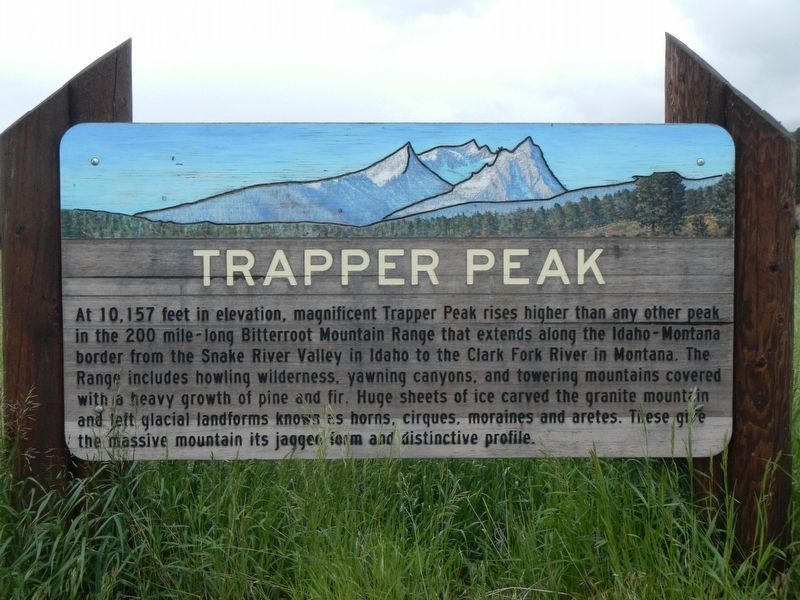
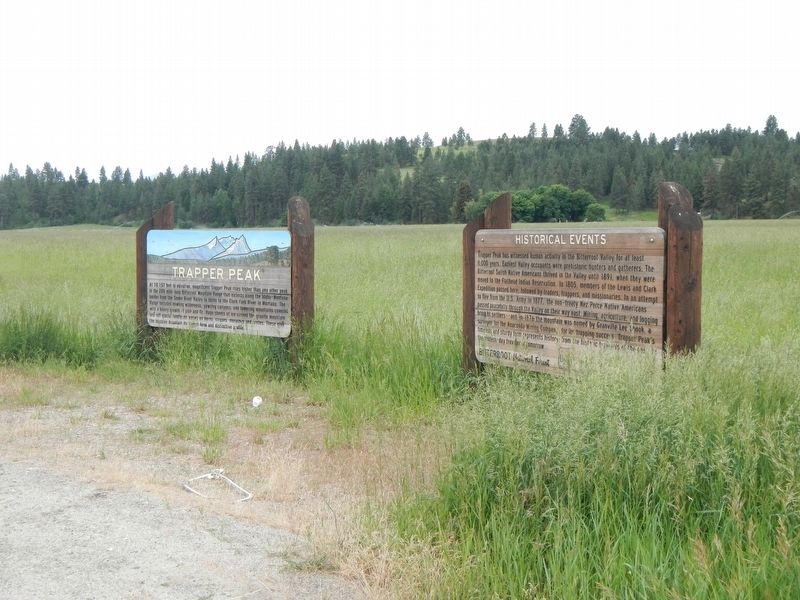
Trapper Peak
At 10,157 feet in elevation, magnificent Trapper Peak rises higher than any other peak in the 200 mile-long Bitterroot Mountain Range that extends along the Idaho-Montana border from the Snake River Valley in Idaho to the Clark Fork River in Montana. The Range included howling wilderness, yawning canyons, and towering mountains covered with a heavy growth of pine and fir. Huge sheets of ice carved the granite mountain and left glacial landforms known as horns, cirques, moraines and aretes. These give the massive mountain its jagged form and distinctive profile.
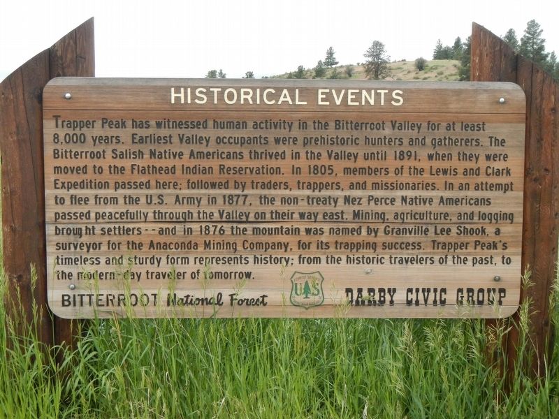
Historical Events
Trapper Peak has witnessed human activity in the Bitterroot Valley for at least 8,000 years. Earliest Valley occupants were prehistoric hunters and gatherers. The Bitterroot Salish Native Americans thrived in the Valley until 1891, when they were moved to the Flathead Indian Reservation. In 1805, members of the Lewis and Clark Expedition passed here; followed by traders, trappers, and missionaries. In an attempt to flee from the U.S. Army in 1877, the non-treaty Nez Perce Native Americans passed peacefully through the Valley on their way east. Mining, agriculture, and logging brought settlers -- and in 1876 the mountain was named by Granville Lee Shook, a surveyor for the Anaconda Mining Company, for its trapping success. Trapper Peak's tiimeless and sturdy form represents history; from the historic travelers of the past to the modern-day traveler of tomorrow.
Erected by U.S. Forest Service, Bitterroot National Forest; Darby Civic Group.
Topics. This historical marker is listed in this topic list: Natural Features. A significant historical year for this entry is 1891.
Location. 45° 58.878′ N, 114° 9.582′ W. Marker is near Darby, Montana, in Ravalli County. Marker can be reached from U.S. 93 near Lake Louise Lane, on the right when traveling south. Touch for map. Marker is at or near this postal address: 3965 US 93, Darby MT 59829, United States of America. Touch for directions.
Other nearby markers. At least 8 other markers are within 14 miles of this marker, measured as the crow flies. Big Horn Sheep Conservation (approx. 11.1 miles away); Lewis and Clark at Ross' Hole (approx. 13.2 miles away); Ross' Hole (approx. 13.2 miles away); First Impressions (approx. 13.3 miles away); Survival (approx. 13.3 miles away); Mountains on the Move (approx. 13.3 miles away); The Great Clearing (approx. 13.3 miles away); Join the Voyage of Discovery (approx. 13.3 miles away).
Credits. This page was last revised on September 21, 2018. It was originally submitted on September 21, 2018, by Barry Swackhamer of Brentwood, California. This page has been viewed 575 times since then and 49 times this year. Photos: 1, 2, 3. submitted on September 21, 2018, by Barry Swackhamer of Brentwood, California.
Editor’s want-list for this marker. Photograph of Trappers Peak, it was cloudy and raining when I was there. • Can you help?


