Rogers City in Presque Isle County, Michigan — The American Midwest (Great Lakes)
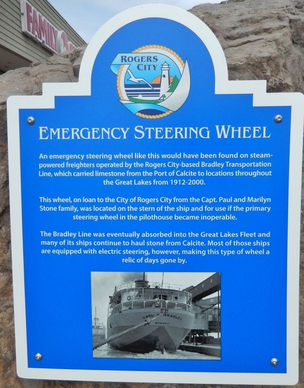
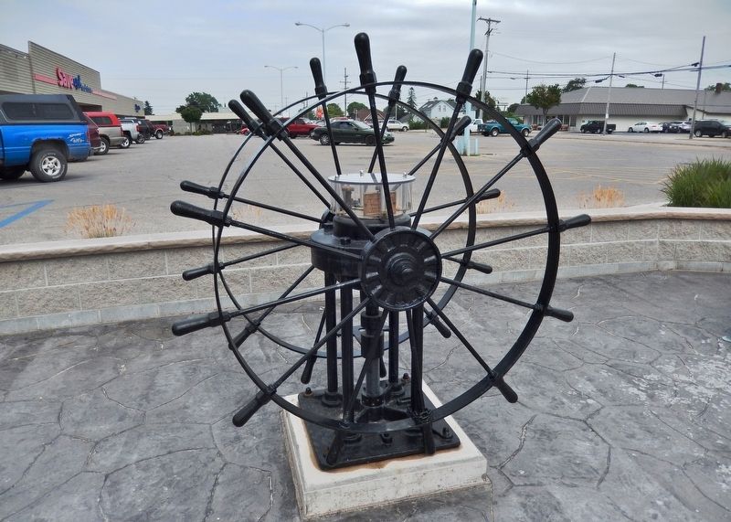
Emergency Steering Wheel
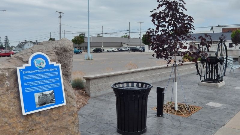
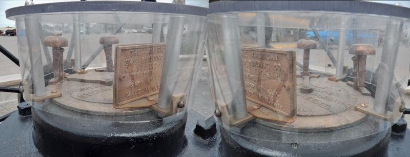
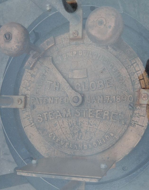
This wheel, on loan to the City of Rogers City from the Capt. Paul and Marilyn Stone family, was located on the stern of the ship and for use if the primary steering wheel in the pilothouse became inoperable.
The Bradley Line was eventually absorbed into the Great Lakes Fleet and many of its ships continue to haul stone from Calcite. Most of those ships are equipped with electric steering, however, making this type of wheel a relic of days gone by.
Topics. This historical marker is listed in these topic lists: Industry & Commerce • Waterways & Vessels.
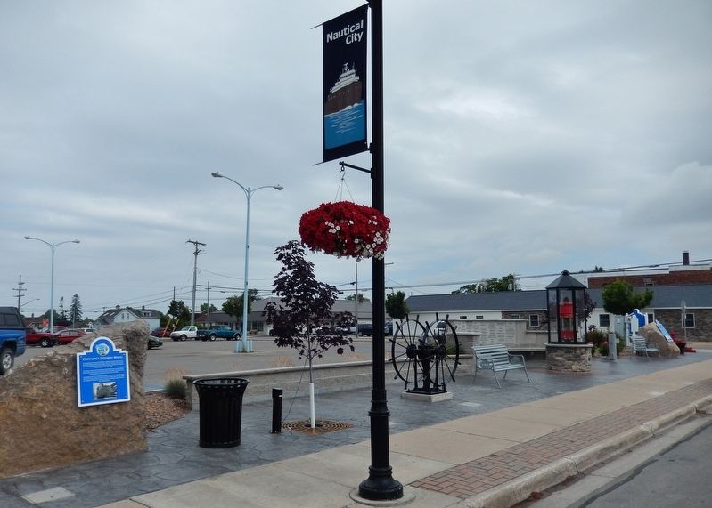
Location. 45° 25.185′ N, 83° 48.948′ W. Marker is in Rogers City, Michigan, in Presque Isle County. Marker is on North 3rd Street (Alternate U.S. 23) north of Erie Street, on the right when traveling north. Marker is mounted at waist-level, on a large boulder located along the sidewalk, just south of the 3rd Street parking lot entrance for a small commercial strip mall. Marker is facing 3rd Street. Touch for map. Marker is at or near this postal address: 116 East Erie Street, Rogers City MI 49779, United States of America. Touch for directions.
Other nearby markers. At least 8 other markers are within walking distance of this marker. Port of Calcite Entry Light (a few steps from this marker); Site of Emil & Lizzie Poch Hardware Store (a few steps from this marker); Site of Bertram Building (within shouting distance of this marker); Site of Gumm Furniture Store (within shouting distance of this marker); Site of Rogers City's First Flour Mill (within shouting distance of this marker); Rogers City Post Office (within shouting distance of this marker); Site of Presque Isle County Savings Bank (about 300 feet away, measured in a direct line); Herman Hoeft & Son's General Store (about 400 feet away). Touch for a list and map of all markers in Rogers City.
Related markers. Click here for a list of markers that are related to this marker. Rogers City Historic Walking Tour
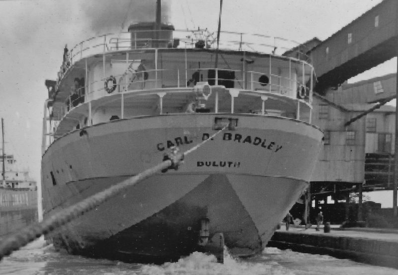
Also see . . . Lost To The Lake: The Wreck of the Carl D. Bradley. Known as "Queen of the Lakes", the Carl D. Bradley was the largest ship on the Great Lakes from 1927 to 1949. The largest self-unloading ship for its time, the Bradley was the Bradley Transportation Company’s flagship. Named after the president of Michigan Limestone, Carl David Bradley, this state of the art freighter had its maiden voyage in the summer of 1927. Since Michigan Limestone’s company base was in Rogers City, Michigan, the freighter drew most of its crew from this small community. Not only did these ships keep industrial centers supplied with iron ore, limestone, coal and grain, many of them were tragically lost to the lake. The most famous of these vessels is the SS Edmund Fitzgerald, which went down in 1975 in Lake Superior. Yet seventeen years earlier, the freighter SS Carl D. Bradley also sank in a November storm with an even greater loss of life. (Submitted on September 25, 2018, by Cosmos Mariner of Cape Canaveral, Florida.)
Credits. This page was last revised on October 17, 2018. It was originally submitted on September 23, 2018, by Cosmos Mariner of Cape Canaveral, Florida. This page has been viewed 262 times since then and 23 times this year. Photos: 1, 2, 3, 4, 5, 6. submitted on September 25, 2018, by Cosmos Mariner of Cape Canaveral, Florida. 7. submitted on October 11, 2018, by Cosmos Mariner of Cape Canaveral, Florida. • Andrew Ruppenstein was the editor who published this page.
