Near Cuero in DeWitt County, Texas — The American South (West South Central)
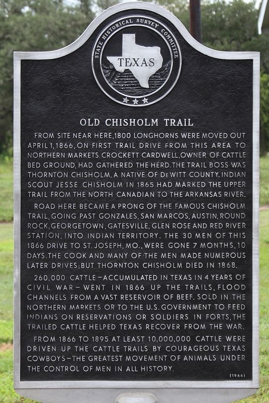
Old Chisholm Trail
Road here became a prong of the famous Chisholm Trail, going past Gonzales, San Marcos, Austin, Round Rock, Georgetown, Gatesville, Glen Rose and Red River Station, into Indian territory. The 30 men of this 1866 drive to St. Joseph, Mo., were gone 7 months, 10 days. The cook and many of the men made numerous later drives; but Thornton Chisholm died in 1868.
260,000 cattle - accumulated in Texas in 4 years of Civil War - went in 1866 up the trails, flood channels from a vast reservoir of beef. Sold in northern markets or to the U.S. Government to feed Indians on reservations or soldiers in forts, the trailed cattle helped Texas recover from the war.
From 1866 to 1895 at least 10,000,000 cattle were driven up the cattle trails by courageous Texas cowboys - the greatest movement of animals under the control of men in all history.
Erected 1966 by State Historical Survey Committee. (Marker Number 3705.)
Topics. This historical marker is listed in these topic lists: Agriculture • Animals • Roads & Vehicles. A significant historical date for this entry is April 1, 1866.
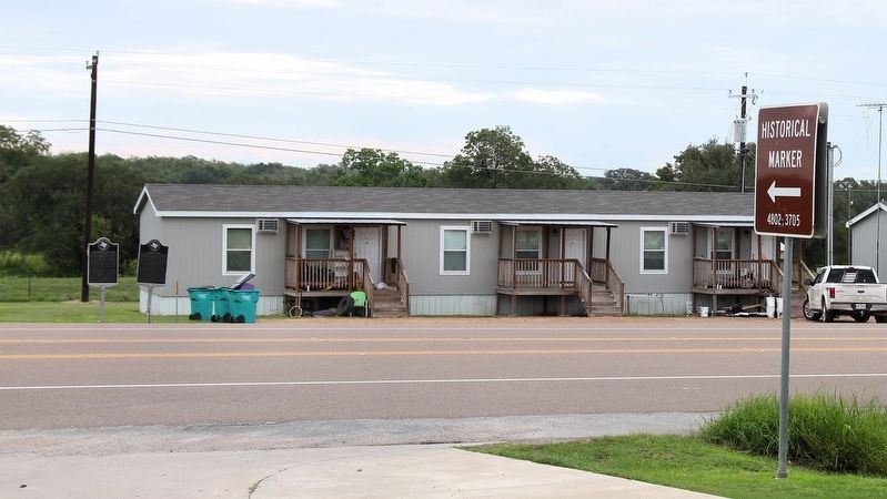
Location. 29° 7.877′ N, 97° 16.558′ W. Marker is near Cuero, Texas, in DeWitt County. Marker is at the intersection of U.S. 183 and Lakeside Drive, on the right when traveling north on U.S. 183. Touch for map. Marker is in this post office area: Cuero TX 77954, United States of America. Touch for directions.
Other nearby markers. At least 8 other markers are within 3 miles of this marker, measured as the crow flies. Friar-Cardwell Stage Stand (here, next to this marker); Alex and Clare Wofford Hamilton House (approx. 2.4 miles away); Alexander and Annie Hamilton House (approx. 2.4 miles away); Charles Goodwin Breeden (approx. 2˝ miles away); Hillside Cemetery (approx. 2˝ miles away); Judge Henry Clay Pleasants (approx. 2˝ miles away); Thomas M. Stell (approx. 2.6 miles away); The Robert Allert House (approx. 2.6 miles away). Touch for a list and map of all markers in Cuero.
Credits. This page was last revised on November 2, 2018. It was originally submitted on September 24, 2018, by Larry D. Moore of Del Valle, Texas. This page has been viewed 566 times since then and 53 times this year. Last updated on October 29, 2018, by Brian Anderson of Humble, Texas. Photos: 1, 2. submitted on September 24, 2018, by Larry D. Moore of Del Valle, Texas. • Andrew Ruppenstein was the editor who published this page.

