Near Wisdom in Beaverhead County, Montana — The American West (Mountains)
Siege Site
Inscription.
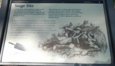
In front of you on the morning of August 9, 1877, you would have seen soldiers and Montana volunteers pass by as they began to deploy for the coming attack on the Nez Perce encampment just through the trees.
Following the army's surprise attack, the Nez Perce mounted a fierce counter-offensive. Here soldiers frantically dug rifle pits as warriors surrounded them. Low mounds and shallow ditches are the only evidence of the desperate fighting that centered on this pine thicket.
(Captain Rawn and his company) met the main body trying to entrench, by throwing up dirt, the rice trowel bayonet for that purpose. One man would scrape up the dirt while every second man would continue to fire.... We now lay in a square probably forty feet each way, the Indians on every side, and not a man expecting to leave alive. - Corp. Charles N. Loynes, U.S. Army
Erected by National Park Service.
Topics and series. This historical marker is listed in these topic lists: Military • Native Americans • Wars, US Indian. In addition, it is included in the The Nez Perce Trail series list. A significant historical date for this entry is August 9, 1877.
Location. 45° 38.862′ N, 113° 39.114′ W. Marker is near Wisdom, Montana, in Beaverhead County. Marker can be reached from Park Entrance Road near State Highway 43, on the left when traveling east. Touch for map. Marker is at or near this postal address: 16425 Montana Highway 43, Wisdom MT 59761, United States of America. Touch for directions.
Other nearby markers. At least 7 other markers are within 16 miles of this marker, measured as the crow flies. Brave Warriors (a few steps from this marker); Big Hole National Battlefield Monument (within shouting distance of this marker); A Perfect Place to Rest (about 600 feet away, measured in a direct line); Battlefield Landscape (approx. 0.6 miles away); A Story of Fires... to be continued (approx. 6.2 miles away); Natural Travel Corridor (approx. 7.8 miles away); Big Hole Valley (approx. 16.1 miles away).
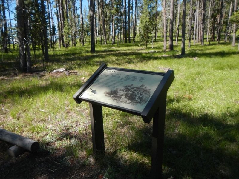
More about this marker. This marker is located on the Siege Area Trail in Big Hole National Battlefield.
Credits. This page was last revised on September 24, 2018. It was originally submitted on September 24, 2018, by Barry Swackhamer of Brentwood, California. This page has been viewed 254 times since then and 16 times this year. Photos: 1, 2. submitted on September 24, 2018, by Barry Swackhamer of Brentwood, California.

