Near Mexico in Crittenden County, Kentucky — The American South (East South Central)
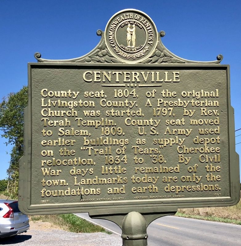
Centerville
Erected 1967 by the Kentucky Historical Society, Kentucky Department of Highways. (Marker Number 1097.)
Topics and series. This historical marker is listed in these topic lists: Churches & Religion • Native Americans • Political Subdivisions • Settlements & Settlers. In addition, it is included in the Kentucky Historical Society series list. A significant historical year for this entry is 1804.
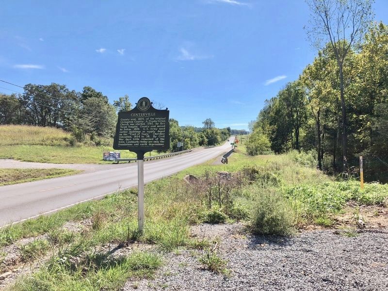
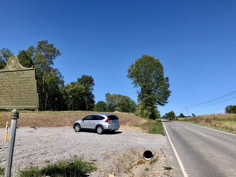
Location. 37° 13.672′ N, 88° 4.558′ W. Marker is near Mexico, Kentucky, in Crittenden County. Marker is on U.S. 641, 0.1 miles south of Hastings Lane, on the right when traveling south. Touch for map. Marker is at or near this postal address: 6751 US-641, Fredonia KY 42411, United States of America. Touch for directions.
Other nearby markers. At least 8 other markers are within 6 miles of this marker, measured as the crow flies. Centreville Livingston Presbyterian Church Cemetery (approx. 0.7 miles away); Patriot Burials (approx. 0.7 miles away); a different marker also named Patriot Burials (approx. 0.7 miles away); Fredonia (approx. 1.7 miles away); Chapel Hill Presbyterian Church / Pioneer Church (approx. 4.9 miles away); Crittenden Furnace (approx. 5.7 miles away); Piney Fork Cumberland Presbyterian Church (approx. 5.9 miles away); Original Site of Piney Fork Cumberland Presbyterian Church & School (approx. 6.1 miles away).
Credits. This page was last revised on September 25, 2018. It was originally submitted on September 25, 2018, by Mark Hilton of Montgomery, Alabama. This page has been viewed 320 times since then and 59 times this year. Photos: 1, 2, 3. submitted on September 25, 2018, by Mark Hilton of Montgomery, Alabama.


