South Woodstock
Woodstock Tercentenary (1686 - 1986)
Front
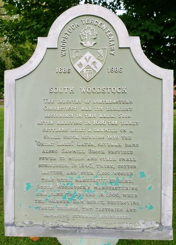
The industry of northeastern Connecticut had its earliest beginnings in this area, Soon after arriving in 1686 the early settlers built a sawmill on a small brook running into the “Great Lake.” Later several dams along Sawmill Brook provided power to mills and other small businesses. In 1845, twine, cotton batting, and over 6,000 wooden tubs were manufactured here. South Woodstock’s manufacturing era came to an end in 1866, when the Warner Dam burst, destroying three bridges, two factories and damaging several businesses.
Donated by Linemaster Switch Corp. October 23, 1986
In celebration of Woodstock’s 300 anniversary
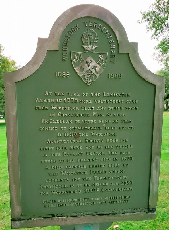
At the time of the Lexington
alarm in 1775 more volunteers came
from Woodstock than any other town
in Connecticut. Mrs. Samuel
McClellan planted elms on this
common to commemorate that event.
In 1859 the Woodstock
Agricultural Society held its
first fair here and in the vestry
of the Baptist Church, The Fair
moved to its present site in 1870.
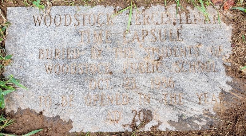
A time capsule buried here by
The Woodstock Public School
students and The Tercentenary
Committee, is to be opened A.D. 2086
For Woodstock’s 400th anniversary.
Erected 1986 by Woodstock Tercentenary Committee.
Topics and series. This historical marker
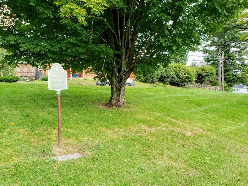
Location. 41° 56.339′ N, 71° 57.589′ W. Marker is in Woodstock, Connecticut, in Windham County. It is in South Woodstock. Marker is at the intersection of Stone Bridge Road and Route 169 on Stone Bridge Road. Touch for map. Marker is in this post office area: Woodstock CT 06281, United States of America. Touch for directions.
Other nearby markers. At least 8 other markers are within 2 miles of this marker, measured as the crow flies. Quasset School (approx. 0.3 miles away); Plaine Hill (approx. 0.9 miles away); Town of Woodstock War Memorial I (approx. one mile away); Town of Woodstock War Memorials (approx. one mile away); Henry C. Bowen House (approx. 1.1 miles away); Woodstock (approx. 1.1 miles away); The Woodstock Academy (approx. 1.1 miles away); Pulpit Rock Road (approx. 1.2 miles away). Touch for a list and map of all markers in Woodstock.
Credits. This page was last revised on February 10, 2023. It was originally submitted on September 19, 2018. This page has been viewed 228 times since then and 33 times this year. Last updated on September 25, 2018. Photos: 1, 2, 3. submitted on September 19, 2018. 4. submitted on October 7, 2018. • Andrew Ruppenstein was the editor who published this page.


