Fredonia in Caldwell County, Kentucky — The American South (East South Central)
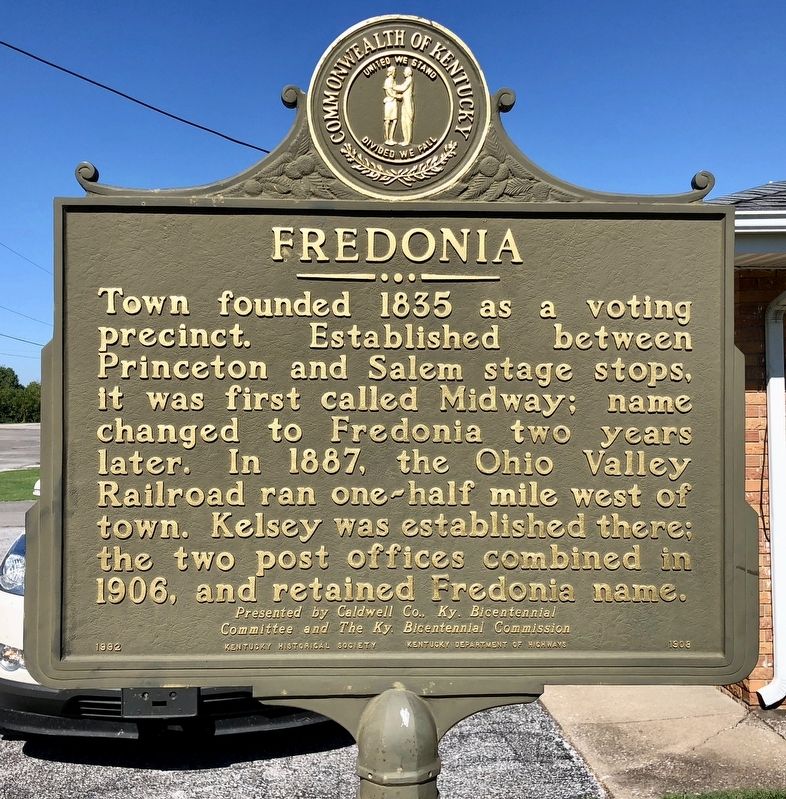
Fredonia
Committee and The Ky. Bicentennial Commission.
Erected 1992 by the Kentucky Historical Society, Kentucky Department of Highways. (Marker Number 1908.)
Topics and series. This historical marker is listed in these topic lists: Railroads & Streetcars • Settlements & Settlers. In addition, it is included in the Kentucky Historical Society series list. A significant historical year for this entry is 1835.
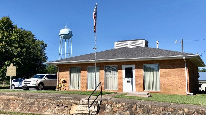
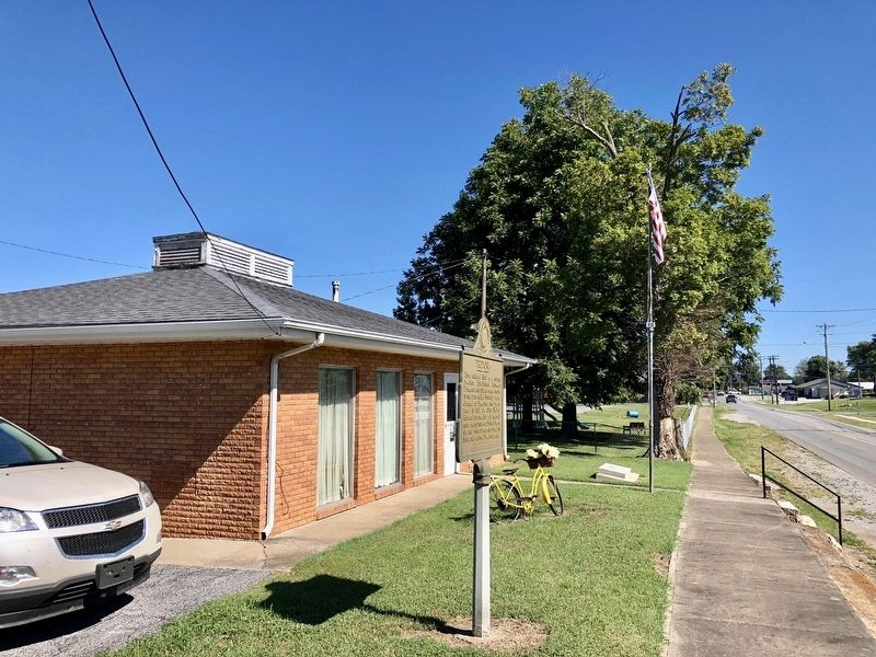
Location. 37° 12.443′ N, 88° 3.509′ W. Marker is in Fredonia, Kentucky, in Caldwell County. Marker is at the intersection of Cassidy Avenue and Shelby Street, on the right when traveling south on Cassidy Avenue. Touch for map. Marker is at or near this postal address: 312 Cassidy Avenue, Fredonia KY 42411, United States of America. Touch for directions.
Other nearby markers. At least 8 other markers are within 7 miles of this marker, measured as the crow flies. Patriot Burials (approx. 1.3 miles away); a different marker also named Patriot Burials (approx. 1.3 miles away); Centreville Livingston Presbyterian Church Cemetery (approx. 1.3 miles away); Centerville (approx. 1.7 miles away); Crittenden Furnace (approx. 6.1 miles away); Piney Fork Cumberland Presbyterian Church (approx. 6.6 miles away); Chapel Hill Presbyterian Church / Pioneer Church (approx. 6.6 miles away); Original Site of Piney Fork Cumberland Presbyterian Church & School (approx. 6.7 miles away). Touch for a list and map of all markers in Fredonia.
Credits. This page was last revised on September 25, 2018. It was originally submitted on September 25, 2018, by Mark Hilton of Montgomery, Alabama. This page has been viewed 305 times since then and 37 times this year. Photos: 1, 2, 3. submitted on September 25, 2018, by Mark Hilton of Montgomery, Alabama.


