Frankfort in Franklin County, Kentucky — The American South (East South Central)
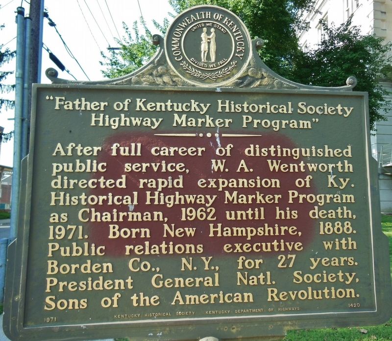
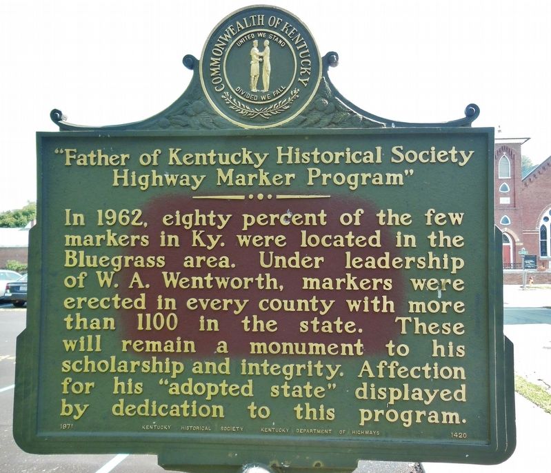
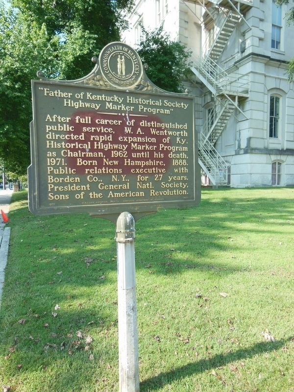
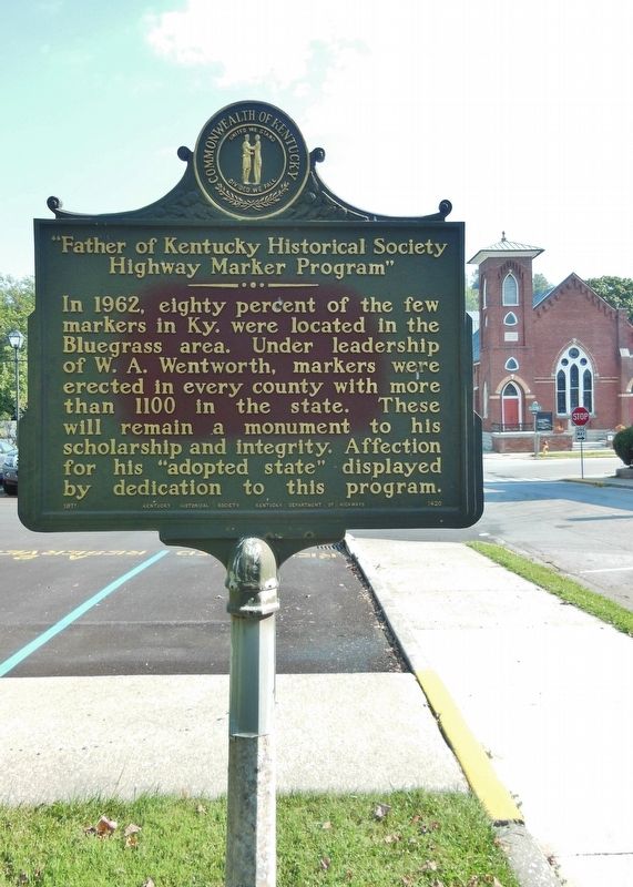
Father of Kentucky Historical Society Highway Marker Program
In 1962, eighty percent of the few markers in Kentucky were located in the Bluegrass area. Under leadership of W. A. Wentworth, markers were erected in every county with more than 1100 in the state. Affection for his “adopted state” was displayed by dedication to this program.
Erected 1971 by Kentucky Historical Society & Kentucky Department of Highways. (Marker Number 1420.)
Topics and series. This historical marker is listed in these topic lists: Communications • Settlements & Settlers. In addition, it is included in the Kentucky Historical Society series list. A significant historical year for this entry is 1962.
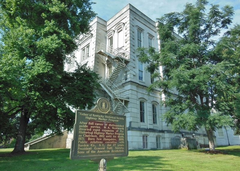
Location. 38° 12.017′ N, 84° 52.55′ W. Marker is in Frankfort, Kentucky, in Franklin County. Marker is on Lewis Street south of Clinton Street (Kentucky Route 420), on the left when traveling north. Marker is on the Old State Capitol Building grounds, at the northeast corner of the property, beside the sidewalk and adjacent to the north parking lot. Touch for map. Marker is at or near this postal address: 300 West Broadway Street, Frankfort KY 40601, United States of America. Touch for directions.
Other nearby markers. At least 8 other markers are within walking distance of this marker. Old State House (within shouting distance of this marker); Confederates Here (within shouting distance of this marker); Early Congregation (within shouting distance of this marker); William Goebel (about 300 feet away, measured in a direct line); Old Kentucky State Prison Keystone (about 300 feet away); Governor William Goebel (about 300 feet away); Inauguration Elm (about 300 feet away); 1864 Attack on Frankfort (about 400 feet away). Touch for a list and map of all markers in Frankfort.
Credits. This page was last revised on March 26, 2022. It was originally submitted on September 26, 2018, by Cosmos Mariner of Cape Canaveral, Florida. This page has been viewed 196 times since then and 17 times this year. Photos: 1, 2, 3, 4, 5. submitted on September 26, 2018, by Cosmos Mariner of Cape Canaveral, Florida. • Andrew Ruppenstein was the editor who published this page.
